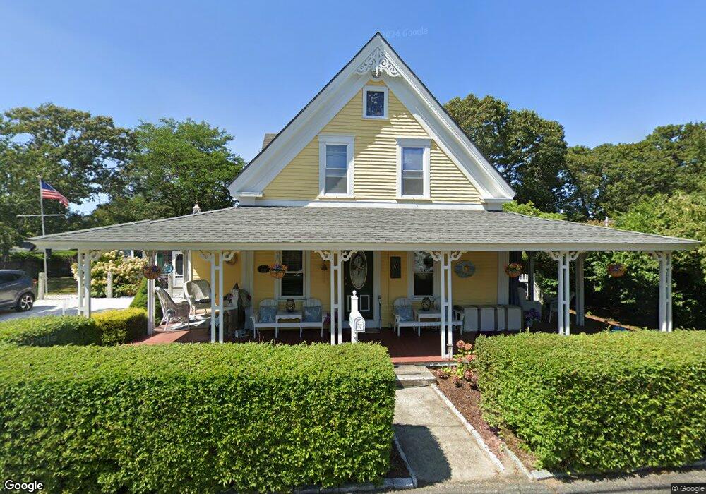
59 Sea St Unit 1 Dennis Port, MA 02639
Dennis Port NeighborhoodEstimated Value: $785,000 - $1,036,000
--
Bed
--
Bath
1,744
Sq Ft
$510/Sq Ft
Est. Value
About This Home
This home is located at 59 Sea St Unit 1, Dennis Port, MA 02639 and is currently estimated at $888,575, approximately $509 per square foot. 59 Sea St Unit 1 is a home located in Barnstable County with nearby schools including Dennis-Yarmouth Regional High School and St. Pius X. School.
Ownership History
Date
Name
Owned For
Owner Type
Purchase Details
Closed on
Apr 9, 2024
Sold by
Gregory William P
Bought by
William P Gregory Lt and Gregory
Current Estimated Value
Purchase Details
Closed on
Feb 9, 2010
Sold by
Haverty John C and Haverty Deborah A
Bought by
Haverty Ft and Haverty
Purchase Details
Closed on
Nov 22, 1991
Sold by
White Muriel J
Bought by
Haverty John C and Haverty Deborah L
Home Financials for this Owner
Home Financials are based on the most recent Mortgage that was taken out on this home.
Original Mortgage
$55,000
Interest Rate
8.7%
Mortgage Type
Purchase Money Mortgage
Create a Home Valuation Report for This Property
The Home Valuation Report is an in-depth analysis detailing your home's value as well as a comparison with similar homes in the area
Home Values in the Area
Average Home Value in this Area
Purchase History
| Date | Buyer | Sale Price | Title Company |
|---|---|---|---|
| William P Gregory Lt | -- | None Available | |
| William P Gregory Lt | -- | None Available | |
| Haverty Ft | -- | -- | |
| Haverty Ft | -- | -- | |
| Haverty John C | $100,000 | -- | |
| Haverty John C | $100,000 | -- |
Source: Public Records
Mortgage History
| Date | Status | Borrower | Loan Amount |
|---|---|---|---|
| Previous Owner | Haverty John C | $309,200 | |
| Previous Owner | Haverty John C | $57,000 | |
| Previous Owner | Haverty John C | $55,000 |
Source: Public Records
Tax History Compared to Growth
Tax History
| Year | Tax Paid | Tax Assessment Tax Assessment Total Assessment is a certain percentage of the fair market value that is determined by local assessors to be the total taxable value of land and additions on the property. | Land | Improvement |
|---|---|---|---|---|
| 2025 | $2,952 | $681,700 | $308,700 | $373,000 |
| 2024 | $2,771 | $631,300 | $296,900 | $334,400 |
| 2023 | $2,647 | $566,800 | $269,900 | $296,900 |
| 2022 | $2,424 | $432,900 | $212,700 | $220,200 |
| 2021 | $2,413 | $400,100 | $208,600 | $191,500 |
| 2020 | $2,377 | $389,600 | $208,600 | $181,000 |
| 2019 | $2,519 | $408,300 | $222,000 | $186,300 |
| 2018 | $2,435 | $384,100 | $211,300 | $172,800 |
| 2017 | $2,173 | $353,400 | $194,700 | $158,700 |
| 2016 | $1,941 | $297,200 | $183,500 | $113,700 |
| 2015 | $1,902 | $297,200 | $183,500 | $113,700 |
| 2014 | $1,953 | $307,600 | $172,400 | $135,200 |
Source: Public Records
Map
Nearby Homes
- 22 Ferncliff Rd
- 37-A Beach Hills Rd
- 102 Sea St
- 37 Beach Hills Rd
- 281 Old Wharf Rd
- 402 Old Wharf Rd
- 402 Old Wharf Rd
- 405 Old Wharf Rd Unit B204
- 405 Old Wharf Rd Unit B204
- 262 Old Wharf Rd Unit 67
- 262 Old Wharf Rd Unit 5
- 262 Old Wharf Rd Unit 27
- 262 Old Wharf Rd Unit 18
- 262 Old Wharf Rd Unit 5
- 262 Old Wharf Rd Unit 20
- 262 Old Wharf Rd Unit 87
- 241 Old Wharf Rd Unit 82
- 241 Old Wharf Rd Unit 127
- 241 Old Wharf Rd Unit 90
- 241 Old Wharf Rd Unit 88