59 Shares Ln South Windsor, CT 06074
Estimated Value: $345,000 - $371,000
2
Beds
2
Baths
1,294
Sq Ft
$279/Sq Ft
Est. Value
About This Home
This home is located at 59 Shares Ln, South Windsor, CT 06074 and is currently estimated at $361,536, approximately $279 per square foot. 59 Shares Ln is a home located in Hartford County with nearby schools including Timothy Edwards School, South Windsor High School, and St Bridget School.
Ownership History
Date
Name
Owned For
Owner Type
Purchase Details
Closed on
Aug 31, 2015
Sold by
Janco-Mader Cheryl
Bought by
Kaiser Heather K
Current Estimated Value
Home Financials for this Owner
Home Financials are based on the most recent Mortgage that was taken out on this home.
Original Mortgage
$50,000
Outstanding Balance
$20,160
Interest Rate
4.09%
Estimated Equity
$341,376
Purchase Details
Closed on
Jun 18, 2014
Sold by
Janco Bernadine B
Bought by
Mader Cheyrl J
Purchase Details
Closed on
Sep 19, 2006
Sold by
Cummings Isabel
Bought by
Janco Anthony and Janco Bernadine
Home Financials for this Owner
Home Financials are based on the most recent Mortgage that was taken out on this home.
Original Mortgage
$40,000
Interest Rate
6.71%
Create a Home Valuation Report for This Property
The Home Valuation Report is an in-depth analysis detailing your home's value as well as a comparison with similar homes in the area
Home Values in the Area
Average Home Value in this Area
Purchase History
| Date | Buyer | Sale Price | Title Company |
|---|---|---|---|
| Kaiser Heather K | $210,000 | -- | |
| Mader Cheyrl J | -- | -- | |
| Janco Anthony | $255,000 | -- |
Source: Public Records
Mortgage History
| Date | Status | Borrower | Loan Amount |
|---|---|---|---|
| Open | Kaiser Heather K | $50,000 | |
| Previous Owner | Janco Anthony | $22,000 | |
| Previous Owner | Janco Anthony | $40,000 | |
| Previous Owner | Janco Anthony | $320,000 |
Source: Public Records
Tax History Compared to Growth
Tax History
| Year | Tax Paid | Tax Assessment Tax Assessment Total Assessment is a certain percentage of the fair market value that is determined by local assessors to be the total taxable value of land and additions on the property. | Land | Improvement |
|---|---|---|---|---|
| 2024 | $6,344 | $184,100 | $0 | $184,100 |
| 2023 | $6,101 | $184,100 | $0 | $184,100 |
| 2022 | $5,401 | $139,300 | $0 | $139,300 |
| 2021 | $5,274 | $139,300 | $0 | $139,300 |
| 2020 | $5,277 | $139,300 | $0 | $139,300 |
| 2019 | $5,363 | $139,300 | $0 | $139,300 |
| 2018 | $5,247 | $139,300 | $0 | $139,300 |
| 2017 | $5,228 | $137,300 | $0 | $137,300 |
| 2016 | $5,127 | $137,300 | $0 | $137,300 |
| 2015 | $5,017 | $137,300 | $0 | $137,300 |
| 2014 | $4,876 | $137,300 | $0 | $137,300 |
Source: Public Records
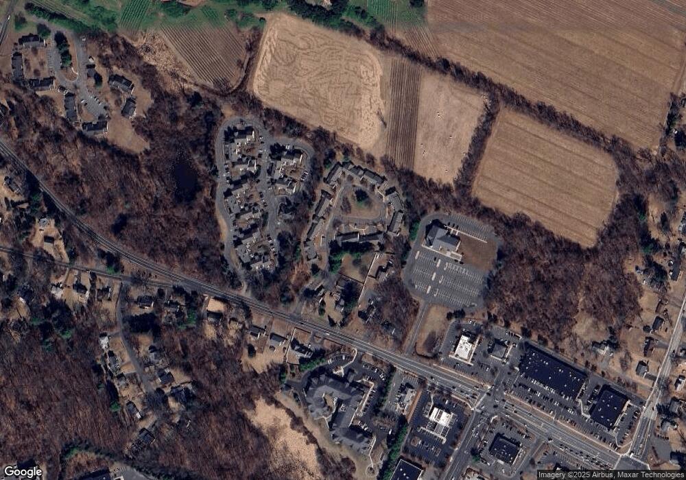
Map
Nearby Homes
- 33 Imperial Dr
- 120 Avery St
- 455 Oakland Rd
- 11 Carman Rd
- 65 Donahue Ln
- 34 Benedict Dr
- 486 Tolland Turnpike
- 400 Avery St
- 155 Pine Tree Ln
- 372 Oakland St
- 10 Mohegan Trail
- 25 Chatsworth Ct
- 23 Chatsworth Ct
- 21 Chatsworth Ct
- 25 Summit Dr
- 4 Alpine Dr
- 16 Kelly Rd
- 122 Greenwood Dr
- 74 North St
- 193 Oakland St Unit A