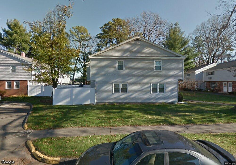
59 Sheri Ln Agawam, MA 01001
Estimated Value: $211,000 - $268,000
2
Beds
2
Baths
1,242
Sq Ft
$191/Sq Ft
Est. Value
About This Home
This home is located at 59 Sheri Ln, Agawam, MA 01001 and is currently estimated at $236,850, approximately $190 per square foot. 59 Sheri Ln is a home located in Hampden County with nearby schools including Agawam Junior High School, Agawam High School, and St Thomas The Apostle School.
Ownership History
Date
Name
Owned For
Owner Type
Purchase Details
Closed on
Mar 31, 2008
Sold by
Fortier Janet M
Bought by
Demchuk Olga and Demchuk Sergey
Current Estimated Value
Home Financials for this Owner
Home Financials are based on the most recent Mortgage that was taken out on this home.
Original Mortgage
$145,000
Outstanding Balance
$90,841
Interest Rate
5.76%
Mortgage Type
Purchase Money Mortgage
Estimated Equity
$146,009
Purchase Details
Closed on
Nov 1, 2007
Sold by
Howe Carol A and Howe William B
Bought by
Fortier Janet M
Create a Home Valuation Report for This Property
The Home Valuation Report is an in-depth analysis detailing your home's value as well as a comparison with similar homes in the area
Home Values in the Area
Average Home Value in this Area
Purchase History
| Date | Buyer | Sale Price | Title Company |
|---|---|---|---|
| Demchuk Olga | $145,000 | -- | |
| Fortier Janet M | -- | -- |
Source: Public Records
Mortgage History
| Date | Status | Borrower | Loan Amount |
|---|---|---|---|
| Open | Demchuk Olga | $145,000 |
Source: Public Records
Tax History Compared to Growth
Tax History
| Year | Tax Paid | Tax Assessment Tax Assessment Total Assessment is a certain percentage of the fair market value that is determined by local assessors to be the total taxable value of land and additions on the property. | Land | Improvement |
|---|---|---|---|---|
| 2025 | $2,776 | $189,600 | $0 | $189,600 |
| 2024 | $2,757 | $189,600 | $0 | $189,600 |
| 2023 | $2,146 | $136,000 | $0 | $136,000 |
| 2022 | $1,972 | $122,400 | $0 | $122,400 |
| 2021 | $1,961 | $116,700 | $0 | $116,700 |
| 2020 | $1,937 | $115,100 | $0 | $115,100 |
| 2019 | $1,886 | $113,300 | $0 | $113,300 |
| 2018 | $1,889 | $113,700 | $0 | $113,700 |
| 2017 | $1,819 | $111,500 | $0 | $111,500 |
| 2016 | $1,744 | $107,800 | $0 | $107,800 |
| 2015 | $1,547 | $98,300 | $0 | $98,300 |
Source: Public Records
Map
Nearby Homes
- 468 Springfield St
- 56 Taft St
- 64 Blairs Hill Rd
- 335-337 Springfield St
- 36-38 Rowley St
- 25 Damato Way
- 86 Willow Brook Dr
- 267 Rowley St
- 712 Cooper St
- 354 Rowley St
- 138 Suffield St
- lot A North St
- 94 Witheridge St
- 67 Colemore St
- 50 Howard St
- 190 Mill St
- 51 Reed St
- 7 Agnoli Place
- 64 Woodside Dr
- 691 Mill St