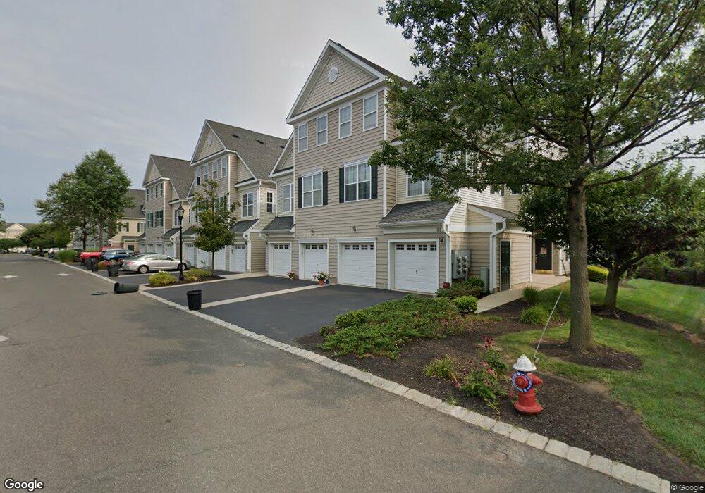
59 Swing Bridge Ln South Bound Brook, NJ 08880
Estimated Value: $488,669 - $515,000
--
Bed
--
Bath
2,096
Sq Ft
$240/Sq Ft
Est. Value
About This Home
This home is located at 59 Swing Bridge Ln, South Bound Brook, NJ 08880 and is currently estimated at $502,556, approximately $239 per square foot. 59 Swing Bridge Ln is a home located in Somerset County with nearby schools including Robert Morris School and Green Brook Academy.
Ownership History
Date
Name
Owned For
Owner Type
Purchase Details
Closed on
Aug 5, 2021
Sold by
Owens Ronald Christopher and Owens Colette N
Bought by
Owens Ronald Christopher and Owens Colette N
Current Estimated Value
Home Financials for this Owner
Home Financials are based on the most recent Mortgage that was taken out on this home.
Original Mortgage
$262,700
Outstanding Balance
$220,673
Interest Rate
2.9%
Mortgage Type
New Conventional
Estimated Equity
$281,883
Purchase Details
Closed on
Jun 20, 2007
Sold by
Matzel & Mumford At South Bound Brook Ur
Bought by
Owens Ronald Christopher
Home Financials for this Owner
Home Financials are based on the most recent Mortgage that was taken out on this home.
Original Mortgage
$334,400
Interest Rate
6.78%
Mortgage Type
Purchase Money Mortgage
Create a Home Valuation Report for This Property
The Home Valuation Report is an in-depth analysis detailing your home's value as well as a comparison with similar homes in the area
Home Values in the Area
Average Home Value in this Area
Purchase History
| Date | Buyer | Sale Price | Title Company |
|---|---|---|---|
| Owens Ronald Christopher | -- | Boston National Title | |
| Owens Ronald Christopher | $418,005 | None Available |
Source: Public Records
Mortgage History
| Date | Status | Borrower | Loan Amount |
|---|---|---|---|
| Open | Owens Ronald Christopher | $262,700 | |
| Previous Owner | Owens Ronald Christopher | $334,400 |
Source: Public Records
Tax History Compared to Growth
Tax History
| Year | Tax Paid | Tax Assessment Tax Assessment Total Assessment is a certain percentage of the fair market value that is determined by local assessors to be the total taxable value of land and additions on the property. | Land | Improvement |
|---|---|---|---|---|
| 2025 | -- | $320,000 | $60,000 | $260,000 |
| 2024 | -- | $320,000 | $60,000 | $260,000 |
| 2023 | -- | $320,000 | $60,000 | $260,000 |
| 2022 | -- | $320,000 | $60,000 | $260,000 |
| 2021 | $0 | $320,000 | $60,000 | $260,000 |
| 2020 | $0 | $366,800 | $60,000 | $306,800 |
| 2019 | $0 | $366,800 | $60,000 | $306,800 |
| 2018 | $0 | $366,800 | $60,000 | $306,800 |
| 2017 | $0 | $366,800 | $60,000 | $306,800 |
| 2016 | $0 | $366,800 | $60,000 | $306,800 |
| 2015 | -- | $366,800 | $60,000 | $306,800 |
| 2014 | -- | $366,800 | $60,000 | $306,800 |
Source: Public Records
Map
Nearby Homes
- 1 Liberty Way
- 123 Elizabeth St
- 112 East St
- 123 Edgewood Terrace
- 8 Von Steuben Ln
- 20 van Syckle Blvd
- 71 Remsen St
- 206 Bathgate Ave
- 231 Beck Ave
- 112-114 E Union Ave
- 112 E Union Ave
- 162 Linden Ave
- 535 Madison Ave
- 14 E Maple Ave
- 311 Ashland Rd
- 102 W Franklin St
- 126 W High St
- 208 Sanders Ave
- 10 Maplehurst Ln
- 520 Winsor St
- 63 Swing Bridge Ln
- 55 Swing Bridge Ln Unit 1210
- 61 Swing Bridge Ln Unit 1207
- 65 Swing Bridge Ln Unit 1205
- 57 Swing Bridge Ln
- 51 Swing Bridge Ln
- 67 Swing Bridge Ln
- 51 Four Swing Bridge Ln
- 53 Swing Bridge Ln
- 69 Swing Bridge Ln Unit 1203
- 71 Swing Bridge Ln Unit 1202
- 73 Swing Bridge Ln
- 75 Swing Bridge Ln
- 77 Swing Bridge Ln
- 1 Patriots Path
- 3 Patriots Path
- 79 Swing Bridge Ln
- 49 Swing Bridge Ln Unit 1301
- 24 Patriots Path
- 81 Swing Bridge Ln