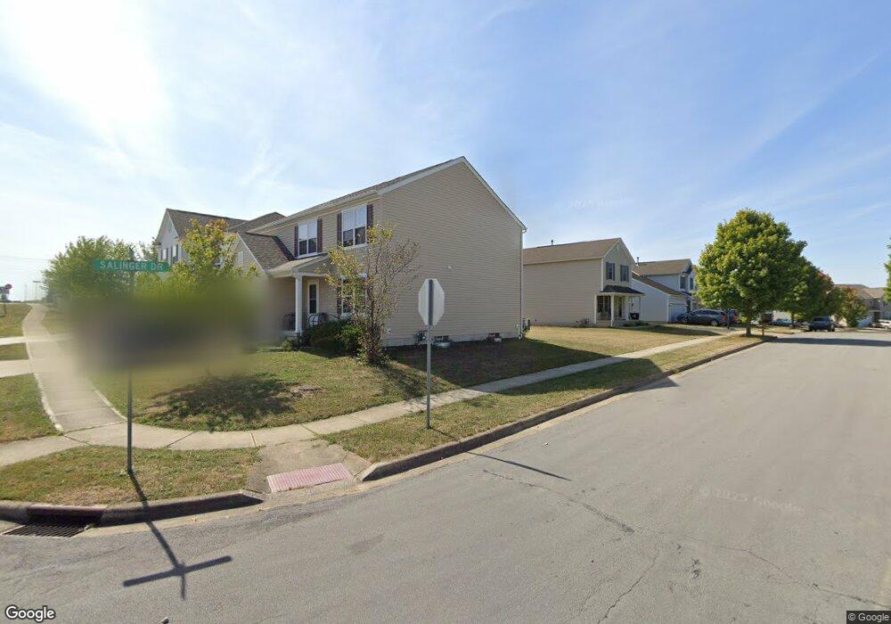
59 Twain Ave Lithopolis, OH 43136
Bloom NeighborhoodEstimated Value: $366,017 - $447,000
4
Beds
3
Baths
2,280
Sq Ft
$175/Sq Ft
Est. Value
About This Home
This home is located at 59 Twain Ave, Lithopolis, OH 43136 and is currently estimated at $399,004, approximately $175 per square foot. 59 Twain Ave is a home with nearby schools including Bloom Carroll Primary School, Bloom Carroll Intermediate School, and Bloom-Carroll Middle School.
Ownership History
Date
Name
Owned For
Owner Type
Purchase Details
Closed on
May 31, 2016
Sold by
Westport Homes Inc
Bought by
Barry Hassimiou and Sow Noumou
Current Estimated Value
Home Financials for this Owner
Home Financials are based on the most recent Mortgage that was taken out on this home.
Original Mortgage
$212,734
Outstanding Balance
$165,152
Interest Rate
3.25%
Mortgage Type
FHA
Estimated Equity
$233,852
Create a Home Valuation Report for This Property
The Home Valuation Report is an in-depth analysis detailing your home's value as well as a comparison with similar homes in the area
Home Values in the Area
Average Home Value in this Area
Purchase History
| Date | Buyer | Sale Price | Title Company |
|---|---|---|---|
| Barry Hassimiou | $216,700 | None Available |
Source: Public Records
Mortgage History
| Date | Status | Borrower | Loan Amount |
|---|---|---|---|
| Open | Barry Hassimiou | $212,734 |
Source: Public Records
Tax History
| Year | Tax Paid | Tax Assessment Tax Assessment Total Assessment is a certain percentage of the fair market value that is determined by local assessors to be the total taxable value of land and additions on the property. | Land | Improvement |
|---|---|---|---|---|
| 2025 | $8,246 | $118,140 | $34,380 | $83,760 |
| 2024 | $8,246 | $103,850 | $10,070 | $93,780 |
| 2023 | $5,505 | $103,850 | $10,070 | $93,780 |
| 2022 | $4,392 | $103,850 | $10,070 | $93,780 |
| 2021 | $3,860 | $82,960 | $7,500 | $75,460 |
| 2020 | $3,902 | $82,960 | $7,500 | $75,460 |
| 2019 | $3,914 | $82,960 | $7,500 | $75,460 |
| 2018 | $3,100 | $66,780 | $7,500 | $59,280 |
| 2017 | $2,917 | $66,850 | $6,320 | $60,530 |
| 2016 | $792 | $18,430 | $6,320 | $12,110 |
| 2015 | $279 | $6,320 | $6,320 | $0 |
| 2014 | $270 | $6,320 | $6,320 | $0 |
| 2013 | $270 | $6,320 | $6,320 | $0 |
Source: Public Records
Map
Nearby Homes
- 891 Orwell St
- 146 Poe Ave
- 94 Sandburg Dr
- 197 Faulkner Dr
- 248 Faulkner Dr
- 1375 Hansberry Dr
- 89 Wheatley St
- 557 Eastman Ave
- 607 Eastman Ave
- 777 Faulkner Dr
- 0 Columbus St Unit 225023784
- 6495 Saylor St
- 290 Jonathan Trail
- 5225 Lithopolis Winchester Nw Rd
- 678 Green Forest Place
- 5795 Lithopolis Winchester Rd NW
- 19 W Columbus St
- 6065 Wilson Dr
- 680 Crestview Dr
- 631 Rolling Acre Dr
- 47 Twain Ave
- 60 Twain Ave
- 48 Twain Ave
- 81 Twain Ave
- 847 Salinger Dr
- 80 Twain Ave Unit 44
- 80 Twain Ave
- 91 Twain Ave
- 857 Salinger Dr
- 850 Salinger Dr
- 793 Salinger Dr
- 90 Twain Ave
- 103 Twain Ave
- 103 Twain Ave Unit 52
- 867 Salinger Dr
- 862 Salinger Dr
- 790 Salinger Dr Unit 43
- 783 Salinger Dr
- 100 Twain Ave
- 851 Orwell St
Your Personal Tour Guide
Ask me questions while you tour the home.