59 Warren Messer Dr Waynesville, NC 28785
Estimated Value: $426,084 - $449,000
3
Beds
2
Baths
780
Sq Ft
$558/Sq Ft
Est. Value
About This Home
This home is located at 59 Warren Messer Dr, Waynesville, NC 28785 and is currently estimated at $435,028, approximately $557 per square foot. 59 Warren Messer Dr is a home located in Haywood County with nearby schools including Jonathan Valley Elementary School, Waynesville Middle, and Tuscola High.
Ownership History
Date
Name
Owned For
Owner Type
Purchase Details
Closed on
Jul 22, 2021
Sold by
Warren R C R and Warren Hazel S
Bought by
Warren Robinson Cato and Warren Hazel Smith
Current Estimated Value
Home Financials for this Owner
Home Financials are based on the most recent Mortgage that was taken out on this home.
Original Mortgage
$516,000
Outstanding Balance
$504,754
Interest Rate
2.93%
Mortgage Type
FHA
Estimated Equity
-$69,726
Purchase Details
Closed on
Sep 10, 1982
Bought by
Warren Warren R and Warren Hazel S
Create a Home Valuation Report for This Property
The Home Valuation Report is an in-depth analysis detailing your home's value as well as a comparison with similar homes in the area
Home Values in the Area
Average Home Value in this Area
Purchase History
| Date | Buyer | Sale Price | Title Company |
|---|---|---|---|
| Warren Robinson Cato | -- | None Available | |
| Warren Warren R | $30,000 | -- |
Source: Public Records
Mortgage History
| Date | Status | Borrower | Loan Amount |
|---|---|---|---|
| Open | Warren Robinson Cato | $516,000 |
Source: Public Records
Tax History Compared to Growth
Tax History
| Year | Tax Paid | Tax Assessment Tax Assessment Total Assessment is a certain percentage of the fair market value that is determined by local assessors to be the total taxable value of land and additions on the property. | Land | Improvement |
|---|---|---|---|---|
| 2025 | -- | $264,800 | $46,900 | $217,900 |
| 2024 | $1,775 | $260,700 | $46,900 | $213,800 |
| 2023 | $1,736 | $260,700 | $46,900 | $213,800 |
| 2022 | $1,736 | $260,700 | $46,900 | $213,800 |
| 2021 | $1,736 | $260,700 | $46,900 | $213,800 |
| 2020 | $1,523 | $208,300 | $46,900 | $161,400 |
| 2019 | $1,528 | $208,300 | $46,900 | $161,400 |
| 2018 | $1,528 | $208,300 | $46,900 | $161,400 |
| 2017 | $1,528 | $208,300 | $0 | $0 |
| 2016 | $1,534 | $215,300 | $0 | $0 |
| 2015 | $1,534 | $215,300 | $0 | $0 |
| 2014 | $1,408 | $215,300 | $0 | $0 |
Source: Public Records
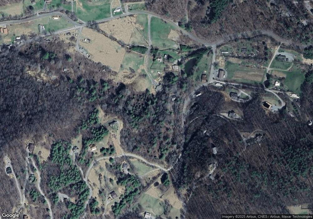
Map
Nearby Homes
- 156 Jubilee Way
- 00 Point of View Dr
- 195 Secluded Cove
- 234 Historic Oak Trail
- 00 Yonah Trail Unit 7
- 9 Point of View Dr Unit 9
- 44 Jenkins Rd
- 000 Trotters Trail
- 574 Appaloosa Trail
- 000 White Oak Rd
- 1064 Point of View Dr
- 2200 Cove Creek Rd
- 87 Medley Dr
- 283 Grapevine Cove Rd
- 00 Pitch Fork Cove Unit 525
- 2981 Heath Peak Rd
- 00 Serendipity Ln Unit 111
- 2977 Heath Peak Rd
- 75 Creekwalk Ln
- 00 Slippery Rock Rd Unit 306 & 307
- 156 Jubilee Way
- 156 Jubilee Way
- 68 Warren Messer Dr
- 00 Sutton Town Rd Unit 1,2,3
- 00 Sutton Town Rd
- 00 Sutton Town Rd Unit 4
- 54 Hawthorne Rd
- 3A Wj Rd
- 71 Hawthorne Rd
- 41 Hawthorne Rd
- 32 J C Rd
- 245 Hawthorne Rd
- 98 Wj Rd
- 140 Love Carriage Loop
- 11 James Franklin Place
- 28 Secluded Cove
- 120 Lode Star Ln
- 98 Secluded Cove
- 263 Valley Cove Place
- 515 Hawthorne Rd