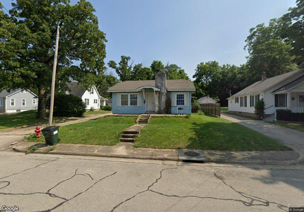
590 Bland Ave Lebanon, MO 65536
Estimated Value: $99,317 - $138,000
2
Beds
--
Bath
1,059
Sq Ft
$109/Sq Ft
Est. Value
About This Home
This home is located at 590 Bland Ave, Lebanon, MO 65536 and is currently estimated at $115,579, approximately $109 per square foot. 590 Bland Ave is a home located in Laclede County with nearby schools including Joe D. Esther Elementary School, Boswell Elementary School, and Maplecrest Elementary School.
Ownership History
Date
Name
Owned For
Owner Type
Purchase Details
Closed on
Nov 17, 2009
Sold by
Goodwin William F
Bought by
Richins D Clarke and Richins Leslie
Current Estimated Value
Home Financials for this Owner
Home Financials are based on the most recent Mortgage that was taken out on this home.
Original Mortgage
$31,000
Outstanding Balance
$20,231
Interest Rate
4.99%
Mortgage Type
Future Advance Clause Open End Mortgage
Estimated Equity
$95,348
Create a Home Valuation Report for This Property
The Home Valuation Report is an in-depth analysis detailing your home's value as well as a comparison with similar homes in the area
Home Values in the Area
Average Home Value in this Area
Purchase History
| Date | Buyer | Sale Price | Title Company |
|---|---|---|---|
| Richins D Clarke | -- | None Available |
Source: Public Records
Mortgage History
| Date | Status | Borrower | Loan Amount |
|---|---|---|---|
| Open | Richins D Clarke | $31,000 |
Source: Public Records
Tax History Compared to Growth
Tax History
| Year | Tax Paid | Tax Assessment Tax Assessment Total Assessment is a certain percentage of the fair market value that is determined by local assessors to be the total taxable value of land and additions on the property. | Land | Improvement |
|---|---|---|---|---|
| 2025 | $403 | $7,980 | $0 | $0 |
| 2024 | $403 | $7,070 | $0 | $0 |
| 2023 | $381 | $6,480 | $0 | $0 |
| 2022 | $355 | $6,480 | $0 | $0 |
| 2021 | $391 | $6,479 | $1,273 | $5,206 |
| 2020 | $393 | $6,479 | $1,273 | $5,206 |
| 2019 | $376 | $6,480 | $1,270 | $5,210 |
| 2018 | $353 | $6,480 | $1,270 | $5,210 |
| 2017 | $329 | $6,480 | $0 | $0 |
| 2016 | $329 | $6,480 | $0 | $0 |
| 2015 | $329 | $6,480 | $0 | $0 |
| 2014 | $329 | $6,370 | $0 | $0 |
| 2013 | -- | $6,370 | $0 | $0 |
Source: Public Records
Map
Nearby Homes
- 0 County Rd 64-152 N A
- 169 Grand Ave
- 595 Chestnut St
- 757 S Adams Ave
- 233 N Park Manor Blvd
- 440 Railroad Ave
- 377 Lincoln Ave
- 540 Pearl St
- 480 Center Ave
- 411 South St
- 853 W Park Manor Blvd
- 371 N Washington Ave
- Lot 20 Missouri 64
- 1719 State Hwy 64
- 015 Missouri 64
- Lot 19 Missouri 64
- Lot 18 Missouri 64
- Lot 17 Missouri 64
- 014 Missouri 64
- 016 Missouri 64