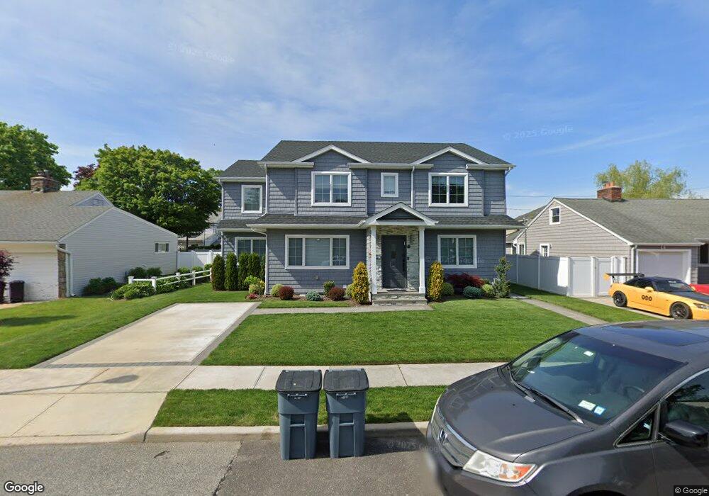
590 Colonade Rd Unit 1 West Hempstead, NY 11552
Estimated Value: $929,000 - $933,439
2
Beds
1
Bath
3,222
Sq Ft
$289/Sq Ft
Est. Value
About This Home
This home is located at 590 Colonade Rd Unit 1, West Hempstead, NY 11552 and is currently estimated at $931,220, approximately $289 per square foot. 590 Colonade Rd Unit 1 is a home located in Nassau County with nearby schools including Chestnut Street School, West Hempstead Middle School, and West Hempstead Secondary School.
Ownership History
Date
Name
Owned For
Owner Type
Purchase Details
Closed on
Nov 30, 2020
Sold by
Therome Holdings Llc
Bought by
Klein Gary M and Klein Pamela
Current Estimated Value
Home Financials for this Owner
Home Financials are based on the most recent Mortgage that was taken out on this home.
Original Mortgage
$400,000
Outstanding Balance
$356,119
Interest Rate
2.7%
Mortgage Type
New Conventional
Estimated Equity
$575,101
Purchase Details
Closed on
Jan 18, 2001
Create a Home Valuation Report for This Property
The Home Valuation Report is an in-depth analysis detailing your home's value as well as a comparison with similar homes in the area
Home Values in the Area
Average Home Value in this Area
Purchase History
| Date | Buyer | Sale Price | Title Company |
|---|---|---|---|
| Klein Gary M | $500,000 | None Available | |
| -- | -- | -- | |
| Peluso Thomas | $150,600 | Lori S. April |
Source: Public Records
Mortgage History
| Date | Status | Borrower | Loan Amount |
|---|---|---|---|
| Open | Klein Gary M | $400,000 |
Source: Public Records
Tax History Compared to Growth
Tax History
| Year | Tax Paid | Tax Assessment Tax Assessment Total Assessment is a certain percentage of the fair market value that is determined by local assessors to be the total taxable value of land and additions on the property. | Land | Improvement |
|---|---|---|---|---|
| 2025 | $16,067 | $863 | $269 | $594 |
| 2024 | $4,782 | $863 | $269 | $594 |
| 2023 | $14,147 | $520 | $269 | $251 |
| 2022 | $14,147 | $520 | $269 | $251 |
| 2021 | $19,068 | $497 | $257 | $240 |
| 2020 | $14,014 | $757 | $633 | $124 |
| 2019 | $4,132 | $719 | $633 | $86 |
| 2018 | $8,386 | $719 | $0 | $0 |
| 2017 | $7,573 | $719 | $633 | $86 |
| 2016 | $11,305 | $719 | $633 | $86 |
| 2015 | $3,473 | $719 | $633 | $86 |
| 2014 | $3,473 | $719 | $633 | $86 |
| 2013 | $3,245 | $719 | $633 | $86 |
Source: Public Records
Map
Nearby Homes
- 670 Hempstead Ave
- 635 Hempstead Ave
- 613 Adams Ave
- 618 Wall St
- 696 Byron Ave
- 697 Byron Ave
- 757 Harrison St
- 708 Anderson Ave
- 23 Rhoda St
- 537 Madison Ave
- 883 Cleveland St
- 771 Maple Place
- 19 Richard St
- 853 Arthur St
- 688 Alton Rd
- 841 Harrison St
- 899 Cleveland St
- 709 Seabury Ave
- 490 Walton Ct
- 757 Marion St
- 590 Colonade Rd
- 584 Colonade Rd
- 600 Colonade Rd
- 595 Knollwood Dr
- 589 Knollwood Dr
- 601 Knollwood Dr
- 583 Knollwood Dr
- 572 Colonade Rd
- 606 Colonade Rd
- 589 Colonade Rd
- 595 Colonade Rd
- 583 Colonade Rd
- 601 Colonade Rd
- 607 Knollwood Dr
- 530 Colonade Rd
- 577 Colonade Rd
- 614 Colonade Rd
- 607 Colonade Rd
- 613 Knollwood Dr
- 590 Knollwood Dr