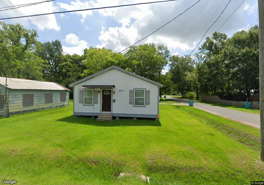
590 Halsey St Eunice, LA 70535
Estimated Value: $81,000 - $101,000
3
Beds
2
Baths
1,243
Sq Ft
$75/Sq Ft
Est. Value
About This Home
This home is located at 590 Halsey St, Eunice, LA 70535 and is currently estimated at $92,792, approximately $74 per square foot. 590 Halsey St is a home located in St. Landry Parish with nearby schools including St. Edmund Elementary School and St. Edmund Catholic School.
Ownership History
Date
Name
Owned For
Owner Type
Purchase Details
Closed on
Jul 1, 2022
Sold by
Dupre Rhoeyce M
Bought by
Lastrapes Diana Renee
Current Estimated Value
Home Financials for this Owner
Home Financials are based on the most recent Mortgage that was taken out on this home.
Original Mortgage
$90,000
Outstanding Balance
$85,632
Interest Rate
5.1%
Mortgage Type
New Conventional
Estimated Equity
$7,160
Purchase Details
Closed on
Dec 13, 2016
Sold by
Portier Dupre Kenneth and Portier Dupre Hilma
Bought by
Dupre Rhoeyce M
Create a Home Valuation Report for This Property
The Home Valuation Report is an in-depth analysis detailing your home's value as well as a comparison with similar homes in the area
Home Values in the Area
Average Home Value in this Area
Purchase History
| Date | Buyer | Sale Price | Title Company |
|---|---|---|---|
| Lastrapes Diana Renee | $90,000 | Bayou Title | |
| Dupre Rhoeyce M | -- | -- |
Source: Public Records
Mortgage History
| Date | Status | Borrower | Loan Amount |
|---|---|---|---|
| Open | Lastrapes Diana Renee | $90,000 |
Source: Public Records
Tax History Compared to Growth
Tax History
| Year | Tax Paid | Tax Assessment Tax Assessment Total Assessment is a certain percentage of the fair market value that is determined by local assessors to be the total taxable value of land and additions on the property. | Land | Improvement |
|---|---|---|---|---|
| 2024 | $120 | $8,310 | $850 | $7,460 |
| 2023 | $114 | $8,090 | $850 | $7,240 |
| 2022 | $352 | $8,090 | $850 | $7,240 |
| 2021 | $207 | $4,760 | $710 | $4,050 |
| 2020 | $205 | $4,760 | $710 | $4,050 |
| 2019 | $199 | $4,570 | $650 | $3,920 |
| 2018 | $199 | $4,570 | $650 | $3,920 |
| 2017 | $199 | $4,570 | $650 | $3,920 |
| 2015 | $27 | $630 | $630 | $0 |
| 2013 | $27 | $630 | $630 | $0 |
Source: Public Records
Map
Nearby Homes
- 220 S Mallet St
- 421 Cotton Ave
- 450 E Vine Ave
- TBD Ulysses St
- 1221 Anne St
- 341 N Saint George St
- 227 E Peach Ave
- Tbd Laurel St
- 1450 Laurel St
- 0000 Highway 190
- 530 S 4th St
- 401 S 4th St
- 1100 Nile St
- 530 Gum Ave
- 220 S Vivian Ave
- 301 N 5th St
- 1411 Nile St
- 300 N 6th St
- 0 Ulysses St Unit 2500005018
- 0 E Laurel Ave Unit 21010342