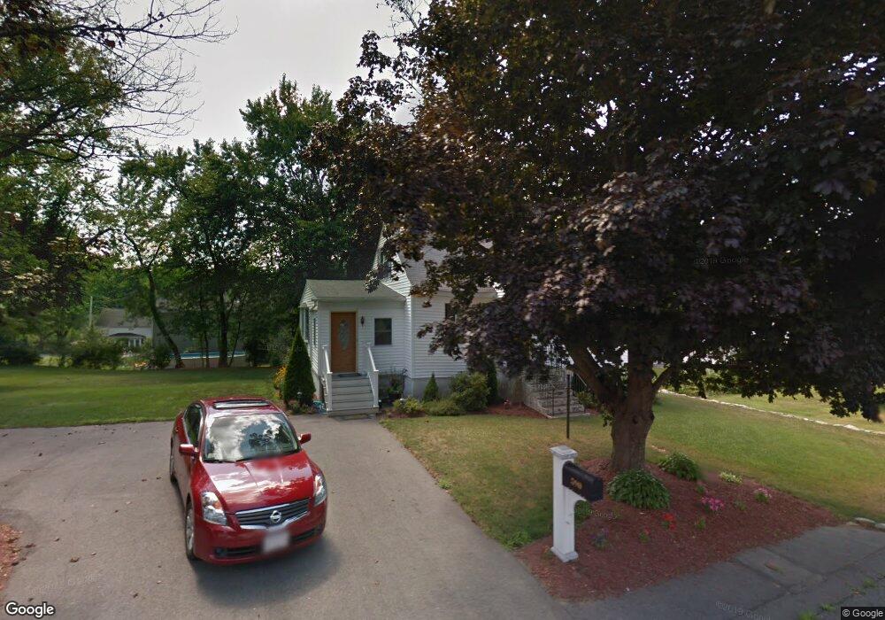
590 Hildreth St Dracut, MA 01826
Estimated Value: $496,000 - $528,000
2
Beds
2
Baths
1,423
Sq Ft
$357/Sq Ft
Est. Value
About This Home
This home is located at 590 Hildreth St, Dracut, MA 01826 and is currently estimated at $508,698, approximately $357 per square foot. 590 Hildreth St is a home located in Middlesex County with nearby schools including George H. Englesby Elementary School, Richardson Middle School, and Dracut Senior High School.
Ownership History
Date
Name
Owned For
Owner Type
Purchase Details
Closed on
Apr 29, 2005
Sold by
Clark Gayle J and Harper Joseph H
Bought by
Roper James W and Fleury Nicole L
Current Estimated Value
Home Financials for this Owner
Home Financials are based on the most recent Mortgage that was taken out on this home.
Original Mortgage
$190,400
Outstanding Balance
$99,976
Interest Rate
5.95%
Mortgage Type
Purchase Money Mortgage
Estimated Equity
$408,722
Create a Home Valuation Report for This Property
The Home Valuation Report is an in-depth analysis detailing your home's value as well as a comparison with similar homes in the area
Home Values in the Area
Average Home Value in this Area
Purchase History
| Date | Buyer | Sale Price | Title Company |
|---|---|---|---|
| Roper James W | $238,000 | -- |
Source: Public Records
Mortgage History
| Date | Status | Borrower | Loan Amount |
|---|---|---|---|
| Open | Roper James W | $190,400 |
Source: Public Records
Tax History
| Year | Tax Paid | Tax Assessment Tax Assessment Total Assessment is a certain percentage of the fair market value that is determined by local assessors to be the total taxable value of land and additions on the property. | Land | Improvement |
|---|---|---|---|---|
| 2025 | $4,198 | $414,800 | $195,100 | $219,700 |
| 2024 | $4,042 | $386,800 | $185,800 | $201,000 |
| 2023 | $3,908 | $337,500 | $161,600 | $175,900 |
| 2022 | $3,807 | $309,800 | $146,800 | $163,000 |
| 2021 | $6,794 | $284,000 | $133,500 | $150,500 |
| 2020 | $3,595 | $269,300 | $129,600 | $139,700 |
| 2019 | $3,741 | $272,100 | $123,400 | $148,700 |
| 2018 | $5,914 | $244,900 | $123,400 | $121,500 |
| 2017 | $3,297 | $244,900 | $123,400 | $121,500 |
| 2016 | $3,202 | $215,800 | $118,600 | $97,200 |
| 2015 | $3,149 | $210,900 | $118,600 | $92,300 |
| 2014 | $3,001 | $207,100 | $118,600 | $88,500 |
Source: Public Records
Map
Nearby Homes
- 551 Hildreth St Unit 10
- 417 Hildreth St Unit 30
- 75 Sladen St
- 16 Peabody Ave
- 367 Hildreth St Unit 14
- 367 Hildreth St Unit 33
- 345 Hildreth St Unit 14
- 1391 Bridge St
- 930 Lakeview Ave
- 26 Farmland Rd Unit C
- 1563 Bridge St
- 1573 Bridge St
- 15 Dana St
- 54 Montaup Ave
- 69 Arlington St
- 40 Arlington Ave
- 19 Louis Farm Rd Unit 19
- 13 Louis Farm Rd Unit 13
- 26 Frank St
- 175 Willard St Unit 9
- 600 Hildreth St
- 580 Hildreth St
- 47 Hillside Rd
- 14 Burdette Rd
- 39 Hillside Rd
- 570 Hildreth St
- 591 Hildreth St
- 581 Hildreth St
- 599 Hildreth St
- 31 Hillside Rd
- 569 Hildreth St
- 611 Hildreth St
- 606 Hildreth St
- 568 Hildreth St
- 46 Hillside Rd
- 24 Burdette Rd
- 26 Hillside Rd
- 561 Hildreth St
- 619 Hildreth St
- 21 Hillside Rd
Your Personal Tour Guide
Ask me questions while you tour the home.