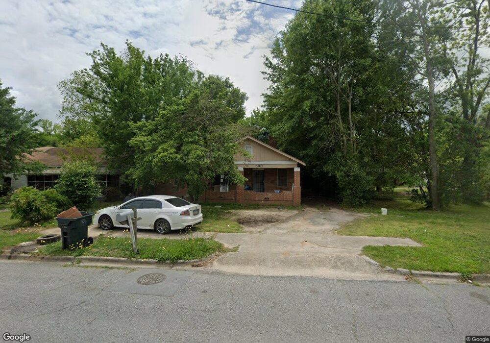
590 Lynmore Ave Macon, GA 31206
Estimated Value: $53,000 - $85,000
3
Beds
1
Bath
1,622
Sq Ft
$43/Sq Ft
Est. Value
About This Home
This home is located at 590 Lynmore Ave, Macon, GA 31206 and is currently estimated at $69,793, approximately $43 per square foot. 590 Lynmore Ave is a home located in Bibb County with nearby schools including Bruce Elementary School, Rutland Middle School, and Rutland High School.
Ownership History
Date
Name
Owned For
Owner Type
Purchase Details
Closed on
Apr 9, 2021
Sold by
Arnberger Brian
Bought by
Pinaquel Llc
Current Estimated Value
Purchase Details
Closed on
Nov 7, 2013
Sold by
Structuring Partners Llc
Bought by
Arnberger Brian
Purchase Details
Closed on
Jul 7, 2008
Sold by
Arnberger Brian
Bought by
Structuring Partners Llc
Purchase Details
Closed on
Jul 28, 2006
Sold by
No 1 Property Rehab Llc
Bought by
Arnberger Brian
Purchase Details
Closed on
May 11, 2005
Sold by
Lawson Laurel S
Bought by
No 1 Property Rehab Llc
Create a Home Valuation Report for This Property
The Home Valuation Report is an in-depth analysis detailing your home's value as well as a comparison with similar homes in the area
Home Values in the Area
Average Home Value in this Area
Purchase History
| Date | Buyer | Sale Price | Title Company |
|---|---|---|---|
| Pinaquel Llc | $25,000 | None Available | |
| Arnberger Brian | -- | None Available | |
| Structuring Partners Llc | -- | None Available | |
| Arnberger Brian | $2,500 | Not Available | |
| No 1 Property Rehab Llc | $18,000 | None Available |
Source: Public Records
Tax History Compared to Growth
Tax History
| Year | Tax Paid | Tax Assessment Tax Assessment Total Assessment is a certain percentage of the fair market value that is determined by local assessors to be the total taxable value of land and additions on the property. | Land | Improvement |
|---|---|---|---|---|
| 2025 | $713 | $29,027 | $2,800 | $26,227 |
| 2024 | $702 | $27,646 | $2,800 | $24,846 |
| 2023 | $819 | $27,646 | $2,800 | $24,846 |
| 2022 | $346 | $12,916 | $1,222 | $11,694 |
| 2021 | $369 | $9,718 | $794 | $8,924 |
| 2020 | $352 | $9,061 | $672 | $8,389 |
| 2019 | $355 | $9,061 | $672 | $8,389 |
| 2018 | $723 | $9,061 | $672 | $8,389 |
| 2017 | $226 | $6,026 | $672 | $5,354 |
| 2016 | $209 | $6,026 | $672 | $5,354 |
| 2015 | $348 | $7,103 | $856 | $6,247 |
| 2014 | $542 | $9,619 | $978 | $8,642 |
Source: Public Records
Map
Nearby Homes
- 598 Lynmore Ave
- 582 Lynmore Ave Unit 582-586
- 582 Lynmore Ave
- 578 Lynmore Ave
- 585 Lynmore Ave
- 589 Lynmore Ave
- 589 Moreland Ave
- 593 Moreland Ave
- 608 Lynmore Ave
- 579 Lynmore Ave
- 3794 Flamingo Dr
- 585 Moreland Ave
- 570 Lynmore Ave
- 3825 Flamingo Dr
- 3845 Flamingo Dr
- 581 Moreland Ave
- 595 Moreland Ave
- 597 Moreland Ave
- 3865 Flamingo Dr
- 566 Lynmore Cir