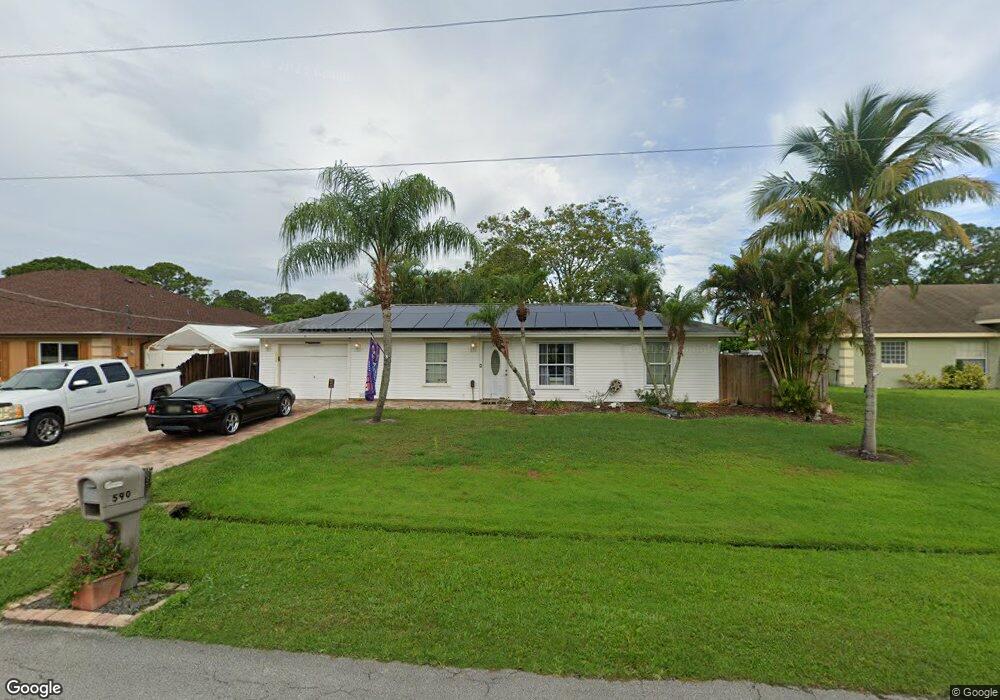
590 NW Kingston St Port Saint Lucie, FL 34983
Northport Village NeighborhoodEstimated Value: $269,000 - $288,000
2
Beds
2
Baths
996
Sq Ft
$277/Sq Ft
Est. Value
About This Home
This home is located at 590 NW Kingston St, Port Saint Lucie, FL 34983 and is currently estimated at $276,198, approximately $277 per square foot. 590 NW Kingston St is a home located in St. Lucie County with nearby schools including Northport K-8 School, Parkway Elementary School, and Floresta Elementary School.
Ownership History
Date
Name
Owned For
Owner Type
Purchase Details
Closed on
Dec 29, 2000
Sold by
Garcy Leonard and Garcy Evelyn
Bought by
Langan John W and Langan Kathleen R
Current Estimated Value
Home Financials for this Owner
Home Financials are based on the most recent Mortgage that was taken out on this home.
Original Mortgage
$3,266
Outstanding Balance
$1,204
Interest Rate
7.53%
Mortgage Type
Purchase Money Mortgage
Estimated Equity
$274,994
Purchase Details
Closed on
Sep 29, 2000
Sold by
Smith Eileen F and Smith Gerald William
Bought by
Langan John W and Langan Kathleen R
Home Financials for this Owner
Home Financials are based on the most recent Mortgage that was taken out on this home.
Original Mortgage
$54,550
Interest Rate
7.97%
Mortgage Type
FHA
Create a Home Valuation Report for This Property
The Home Valuation Report is an in-depth analysis detailing your home's value as well as a comparison with similar homes in the area
Home Values in the Area
Average Home Value in this Area
Purchase History
| Date | Buyer | Sale Price | Title Company |
|---|---|---|---|
| Langan John W | -- | -- | |
| Langan John W | $54,600 | -- |
Source: Public Records
Mortgage History
| Date | Status | Borrower | Loan Amount |
|---|---|---|---|
| Open | Langan John W | $3,266 | |
| Previous Owner | Langan John W | $54,550 |
Source: Public Records
Tax History Compared to Growth
Tax History
| Year | Tax Paid | Tax Assessment Tax Assessment Total Assessment is a certain percentage of the fair market value that is determined by local assessors to be the total taxable value of land and additions on the property. | Land | Improvement |
|---|---|---|---|---|
| 2024 | $1,088 | $51,342 | -- | -- |
| 2023 | $1,088 | $49,847 | $0 | $0 |
| 2022 | $1,100 | $48,396 | $0 | $0 |
| 2021 | $993 | $46,987 | $0 | $0 |
| 2020 | $986 | $46,339 | $0 | $0 |
| 2019 | $970 | $45,298 | $0 | $0 |
| 2018 | $925 | $44,454 | $0 | $0 |
| 2017 | $909 | $93,000 | $28,000 | $65,000 |
| 2016 | $887 | $78,300 | $21,600 | $56,700 |
| 2015 | $1,073 | $61,600 | $14,000 | $47,600 |
| 2014 | $1,042 | $42,013 | $0 | $0 |
Source: Public Records
Map
Nearby Homes
- 526 NW Kingston St
- 651 NW Sharpe St
- 557 NW Fairfax Ave
- 973 NW Bayshore Blvd
- 761 NW Bayshore Blvd
- 585 NW Floresta Dr
- 514 NW Ferris Dr
- 685 NW Bayshore Blvd
- 790 NW Bayard Ave
- 1001 NW Bayshore Blvd
- 637 NW Bayshore Blvd
- 708 NW Floresta Dr
- 1011 NW Bayshore Blvd
- 785 NW Kingston St
- 602 NW Archer Ave
- 590 NW Archer Ave Unit 37
- 412 NW Cornell Ave
- 514 NW Lincoln Ave
- 434 NW Concord Dr
- 514 NW Riverside Dr
- 598 NW Kingston St
- 582 NW Kingston St
- 581 NW Selvitz Rd
- 571 NW Selvitz Rd
- 591 NW Kingston St
- 591 NW Selvitz Rd
- 598 NW Cornell Ave
- 610 NW Kingston St
- 602 NW Placid Ave
- 601 NW Selvitz Rd
- 601 NW Kingston St
- 632 NW Placid Ave
- 590 NW Cornell Ave
- 598 NW Placid Ave
- 589 NW Placid Ave
- 620 NW Kingston St
- 566 NW Kingston St
- 615 NW Kingston St
- 582 NW Selvitz Rd