590 Patrick Creek Rd Weatherford, TX 76087
Estimated Value: $824,000
--
Bed
--
Bath
1,661
Sq Ft
$496/Sq Ft
Est. Value
About This Home
This home is located at 590 Patrick Creek Rd, Weatherford, TX 76087 and is currently estimated at $824,000, approximately $496 per square foot. 590 Patrick Creek Rd is a home located in Parker County with nearby schools including Brock Intermediate School, Brock Junior High School, and Brock High School.
Ownership History
Date
Name
Owned For
Owner Type
Purchase Details
Closed on
Aug 10, 2005
Sold by
Fisher Scott Eugene and Fisher Kelly
Bought by
Haydon Randall
Current Estimated Value
Home Financials for this Owner
Home Financials are based on the most recent Mortgage that was taken out on this home.
Original Mortgage
$222,400
Outstanding Balance
$116,454
Interest Rate
5.61%
Mortgage Type
New Conventional
Estimated Equity
$707,546
Purchase Details
Closed on
Oct 22, 1990
Bought by
Haydon Randall
Create a Home Valuation Report for This Property
The Home Valuation Report is an in-depth analysis detailing your home's value as well as a comparison with similar homes in the area
Home Values in the Area
Average Home Value in this Area
Purchase History
| Date | Buyer | Sale Price | Title Company |
|---|---|---|---|
| Haydon Randall | -- | None Available | |
| Haydon Randall | -- | -- |
Source: Public Records
Mortgage History
| Date | Status | Borrower | Loan Amount |
|---|---|---|---|
| Open | Haydon Randall | $222,400 |
Source: Public Records
Tax History Compared to Growth
Tax History
| Year | Tax Paid | Tax Assessment Tax Assessment Total Assessment is a certain percentage of the fair market value that is determined by local assessors to be the total taxable value of land and additions on the property. | Land | Improvement |
|---|---|---|---|---|
| 2025 | $4,717 | $355,220 | -- | -- |
| 2024 | $4,717 | $322,927 | -- | -- |
| 2023 | $4,717 | $293,570 | $0 | $0 |
| 2022 | $5,418 | $266,890 | $14,860 | $252,030 |
| 2021 | $5,698 | $266,890 | $14,860 | $252,030 |
| 2020 | $5,399 | $249,440 | $12,680 | $236,760 |
| 2019 | $5,814 | $249,440 | $12,680 | $236,760 |
| 2018 | $4,934 | $210,780 | $10,000 | $200,780 |
| 2017 | $4,849 | $210,780 | $10,000 | $200,780 |
| 2016 | $4,845 | $210,610 | $8,980 | $201,630 |
| 2015 | $4,783 | $210,610 | $8,980 | $201,630 |
| 2014 | $4,615 | $201,120 | $7,030 | $194,090 |
Source: Public Records
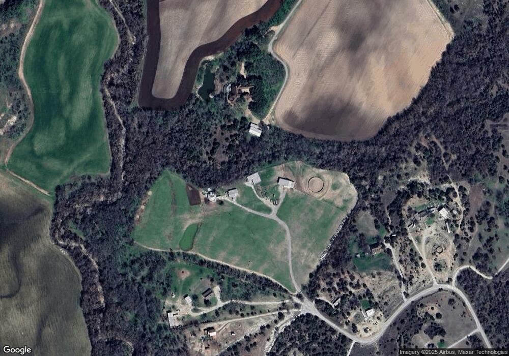
Map
Nearby Homes
- 103 Patrick Creek Rd
- 000 Dennis Rd
- 205 Pinnacle Peak Ln
- 1051 Kingsley Ct
- TBA Old Brock Rd
- 400 Timber Wild Dr
- 197 Pinnacle Peak Ln
- 150 Top Flight Dr
- 313 Canyon Creek Cir
- 393 Canyon Creek Cir
- 162 Pinnacle Peak Ln
- 1060 Kessler Rd
- 121 Dan Russell Bend
- 113 Laser Ln
- 304 Red Roan Ridge
- 805 Purselley Pass
- 801 Purselley Pass
- 873 Canyon Creek Ln
- 123 Club House Dr
- 2042 Verona Dr
- 609 Patrick Creek Rd
- 6001 Old Brock Rd
- 605 Patrick Creek Rd
- 8101 Old Brock Rd
- 8105 Old Brock Rd
- 380 Patrick Creek Rd
- 464 Patrick Creek Rd
- 8111 Old Brock Rd
- 368 Patrick Creek Rd
- 601 Patrick Creek Rd
- 5999 Old Brock Rd
- Lot 2 Patrick Creek Rd
- Lot 1 Patrick Creek Rd
- 339 Country Place Rd
- 339 Country Place Rd Unit ROAD
- 300 Patrick Creek Rd Unit ROAD
- 300 Patrick Creek Rd
- 201 Patrick Creek Rd
- 5985 Old Brock Rd
- 6200 Old Brock Rd