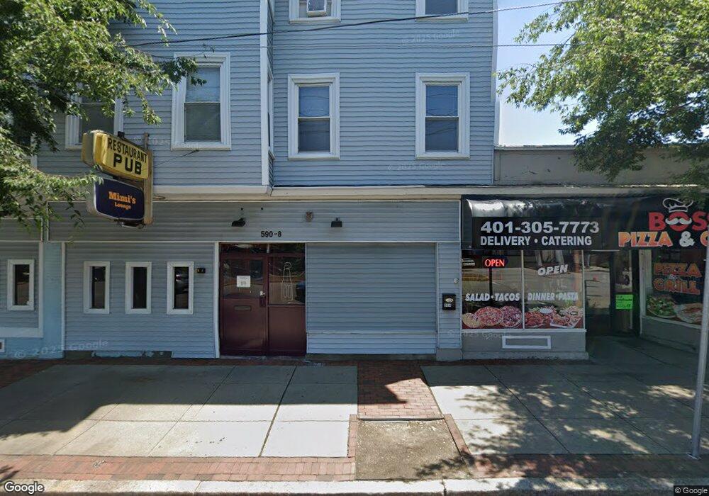
590 Pawtucket Ave Pawtucket, RI 02860
Oak Hill NeighborhoodEstimated Value: $758,632
4
Beds
4
Baths
5,908
Sq Ft
$128/Sq Ft
Est. Value
About This Home
This home is located at 590 Pawtucket Ave, Pawtucket, RI 02860 and is currently estimated at $758,632, approximately $128 per square foot. 590 Pawtucket Ave is a home located in Providence County with nearby schools including International Charter School, Blackstone Academy Charter School, and Jewish Community Day School Of Rhode Island.
Ownership History
Date
Name
Owned For
Owner Type
Purchase Details
Closed on
Jan 10, 2024
Sold by
Dernikos Elias Est and Dernikos
Bought by
Kkc Investment Llc
Current Estimated Value
Purchase Details
Closed on
Oct 25, 1993
Sold by
Melzer Delores
Bought by
Dernikos Elias
Home Financials for this Owner
Home Financials are based on the most recent Mortgage that was taken out on this home.
Original Mortgage
$30,000
Interest Rate
6.73%
Mortgage Type
Commercial
Create a Home Valuation Report for This Property
The Home Valuation Report is an in-depth analysis detailing your home's value as well as a comparison with similar homes in the area
Home Values in the Area
Average Home Value in this Area
Purchase History
| Date | Buyer | Sale Price | Title Company |
|---|---|---|---|
| Kkc Investment Llc | $630,000 | None Available | |
| Kkc Investment Llc | $630,000 | None Available | |
| Dernikos Elias | $185,000 | -- | |
| Dernikos Elias | $185,000 | -- |
Source: Public Records
Mortgage History
| Date | Status | Borrower | Loan Amount |
|---|---|---|---|
| Previous Owner | Dernikos Elias | $30,000 |
Source: Public Records
Tax History Compared to Growth
Tax History
| Year | Tax Paid | Tax Assessment Tax Assessment Total Assessment is a certain percentage of the fair market value that is determined by local assessors to be the total taxable value of land and additions on the property. | Land | Improvement |
|---|---|---|---|---|
| 2025 | $7,484 | $569,100 | $160,200 | $408,900 |
| 2024 | -- | $569,100 | $160,200 | $408,900 |
| 2023 | $0 | $430,700 | $133,500 | $297,200 |
| 2022 | $0 | $430,700 | $133,500 | $297,200 |
| 2021 | $0 | $430,700 | $133,500 | $297,200 |
| 2020 | $0 | $391,300 | $133,500 | $257,800 |
| 2019 | $10,512 | $391,300 | $133,500 | $257,800 |
| 2018 | $0 | $391,300 | $133,500 | $257,800 |
| 2017 | $0 | $402,300 | $146,300 | $256,000 |
| 2016 | -- | $402,300 | $146,300 | $256,000 |
| 2015 | -- | $402,300 | $146,300 | $256,000 |
| 2014 | -- | $449,600 | $159,100 | $290,500 |
Source: Public Records
Map
Nearby Homes
- 594 Pawtucket Ave
- 318 Lafayette St
- 320 Lafayette St Unit 2
- 320 Lafayette St Unit 3
- 320 Lafayette St
- 600 Pawtucket Ave
- 612 Pawtucket Ave
- 10 Hillside Ave Unit B
- 12 Hillside Ave
- 610 Pawtucket Ave
- 610 Pawtucket Ave Unit 3
- 8 Hill Ave
- 16 Hillside Ave
- 16 Hillside Ave
- 303 Lafayette St
- 589 Pawtucket Ave
- 5 Hillside Ave
- 5 Hillside Ave Unit 4
- 15 Hillside Ave
- 26 Hillside Ave