590 Pear St Harrisonburg, VA 22801
Estimated Value: $1,304,000
--
Bed
--
Bath
--
Sq Ft
15.01
Acres
About This Home
This home is located at 590 Pear St, Harrisonburg, VA 22801 and is currently estimated at $1,304,000. 590 Pear St is a home located in Harrisonburg City with nearby schools including Bluestone Elementary, Thomas Harrison Middle School, and Harrisonburg High School.
Ownership History
Date
Name
Owned For
Owner Type
Purchase Details
Closed on
Sep 3, 2024
Sold by
James F Hoak Family Trust and Hoak Dolores H
Bought by
Dolores H Hoak Revocable Declaration Of Trust and Hoak
Current Estimated Value
Purchase Details
Closed on
Jul 20, 2016
Sold by
Hoak James F and Hoak Dolores H
Bought by
Hoak Dolores H and James F Hook Family Trust
Purchase Details
Closed on
Mar 3, 2016
Sold by
Hoak James F and Hoak Dolores Ann H
Bought by
Hoak James F
Purchase Details
Closed on
Jun 5, 2008
Sold by
Hoak James F and Hoak Dolores Ann H
Bought by
City Of Harrisonburg
Create a Home Valuation Report for This Property
The Home Valuation Report is an in-depth analysis detailing your home's value as well as a comparison with similar homes in the area
Home Values in the Area
Average Home Value in this Area
Purchase History
| Date | Buyer | Sale Price | Title Company |
|---|---|---|---|
| Dolores H Hoak Revocable Declaration Of Trust | -- | None Listed On Document | |
| Dolores H Hoak Revocable Declaration Of Trust | -- | None Listed On Document | |
| Hoak Dolores H | -- | None Available | |
| Hoak James F | -- | None Available | |
| City Of Harrisonburg | -- | None Available |
Source: Public Records
Tax History Compared to Growth
Tax History
| Year | Tax Paid | Tax Assessment Tax Assessment Total Assessment is a certain percentage of the fair market value that is determined by local assessors to be the total taxable value of land and additions on the property. | Land | Improvement |
|---|---|---|---|---|
| 2025 | $11,673 | $1,155,700 | $1,155,700 | $0 |
| 2024 | $11,673 | $1,155,700 | $1,155,700 | $0 |
| 2023 | $0 | $1,155,700 | $1,155,700 | $0 |
| 2022 | $0 | $1,050,600 | $1,050,600 | $0 |
| 2021 | $9,455 | $1,050,600 | $1,050,600 | $0 |
| 2020 | $9,035 | $1,050,600 | $1,050,600 | $0 |
| 2019 | $9,035 | $1,050,600 | $1,050,600 | $0 |
| 2018 | $6,484 | $1,050,600 | $1,050,600 | $0 |
| 2017 | $6,484 | $1,050,600 | $1,050,600 | $0 |
| 2016 | $6,484 | $1,050,600 | $1,050,600 | $0 |
| 2015 | $6,484 | $900,500 | $900,500 | $0 |
| 2014 | -- | $900,500 | $900,500 | $0 |
Source: Public Records
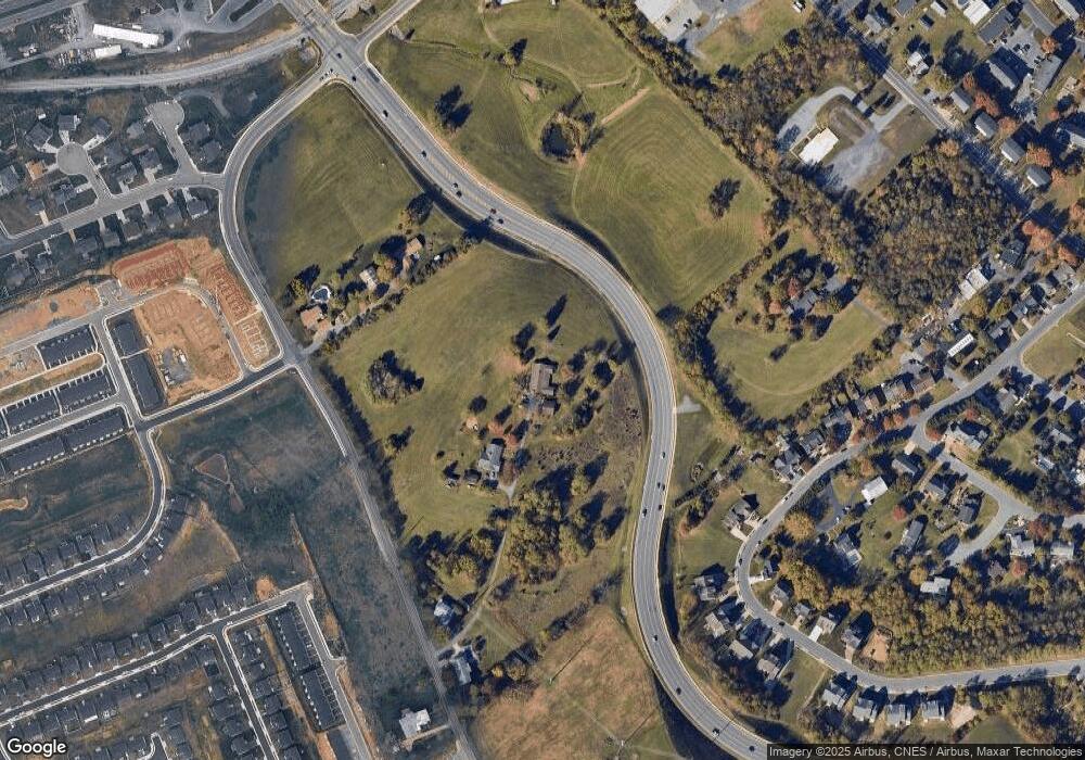
Map
Nearby Homes
- 2020 Shoeshine Ave
- 550 Grommet Dr
- 2102 Willow Hill Dr
- 2112 Willow Hill Dr
- 745 Wingtip Way
- 2105 Willow Hill Dr
- 2122 Willow Hill Dr
- 2132 Willow Hill Dr
- 1739 Kingston Ct
- 210 W Mosby Rd
- 2414 Millwood Loop Unit 15
- 521 Hickory Grove Cir
- 52 South Ave Unit G
- 44 South Ave Unit G
- 1435 Bluestone St
- 1450 Bluestone St
- 100 Monument Ave
- 21 Port Republic Rd
- 33 Port Republic Rd
- 146 Maryland Ave