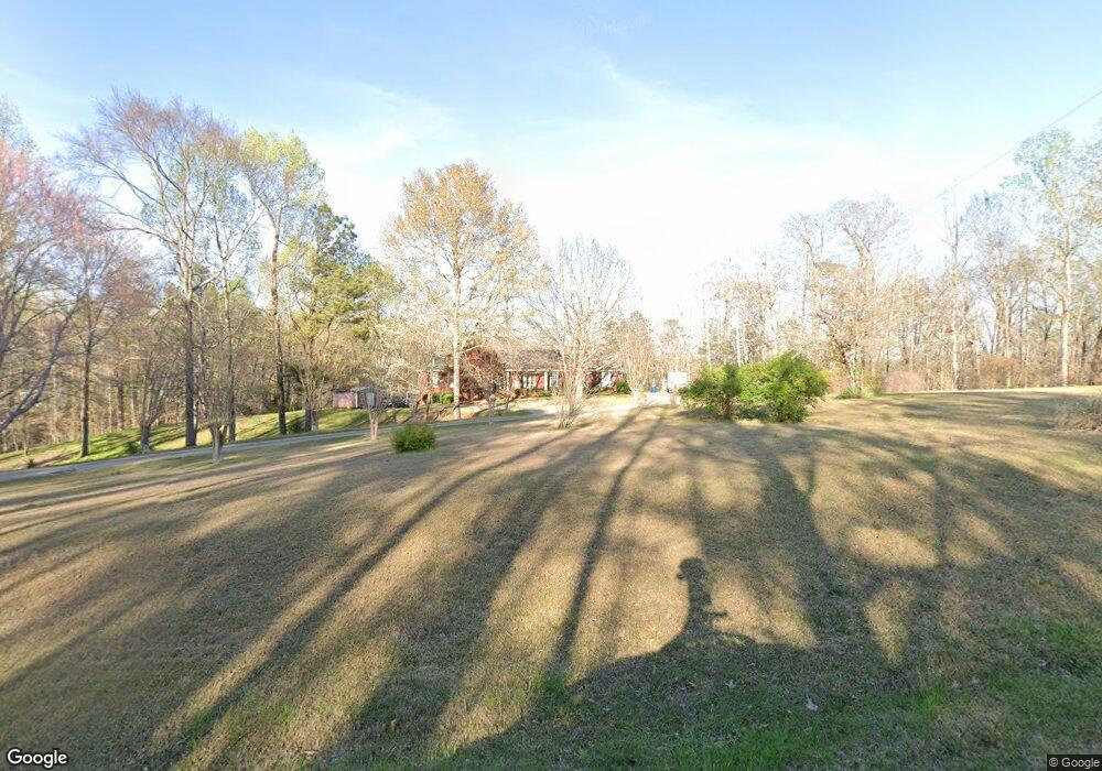
590 Reid Dr Trafford, AL 35172
Estimated Value: $285,000 - $412,000
--
Bed
--
Bath
2,212
Sq Ft
$158/Sq Ft
Est. Value
About This Home
This home is located at 590 Reid Dr, Trafford, AL 35172 and is currently estimated at $348,524, approximately $157 per square foot. 590 Reid Dr is a home located in Blount County with nearby schools including Locust Fork Elementary School and Locust Fork High School.
Ownership History
Date
Name
Owned For
Owner Type
Purchase Details
Closed on
Aug 4, 2025
Sold by
Madison Ellen L
Bought by
Madison Ellen L and Cain Michelle L
Current Estimated Value
Purchase Details
Closed on
Feb 15, 2018
Bought by
Madison Henry L and Madison Ellen L
Home Financials for this Owner
Home Financials are based on the most recent Mortgage that was taken out on this home.
Original Mortgage
$70,000
Interest Rate
4.38%
Create a Home Valuation Report for This Property
The Home Valuation Report is an in-depth analysis detailing your home's value as well as a comparison with similar homes in the area
Home Values in the Area
Average Home Value in this Area
Purchase History
| Date | Buyer | Sale Price | Title Company |
|---|---|---|---|
| Madison Ellen L | $374,280 | None Listed On Document | |
| Madison Henry L | -- | -- |
Source: Public Records
Mortgage History
| Date | Status | Borrower | Loan Amount |
|---|---|---|---|
| Previous Owner | Madison Henry L | $70,000 | |
| Previous Owner | Madison Henry L | -- |
Source: Public Records
Tax History Compared to Growth
Tax History
| Year | Tax Paid | Tax Assessment Tax Assessment Total Assessment is a certain percentage of the fair market value that is determined by local assessors to be the total taxable value of land and additions on the property. | Land | Improvement |
|---|---|---|---|---|
| 2024 | $800 | $34,420 | $3,000 | $31,420 |
| 2023 | $800 | $32,000 | $3,000 | $29,000 |
| 2022 | $653 | $26,360 | $2,000 | $24,360 |
| 2021 | $544 | $22,160 | $2,100 | $20,060 |
| 2020 | $551 | $19,440 | $2,000 | $17,440 |
| 2019 | $505 | $19,440 | $2,000 | $17,440 |
| 2018 | $516 | $19,840 | $2,000 | $17,840 |
| 2017 | $409 | $20,720 | $0 | $0 |
| 2015 | $415 | $20,740 | $0 | $0 |
| 2014 | $577 | $20,740 | $0 | $0 |
| 2013 | -- | $23,280 | $0 | $0 |
Source: Public Records
Map
Nearby Homes
- 25465 Alabama 79
- 25335 Alabama 79
- 25335 State Highway 79
- 312 Lehigh Rd
- 388 Tawbush Rd
- 496 Tawbush Rd
- 63 Avery Hancock Dr
- 95 Wortham Rd
- 60 Wortham Rd
- 87 Youngblood Ln
- 148 Willow Ln
- 11 Mccay Rd
- 61 Cedar Cir
- 55 Honeycutt Rd Unit 55
- 775 Mountain Dr
- 587 Mountain Dr
- 0 Center Hill Rd
- 89 Pine Tree Dr
- 881-699 Mountain Dr
- 4540 Spunky Hollow Rd
- 694 Reid Dr
- 591 Reid Dr
- 427 Reid Dr
- 10 Jennifer Dr
- 25585 State Highway 79
- 25585 State Highway 79
- 71 Daniel Dr
- 22 Jennifer Dr
- 107 Daniel Dr
- 98 Daniel Dr
- 25465 State Highway 79
- 86 Jennifer Dr
- 88 Jennifer Dr
- 92 Jennifer Dr
- 254 Reid Dr
- 25564 State Highway 79
- 25869 Alabama 79
- 2 Reid Rd
- 000 Reid Rd Unit book 0410 Pg 107
- 0 Reid Rd Unit 16 797113