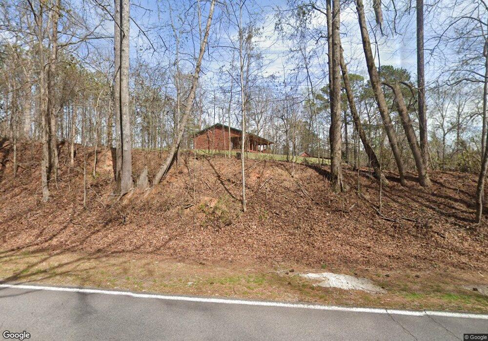
590 Rock Mills Rd Lagrange, GA 30240
Estimated Value: $177,000 - $261,000
3
Beds
2
Baths
1,248
Sq Ft
$186/Sq Ft
Est. Value
About This Home
This home is located at 590 Rock Mills Rd, Lagrange, GA 30240 and is currently estimated at $231,695, approximately $185 per square foot. 590 Rock Mills Rd is a home located in Troup County with nearby schools including Ethel W. Kight Elementary School, Hollis Hand Elementary School, and Franklin Forest Elementary School.
Ownership History
Date
Name
Owned For
Owner Type
Purchase Details
Closed on
Apr 20, 2000
Sold by
Brad Norris
Bought by
Calhoun Travis L
Current Estimated Value
Purchase Details
Closed on
Nov 21, 1994
Sold by
George Yates
Bought by
Brad Norris
Purchase Details
Closed on
Aug 5, 1993
Sold by
Donald S Owens Et Al
Bought by
George Yates
Purchase Details
Closed on
Aug 7, 1987
Bought by
Donald S Owens Et Al
Create a Home Valuation Report for This Property
The Home Valuation Report is an in-depth analysis detailing your home's value as well as a comparison with similar homes in the area
Purchase History
| Date | Buyer | Sale Price | Title Company |
|---|---|---|---|
| Calhoun Travis L | $28,000 | -- | |
| Brad Norris | $14,500 | -- | |
| George Yates | $11,000 | -- | |
| Donald S Owens Et Al | $8,700 | -- | |
| Donald S Owens Et Al | $8,700 | -- |
Source: Public Records
Tax History
| Year | Tax Paid | Tax Assessment Tax Assessment Total Assessment is a certain percentage of the fair market value that is determined by local assessors to be the total taxable value of land and additions on the property. | Land | Improvement |
|---|---|---|---|---|
| 2025 | $1,708 | $83,960 | $19,720 | $64,240 |
| 2024 | $1,708 | $72,560 | $19,720 | $52,840 |
| 2023 | $1,565 | $67,320 | $19,720 | $47,600 |
| 2022 | $1,511 | $64,080 | $19,720 | $44,360 |
| 2021 | $1,705 | $58,520 | $16,320 | $42,200 |
| 2020 | $1,705 | $58,520 | $16,320 | $42,200 |
| 2019 | $1,436 | $49,600 | $16,320 | $33,280 |
| 2018 | $1,345 | $46,600 | $16,320 | $30,280 |
| 2017 | $1,346 | $46,600 | $16,320 | $30,280 |
| 2016 | $1,324 | $45,889 | $16,344 | $29,545 |
| 2015 | $1,327 | $45,889 | $16,344 | $29,545 |
| 2014 | $1,282 | $44,334 | $16,344 | $27,990 |
| 2013 | -- | $46,025 | $16,344 | $29,681 |
Source: Public Records
Map
Nearby Homes
- 163 Terri Rd
- 511 Williams Rd
- 15 Williams Ct
- 0 Leisure Cove Dr Unit 10619411
- 205 Long Cove Dr
- 177 Abbottsford Rd
- 108 Stonebridge Ln
- 42 Deer Pointe Ct
- 226 Linda Ln
- 104 Dogwood Point
- 213 Linda Ln
- 4004 White Oak Ln
- 132 Lakeland Dr
- 130 Lakeland Dr
- 709 Vernon Ferry Rd
- 201 Lakeview Ct
- 109 Riverbluff Dr
- 114 Riverbluff Dr
- 101 Riverbluff Dr
- 106 Landings Way
- 647 Rock Mills Rd
- 685 Rock Mills Rd
- 670 Rock Mills Rd
- 696 Rock Mills Rd
- 564 Rock Mills Rd
- 740 Rock Mills Rd
- 567 Rock Mills Rd
- 775 Rock Mills Rd
- 768 Rock Mills Rd
- 618 Williams Rd
- 44 S Whatley Rd
- 96 Old School Rd
- 441 Rock Mills Rd
- 72 S Whatley Rd
- 157 Old School Rd
- 144 Old School Rd
- 60 Holliday Rd
- 396 Rock Mills Rd
- 15 Terri Rd
- 21 Terri Rd