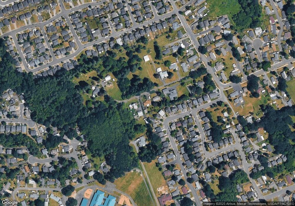
590 Seal Rd Saint Helens, OR 97051
Estimated Value: $396,000 - $458,000
3
Beds
1
Bath
1,482
Sq Ft
$293/Sq Ft
Est. Value
About This Home
This home is located at 590 Seal Rd, Saint Helens, OR 97051 and is currently estimated at $433,892, approximately $292 per square foot. 590 Seal Rd is a home located in Columbia County with nearby schools including St. Helens High School and St. Helens Arthur Academy.
Ownership History
Date
Name
Owned For
Owner Type
Purchase Details
Closed on
Feb 16, 2017
Sold by
White Susan and Swanson Susan
Bought by
Pelletier Julie L and Pelletier Larry L
Current Estimated Value
Home Financials for this Owner
Home Financials are based on the most recent Mortgage that was taken out on this home.
Original Mortgage
$250,381
Outstanding Balance
$207,305
Interest Rate
4.2%
Mortgage Type
FHA
Estimated Equity
$226,587
Create a Home Valuation Report for This Property
The Home Valuation Report is an in-depth analysis detailing your home's value as well as a comparison with similar homes in the area
Home Values in the Area
Average Home Value in this Area
Purchase History
| Date | Buyer | Sale Price | Title Company |
|---|---|---|---|
| Pelletier Julie L | $255,000 | Ticor Title Company Of Or |
Source: Public Records
Mortgage History
| Date | Status | Borrower | Loan Amount |
|---|---|---|---|
| Open | Pelletier Julie L | $250,381 |
Source: Public Records
Tax History Compared to Growth
Tax History
| Year | Tax Paid | Tax Assessment Tax Assessment Total Assessment is a certain percentage of the fair market value that is determined by local assessors to be the total taxable value of land and additions on the property. | Land | Improvement |
|---|---|---|---|---|
| 2024 | $3,864 | $241,230 | $102,070 | $139,160 |
| 2023 | $3,806 | $234,210 | $92,240 | $141,970 |
| 2022 | $3,650 | $227,390 | $89,500 | $137,890 |
| 2021 | $3,333 | $220,770 | $88,430 | $132,340 |
| 2020 | $3,222 | $214,340 | $79,670 | $134,670 |
| 2019 | $3,171 | $208,100 | $76,080 | $132,020 |
| 2018 | $3,073 | $202,040 | $89,030 | $113,010 |
| 2017 | $2,987 | $196,160 | $86,440 | $109,720 |
| 2016 | $2,943 | $190,450 | $80,060 | $110,390 |
| 2015 | $2,321 | $178,890 | $74,580 | $104,310 |
| 2014 | $2,457 | $184,910 | $68,890 | $116,020 |
Source: Public Records
Map
Nearby Homes
- 0 Seal Ln Unit 24455005
- 103 Oakwood Dr
- 59284 Cherrywood Dr
- 35130 Roberts Ln
- 35218 Sykes Rd
- 59227 Westshire Ln
- 35505 Iris Way
- 221 Allendale Dr
- 169 N Vernonia Rd
- 251 Allendale Dr
- 59893 Ethan Ln
- 169 Macarthur St
- 34937 Burt Rd
- 35092 Pittsburg Rd
- 255 Macarthur St
- 59174 Whitetail Ave
- 59720 Oliver Heights Ln
- 59941 Windy Ridge Dr
- 2535 Gable Rd
- 34948 Sykes Rd
- 580 Seal Rd
- 600 Seal Rd
- 35509 Edies Way
- 59461 Cherrywood Dr
- 35519 Edies Way
- 30049 Edie's Way
- 59451 Cherrywood Dr
- 35529 Edies Way
- 35539 Edies Way
- 59441 Cherrywood Dr
- 325 N Vernonia Rd
- 35549 Edies Way
- 59431 Cherrywood Dr
- 555 Seal Rd
- 35520 Edies Way
- 35559 Edies Way
- 852 Tice Rd
- 854 Tice Rd
- 59421 Cherrywood Dr
- 35540 Edies Way
