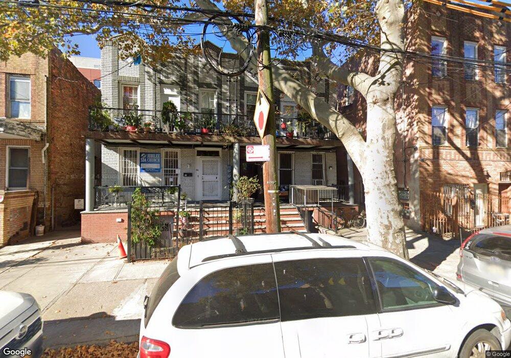
590 Snediker Ave Brooklyn, NY 11207
Brownsville NeighborhoodEstimated Value: $886,000 - $1,016,000
--
Bed
--
Bath
2,160
Sq Ft
$448/Sq Ft
Est. Value
About This Home
This home is located at 590 Snediker Ave, Brooklyn, NY 11207 and is currently estimated at $966,955, approximately $447 per square foot. 590 Snediker Ave is a home located in Kings County with nearby schools including P.S. 190 - Sheffield, Achievement First - East New York School, and Hyde Leadership Charter School-Brooklyn.
Ownership History
Date
Name
Owned For
Owner Type
Purchase Details
Closed on
May 7, 2009
Sold by
209 Lexington Corp
Bought by
Carr Marcia Hamilton and Carr Nikita
Current Estimated Value
Home Financials for this Owner
Home Financials are based on the most recent Mortgage that was taken out on this home.
Original Mortgage
$521,382
Outstanding Balance
$329,776
Interest Rate
4.87%
Mortgage Type
Purchase Money Mortgage
Estimated Equity
$637,179
Purchase Details
Closed on
Aug 25, 2008
Sold by
Ljmk Properties Ltd
Bought by
209 Lexington Corp
Create a Home Valuation Report for This Property
The Home Valuation Report is an in-depth analysis detailing your home's value as well as a comparison with similar homes in the area
Home Values in the Area
Average Home Value in this Area
Purchase History
| Date | Buyer | Sale Price | Title Company |
|---|---|---|---|
| Carr Marcia Hamilton | $531,000 | -- | |
| 209 Lexington Corp | $255,000 | -- |
Source: Public Records
Mortgage History
| Date | Status | Borrower | Loan Amount |
|---|---|---|---|
| Open | Carr Marcia Hamilton | $521,382 |
Source: Public Records
Tax History Compared to Growth
Tax History
| Year | Tax Paid | Tax Assessment Tax Assessment Total Assessment is a certain percentage of the fair market value that is determined by local assessors to be the total taxable value of land and additions on the property. | Land | Improvement |
|---|---|---|---|---|
| 2025 | $1,389 | $49,500 | $6,480 | $43,020 |
| 2024 | $1,389 | $58,200 | $6,480 | $51,720 |
| 2023 | $1,339 | $58,860 | $6,480 | $52,380 |
| 2022 | $1,251 | $48,180 | $6,480 | $41,700 |
| 2021 | $1,259 | $37,680 | $6,480 | $31,200 |
| 2020 | $624 | $42,240 | $6,480 | $35,760 |
| 2019 | $1,205 | $35,880 | $6,480 | $29,400 |
| 2018 | $1,120 | $5,494 | $767 | $4,727 |
| 2017 | $1,065 | $5,224 | $969 | $4,255 |
| 2016 | $997 | $4,987 | $917 | $4,070 |
| 2015 | $594 | $4,972 | $994 | $3,978 |
| 2014 | $594 | $4,802 | $1,051 | $3,751 |
Source: Public Records
Map
Nearby Homes
- 584 Hinsdale St
- 442 Newport St
- 589 Hinsdale St
- 650 Williams Ave
- 660 Williams Ave Unit 142
- 563 Powell St
- 541 Hinsdale St
- 533 Snediker Ave
- 582 Williams Ave
- 578 Williams Ave
- 576 Williams Ave
- 1753 Linden Blvd
- 1755 Linden Blvd
- 610 Alabama Ave
- 606 Alabama Ave
- 546 Powell St
- 699 Sackman St
- 555 Christopher Ave
- 1825 Linden Blvd
- 797 Mother Gaston Blvd
- 586 Snediker Ave
- 584 Snediker Ave
- 592 Snediker Ave
- 596 Snediker Ave
- 424 Newport St
- 428 Newport St
- 428 Newport St Unit 28
- 422 Newport St
- 598 Snediker Ave
- 430 Newport St
- 418 Newport St
- 649 van Sinderen Ave
- 600 Snediker Ave
- 416 Newport St
- 412 Newport St
- 602 Snediker Ave
- 606 Snediker Ave
- 581 Snediker Ave
- 585 Snediker Ave
- 583 Snediker Ave