Estimated Value: $104,641 - $297,000
--
Bed
--
Bath
--
Sq Ft
5.9
Acres
About This Home
This home is located at 590 W Circle Dr, Vidor, TX 77662 and is currently estimated at $192,160. 590 W Circle Dr is a home located in Orange County.
Ownership History
Date
Name
Owned For
Owner Type
Purchase Details
Closed on
Aug 7, 2019
Sold by
Callahan John C and Callahan Sarah N
Bought by
Isenhower Richard Alan and Isenhower Patsy
Current Estimated Value
Purchase Details
Closed on
Mar 26, 2014
Sold by
Miller Richard Weatherly and Miller Charla
Bought by
Callahan John and Callahan Sarah
Home Financials for this Owner
Home Financials are based on the most recent Mortgage that was taken out on this home.
Original Mortgage
$35,460
Interest Rate
4.32%
Mortgage Type
New Conventional
Purchase Details
Closed on
Sep 27, 2010
Sold by
Wilkerson Ella Mae and Wilkerson Lavoy
Bought by
Miller Richard Weatherly
Home Financials for this Owner
Home Financials are based on the most recent Mortgage that was taken out on this home.
Original Mortgage
$59,500
Interest Rate
4.48%
Mortgage Type
New Conventional
Purchase Details
Closed on
Dec 28, 2007
Sold by
Wilkerson Ella Mae and Wilkerson Lavoy
Bought by
Wilkerson Lavoy
Create a Home Valuation Report for This Property
The Home Valuation Report is an in-depth analysis detailing your home's value as well as a comparison with similar homes in the area
Home Values in the Area
Average Home Value in this Area
Purchase History
| Date | Buyer | Sale Price | Title Company |
|---|---|---|---|
| Isenhower Richard Alan | -- | None Available | |
| Callahan John | -- | Stc | |
| Miller Richard Weatherly | -- | Satc | |
| Callahan John C | -- | -- | |
| Wilkerson Lavoy | -- | Mrs Courtney Burch Arkeen | |
| Callahan John C | -- | -- |
Source: Public Records
Mortgage History
| Date | Status | Borrower | Loan Amount |
|---|---|---|---|
| Previous Owner | Callahan John | $35,460 | |
| Previous Owner | Callahan John C | $59,500 |
Source: Public Records
Tax History Compared to Growth
Tax History
| Year | Tax Paid | Tax Assessment Tax Assessment Total Assessment is a certain percentage of the fair market value that is determined by local assessors to be the total taxable value of land and additions on the property. | Land | Improvement |
|---|---|---|---|---|
| 2025 | $103 | $6,633 | $850 | $5,783 |
| 2024 | $101 | $6,526 | $743 | $5,783 |
| 2023 | $101 | $6,473 | $690 | $5,783 |
| 2022 | $83 | $4,679 | $696 | $3,983 |
| 2021 | $716 | $38,483 | $34,500 | $3,983 |
| 2020 | $726 | $37,893 | $34,500 | $3,393 |
| 2019 | $721 | $37,322 | $34,500 | $2,822 |
| 2018 | $737 | $37,192 | $34,500 | $2,692 |
| 2017 | $737 | $37,192 | $34,500 | $2,692 |
| 2016 | $706 | $37,000 | $34,500 | $2,500 |
| 2015 | $1,174 | $34,600 | $34,500 | $100 |
| 2014 | $1,174 | $59,558 | $59,558 | $0 |
Source: Public Records
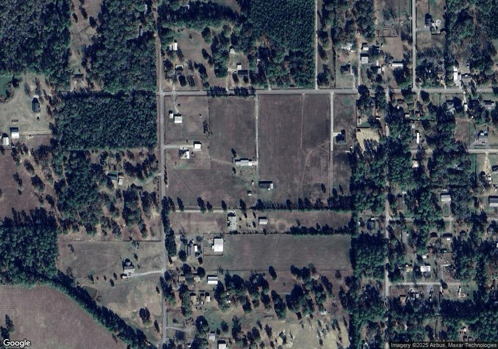
Map
Nearby Homes
- Lot 14 Ironwood Dr
- 197 Decker Rd
- 145 Bellard Rd
- 5855 Tyler St
- 395 Willette Rd Unit 400 Willette
- 5200 Farm To Market 105
- 5820 Jefferson St
- N/A Oldbury Rd
- 0 Oldbury Rd
- 1330 Hwy 1311
- 280 Pug Rd Unit 295 Pug
- 1330 Highway 1131
- 140 Princeton St
- 397 Stephenson Rd
- 185 Brookhollow St
- 380 Croom
- TBD Settlement Way
- 422 Texla Rd
- 3930 Carter Rd
- 4030 Barnhill Rd Unit TRACT II (East Side)
- 590 W Circle Dr
- 845 W Circle Dr
- 855 W Circle Dr
- 801 W Circle Dr
- 445 W Circle Dr
- 643 W Circle Dr
- 5695 Wayside Dr
- 550 W Circle Dr
- 865 W Circle Dr
- 830 W Circle Dr
- 500 W Circle Dr
- 500 W Circle Dr
- 5710 Wayside Dr
- 885 W Circle Dr
- 690 W Circle Dr
- 5700 Wayside Dr
- 450 W Circle Dr
- 860 W Circle Dr
- 5615 Wayside Dr
- 5685 Wayside Dr