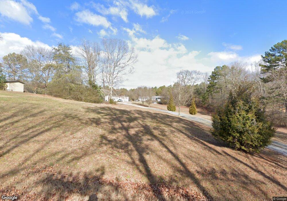
590 Woody Rd SW Adairsville, GA 30103
Estimated Value: $286,000 - $343,000
3
Beds
2
Baths
1,420
Sq Ft
$226/Sq Ft
Est. Value
About This Home
This home is located at 590 Woody Rd SW, Adairsville, GA 30103 and is currently estimated at $320,677, approximately $225 per square foot. 590 Woody Rd SW is a home located in Gordon County with nearby schools including Swain Elementary School, Ashworth Middle School, and Gordon Central High School.
Ownership History
Date
Name
Owned For
Owner Type
Purchase Details
Closed on
Feb 16, 2011
Sold by
Hsbc Bank Usa Na
Bought by
Jones Patricia
Current Estimated Value
Purchase Details
Closed on
Jul 6, 2010
Sold by
Curtis Deloise Randolph and Curtis Rodney
Bought by
Hsbc Bank Usa National Association
Purchase Details
Closed on
Aug 29, 1997
Bought by
Curtis Deloise Randolph
Create a Home Valuation Report for This Property
The Home Valuation Report is an in-depth analysis detailing your home's value as well as a comparison with similar homes in the area
Home Values in the Area
Average Home Value in this Area
Purchase History
| Date | Buyer | Sale Price | Title Company |
|---|---|---|---|
| Jones Patricia | $34,000 | -- | |
| Hsbc Bank Usa National Association | $75,000 | -- | |
| Curtis Deloise Randolph | -- | -- |
Source: Public Records
Tax History Compared to Growth
Tax History
| Year | Tax Paid | Tax Assessment Tax Assessment Total Assessment is a certain percentage of the fair market value that is determined by local assessors to be the total taxable value of land and additions on the property. | Land | Improvement |
|---|---|---|---|---|
| 2024 | $1,891 | $76,440 | $18,160 | $58,280 |
| 2023 | $1,559 | $61,360 | $18,160 | $43,200 |
| 2022 | $1,576 | $58,320 | $18,160 | $40,160 |
| 2021 | $1,384 | $49,400 | $18,160 | $31,240 |
| 2020 | $1,404 | $49,000 | $18,160 | $30,840 |
| 2019 | $1,411 | $49,000 | $18,160 | $30,840 |
| 2018 | $1,335 | $46,360 | $18,160 | $28,200 |
| 2017 | $1,323 | $44,640 | $18,160 | $26,480 |
| 2016 | $1,326 | $44,640 | $18,160 | $26,480 |
| 2015 | $1,322 | $44,080 | $18,160 | $25,920 |
| 2014 | $1,261 | $43,304 | $18,194 | $25,110 |
Source: Public Records
Map
Nearby Homes
- 315 Woody Rd NW
- 178 Harbor Trail
- 51 Robin Rd
- 0 Woody Rd NW Unit 10634615
- Woodridge Plan at The Landing at Miller’s Ferry
- Kensington Plan at The Landing at Miller’s Ferry
- Northwyck Plan at The Landing at Miller’s Ferry
- Richmond Plan at The Landing at Miller’s Ferry
- Brookhaven Plan at The Landing at Miller’s Ferry
- Newport I Plan at The Landing at Miller’s Ferry
- Wesley Plan at The Landing at Miller’s Ferry
- Newport II Plan at The Landing at Miller’s Ferry
- Richardson Plan at The Landing at Miller’s Ferry
- Dewhurst Plan at The Landing at Miller’s Ferry
- 269 Riverboat Dr
- 238 Lighthouse Cove SW
- 58 Thacker Trail
- 172 Graham Cir
- 166 Graham Cir
- 365 Riverboat Dr
- 595 Woody Rd SW
- 522 Woody Rd SW
- 636 Woody Rd SW
- 659 Woody Rd SW
- 453 Leek Rd SW
- 525 Leek Rd SW
- 581 Leek Rd SW
- 681 Woody Rd SW
- 661 Woody Rd SW
- 554 Leek Rd SW
- 572 Leek Rd SW
- 474 Leek Rd SW
- 445 Leek Rd SW
- 107 Bowdoin Ln SW
- 347 Woody Rd NW
- 121 Bowdoin Ln SW
- 379 Leek Rd SW
- 422 Woody Rd SW
- 131 Bowdoin Ln SW
- 106 Bowdoin Ln SW