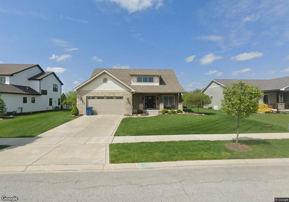
5900 Huron Dr Cedar Lake, IN 46303
Estimated Value: $446,989 - $565,000
3
Beds
3
Baths
2,018
Sq Ft
$253/Sq Ft
Est. Value
About This Home
This home is located at 5900 Huron Dr, Cedar Lake, IN 46303 and is currently estimated at $511,247, approximately $253 per square foot. 5900 Huron Dr is a home with nearby schools including Douglas MacArthur Elementary School, Robert Taft Middle School, and Crown Point High School.
Ownership History
Date
Name
Owned For
Owner Type
Purchase Details
Closed on
Aug 4, 2020
Sold by
Dutko Construciton Inc
Bought by
Mihajlovic Dragan
Current Estimated Value
Home Financials for this Owner
Home Financials are based on the most recent Mortgage that was taken out on this home.
Original Mortgage
$65,000
Outstanding Balance
$57,766
Interest Rate
3.1%
Mortgage Type
New Conventional
Estimated Equity
$453,481
Purchase Details
Closed on
May 17, 2017
Sold by
Cedar Lake 133 Llc
Bought by
Dutko Construction Inc
Create a Home Valuation Report for This Property
The Home Valuation Report is an in-depth analysis detailing your home's value as well as a comparison with similar homes in the area
Home Values in the Area
Average Home Value in this Area
Purchase History
| Date | Buyer | Sale Price | Title Company |
|---|---|---|---|
| Mihajlovic Dragan | -- | Fidelity National Title Co | |
| Dutko Construction Inc | -- | Fidelity National Title Co |
Source: Public Records
Mortgage History
| Date | Status | Borrower | Loan Amount |
|---|---|---|---|
| Open | Mihajlovic Dragan | $65,000 |
Source: Public Records
Tax History Compared to Growth
Tax History
| Year | Tax Paid | Tax Assessment Tax Assessment Total Assessment is a certain percentage of the fair market value that is determined by local assessors to be the total taxable value of land and additions on the property. | Land | Improvement |
|---|---|---|---|---|
| 2024 | $11,019 | $435,400 | $60,000 | $375,400 |
| 2023 | $4,242 | $396,000 | $60,000 | $336,000 |
| 2022 | $4,242 | $379,200 | $60,000 | $319,200 |
| 2021 | $4,408 | $393,800 | $73,300 | $320,500 |
| 2020 | $3,825 | $342,500 | $58,000 | $284,500 |
| 2019 | $4,347 | $315,100 | $58,000 | $257,100 |
| 2018 | $3,688 | $304,300 | $58,000 | $246,300 |
Source: Public Records
Map
Nearby Homes
- The Quinn Plan at Lakeside
- The Huntley Plan at Lakeside
- The Cole Plan at Lakeside
- The Asher Plan at Lakeside
- The Dover Plan at Lakeside
- The Lester Plan at Lakeside
- The Kade Plan at Lakeside
- The Nicholas Plan at Lakeside
- 13417 Lakeside Blvd
- The Sadie Plan at Lakeside
- The Shelly Plan at Lakeside
- The Brooks Plan at Lakeside
- The Sawyer Plan at Lakeside
- The Foster Plan at Lakeside
- The Powell II Plan at Lakeside
- The Alverstone Plan at Lakeside
- The Monarch Plan at Lakeside
- The Capital Plan at Lakeside
- The Hayes Plan at Lakeside
- The Bennett Plan at Lakeside
- 5910 Huron Dr
- 5920 Huron Dr
- 11223 Superior Ln
- 5911 Huron Dr
- 13306 Superior Ln
- 13314 Superior Ln
- 5832 Tahoe Place
- 13567 Lakeside Blvd
- 13522 Lakeside Blvd
- 13472 Lakeside Blvd
- 13305 Cardinal Ln
- 13311 Cardinal Ln
- 13317 Cardinal Ln
- 13323 Cardinal Ln
- 13516 Superior Ln
- 13432 Superior Ln
- 13436 Superior Ln
- 13406 Superior Ln
- 5730 Huron Dr
- 5742 Tahoe Place