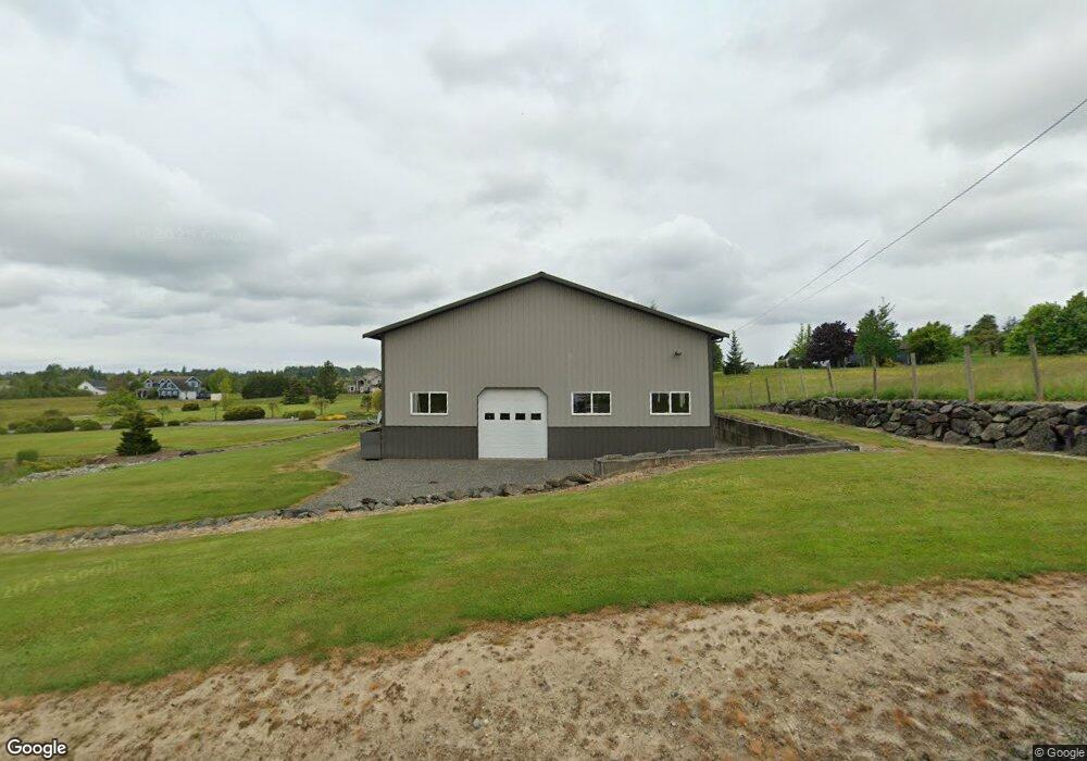
5901 Barr Rd Ferndale, WA 98248
Estimated Value: $851,000 - $1,111,000
4
Beds
3
Baths
2,492
Sq Ft
$402/Sq Ft
Est. Value
About This Home
This home is located at 5901 Barr Rd, Ferndale, WA 98248 and is currently estimated at $1,000,736, approximately $401 per square foot. 5901 Barr Rd is a home located in Whatcom County with nearby schools including Eagleridge Elementary School, Horizon Middle School, and Ferndale High School.
Ownership History
Date
Name
Owned For
Owner Type
Purchase Details
Closed on
Apr 18, 2005
Sold by
Bespalova Nadezhda and Bespalova Anatoliy
Bought by
Martin Alan L and Martin Randi L
Current Estimated Value
Purchase Details
Closed on
Feb 2, 2005
Sold by
Semikin Miklail and Semikin Svetlana
Bought by
Bespalova Anatoliy and Bespalova Nadezhda
Home Financials for this Owner
Home Financials are based on the most recent Mortgage that was taken out on this home.
Original Mortgage
$130,000
Interest Rate
6.55%
Mortgage Type
Purchase Money Mortgage
Create a Home Valuation Report for This Property
The Home Valuation Report is an in-depth analysis detailing your home's value as well as a comparison with similar homes in the area
Purchase History
| Date | Buyer | Sale Price | Title Company |
|---|---|---|---|
| Martin Alan L | $415,000 | Whatcom Land Title | |
| Bespalova Anatoliy | -- | Stewart Title Company |
Source: Public Records
Mortgage History
| Date | Status | Borrower | Loan Amount |
|---|---|---|---|
| Previous Owner | Bespalova Anatoliy | $130,000 |
Source: Public Records
Tax History
| Year | Tax Paid | Tax Assessment Tax Assessment Total Assessment is a certain percentage of the fair market value that is determined by local assessors to be the total taxable value of land and additions on the property. | Land | Improvement |
|---|---|---|---|---|
| 2025 | $8,428 | $1,079,021 | $340,897 | $738,124 |
| 2024 | $7,785 | $1,079,021 | $340,897 | $738,124 |
| 2023 | $7,785 | $1,091,735 | $382,000 | $709,735 |
| 2022 | $6,072 | $827,836 | $276,398 | $551,438 |
| 2021 | $5,607 | $657,006 | $219,361 | $437,645 |
| 2020 | $5,735 | $556,785 | $185,900 | $370,885 |
| 2019 | $4,559 | $515,536 | $172,127 | $343,409 |
| 2018 | $5,368 | $469,593 | $156,788 | $312,805 |
| 2017 | $4,812 | $423,056 | $141,250 | $281,806 |
| 2016 | $4,822 | $405,494 | $137,944 | $267,550 |
| 2015 | $4,662 | $405,494 | $137,944 | $267,550 |
| 2014 | -- | $381,380 | $129,741 | $251,639 |
| 2013 | -- | $373,279 | $126,985 | $246,294 |
Source: Public Records
Map
Nearby Homes
- 6241 Olson Rd
- 2738 Jenjar Ave
- 6041 Brian Ct
- 2630 (Lot 12) Sievers Way
- 5948 (Lot 44) Ranch Loop
- 5946 (Lot 45) Ranch Loop
- 5944 (Lot 46) Ranch Loop
- 5942 (Lot 47) Ranch Loop
- 5963 (Lot 69) Ranch Loop
- 6152 Garrett Ln
- 2988 Unick Rd
- 6069 Captains Way
- 6185 Pacific Heights Dr
- 2646 Lochcarron Dr
- 2511 Crescent St
- 5947 Lot 61 Ranch Loop
- 6002 Ridgeview Place
- 5612 Clearview Dr
- 2396 Hettervig Place
- 3145 Brown Rd
Your Personal Tour Guide
Ask me questions while you tour the home.