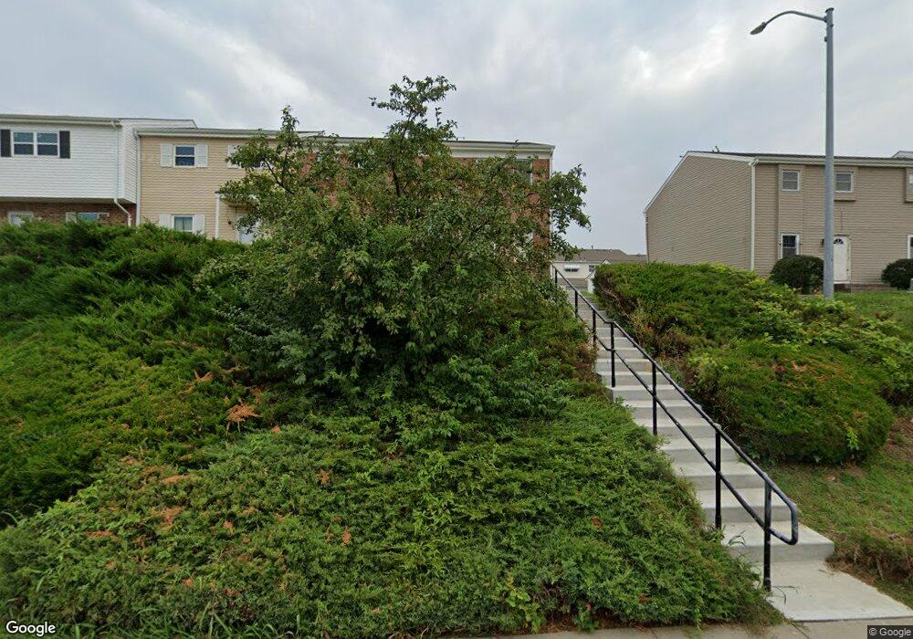
5901 E 127th St Grandview, MO 64030
Estimated Value: $148,000 - $193,000
3
Beds
3
Baths
1,768
Sq Ft
$91/Sq Ft
Est. Value
About This Home
This home is located at 5901 E 127th St, Grandview, MO 64030 and is currently estimated at $160,992, approximately $91 per square foot. 5901 E 127th St is a home located in Jackson County with nearby schools including Conn-West Elementary School, Grandview Middle, and Grandview High School.
Ownership History
Date
Name
Owned For
Owner Type
Purchase Details
Closed on
Feb 27, 1997
Sold by
Desmarteau Donna and Desmarteau Gregory P
Bought by
Atkins Thomas Martin and Atkins Dana Marie
Current Estimated Value
Purchase Details
Closed on
Feb 20, 1997
Sold by
Kieffer Keith Henri and Kieffer Janet Lang
Bought by
Atkins Thomas Martin and Atkins Dana Marie
Purchase Details
Closed on
Feb 12, 1997
Sold by
Kieffer Wayne Harry
Bought by
Atkins Thomas Martin and Atkins Dana Marie
Purchase Details
Closed on
Feb 7, 1997
Sold by
Kieffer George Dwaine and Kieffer Patricia E
Bought by
Atkins Thomas Martin and Atkins Dana Marie
Create a Home Valuation Report for This Property
The Home Valuation Report is an in-depth analysis detailing your home's value as well as a comparison with similar homes in the area
Home Values in the Area
Average Home Value in this Area
Purchase History
| Date | Buyer | Sale Price | Title Company |
|---|---|---|---|
| Atkins Thomas Martin | -- | Stewart Title | |
| Atkins Thomas Martin | -- | -- | |
| Atkins Thomas Martin | -- | Stewart Title | |
| Atkins Thomas Martin | -- | Stewart Title |
Source: Public Records
Tax History Compared to Growth
Tax History
| Year | Tax Paid | Tax Assessment Tax Assessment Total Assessment is a certain percentage of the fair market value that is determined by local assessors to be the total taxable value of land and additions on the property. | Land | Improvement |
|---|---|---|---|---|
| 2025 | $2,582 | $24,624 | $3,205 | $21,419 |
| 2024 | $2,537 | $31,747 | $1,072 | $30,675 |
| 2023 | $2,537 | $31,747 | $1,577 | $30,170 |
| 2022 | $1,599 | $18,620 | $1,406 | $17,214 |
| 2021 | $1,597 | $18,620 | $1,406 | $17,214 |
| 2020 | $1,324 | $16,353 | $1,406 | $14,947 |
| 2019 | $1,277 | $16,353 | $1,406 | $14,947 |
| 2018 | $764 | $9,099 | $1,331 | $7,768 |
| 2017 | $764 | $9,099 | $1,331 | $7,768 |
| 2016 | $760 | $8,871 | $751 | $8,120 |
Source: Public Records
Map
Nearby Homes
- 5956 E 129th St
- 6134 E 127th St
- 12701 Applewood Dr
- 12709 Applewood Dr
- 6614 E 128th St
- 6701 E 127 St
- 12217 Bennington Ave
- 12701 10th St
- 14925 S U S 71 Hwy
- 12417 Newton Ct
- 12802 Grandview Rd
- 12801 Winchester Ave
- 12704 Bristol Ave
- 12805 Bristol Ave
- 807 Highgrove Rd
- 13008 Corrington Ave
- 904 Pinkston Ave
- 709 Rhodes Ave
- 13227 Bennington Ave
- 7305 E 129th St
- 5905 E 127th St
- 5964 E 129th St
- 5907 E 127th St
- 5962 E 129th St
- 5909 E 127th St
- 5960 E 129th St
- 5911 E 127th St
- 5958 E 129th St
- 5945 E 127th St
- 5943 E 127th St
- 5941 E 127th St
- 5966 E 129th St
- 5941 E 127 St
- 5913 E 127th St
- 5968 E 129th St
- 5939 E 127th St
- 5937 E 127th St
- 5954 E 129th St
- 5970 E 129th St
- 5915 E 127th St
