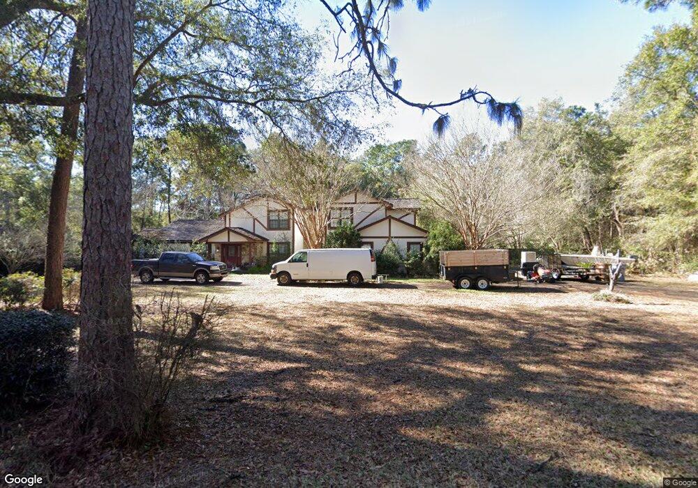
5901 Mandie Ln Milton, FL 32570
Estimated Value: $462,000 - $540,045
3
Beds
3
Baths
3,330
Sq Ft
$146/Sq Ft
Est. Value
About This Home
This home is located at 5901 Mandie Ln, Milton, FL 32570 and is currently estimated at $485,761, approximately $145 per square foot. 5901 Mandie Ln is a home located in Santa Rosa County with nearby schools including W.H. Rhodes Elementary School, Hobbs Middle School, and Milton High School.
Ownership History
Date
Name
Owned For
Owner Type
Purchase Details
Closed on
Mar 9, 2005
Sold by
Stuart Keith Loring and Stuart Lynn
Bought by
Brewton Arthur M and Brewton Karen C
Current Estimated Value
Purchase Details
Closed on
Feb 7, 2003
Sold by
Adams Wilbur and Adams Iris
Bought by
Stuart Keith Loring
Home Financials for this Owner
Home Financials are based on the most recent Mortgage that was taken out on this home.
Original Mortgage
$234,000
Interest Rate
5.93%
Create a Home Valuation Report for This Property
The Home Valuation Report is an in-depth analysis detailing your home's value as well as a comparison with similar homes in the area
Home Values in the Area
Average Home Value in this Area
Purchase History
| Date | Buyer | Sale Price | Title Company |
|---|---|---|---|
| Brewton Arthur M | $260,000 | First American Title Ins Co | |
| Stuart Keith Loring | $260,000 | -- |
Source: Public Records
Mortgage History
| Date | Status | Borrower | Loan Amount |
|---|---|---|---|
| Previous Owner | Stuart Keith Loring | $234,000 |
Source: Public Records
Tax History Compared to Growth
Tax History
| Year | Tax Paid | Tax Assessment Tax Assessment Total Assessment is a certain percentage of the fair market value that is determined by local assessors to be the total taxable value of land and additions on the property. | Land | Improvement |
|---|---|---|---|---|
| 2024 | $2,749 | $269,495 | -- | -- |
| 2023 | $2,749 | $261,646 | $0 | $0 |
| 2022 | $2,687 | $254,025 | $0 | $0 |
| 2021 | $2,678 | $246,626 | $0 | $0 |
| 2020 | $2,659 | $243,221 | $0 | $0 |
| 2019 | $2,601 | $237,753 | $0 | $0 |
| 2018 | $2,591 | $233,320 | $0 | $0 |
| 2017 | $2,519 | $228,521 | $0 | $0 |
| 2016 | $2,511 | $223,821 | $0 | $0 |
| 2015 | $2,562 | $222,265 | $0 | $0 |
| 2014 | $2,586 | $220,501 | $0 | $0 |
Source: Public Records
Map
Nearby Homes
- 6136 Arnies Way
- 5773 Hermitage Cir
- 6016 Arnies Way
- 5720 Redwood Dr
- 5745 Hermitage Cir
- 6008 Kingswood Dr
- 5819 Hermitage Cir
- 5951 Country Club Rd
- 5633 Lia Dr
- 5905 Castle Dr
- 5996 Savannah Dr
- 6411 Julia Dr
- 6504 Julia Dr
- 6423 Julia Dr
- 6062 Dogwood Dr
- 6481 Colonial Dr
- 6022 Syrcle Ave
- 5982 Queen St
- 5929 Chi Cir
- 5935 Chi Cir
- 6200 Willard Norris Rd
- 5925 Mandie Ln
- 6137 Willard Norris Rd
- 6132 Willard Norris Rd
- 5898 Northrop Rd
- 5924 Mandie Ln
- 6153 Willard Norris Rd
- 6224 Willard Norris Rd
- 6120 Willard Norris Rd
- 6209 Willard Norris Rd
- 5875 Northrop Rd
- 0 Lawson Ln
- 5908 Lawson Ln
- 5859 Northrop Rd
- 0 Mandie Ln
- 6236 Willard Norris Rd
- 5912 Lawson Ln
- 6116 Willard Norris Rd
- 5836 Northrop Rd
- 5916 Lawson Ln