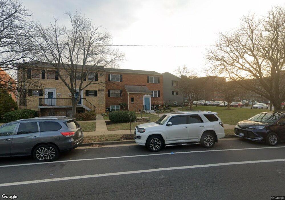
5901 Quantrell Ave Unit 2 Alexandria, VA 22312
Lincolnia Hills NeighborhoodEstimated Value: $310,000 - $345,000
1
Bed
1
Bath
1,488
Sq Ft
$222/Sq Ft
Est. Value
About This Home
This home is located at 5901 Quantrell Ave Unit 2, Alexandria, VA 22312 and is currently estimated at $331,000, approximately $222 per square foot. 5901 Quantrell Ave Unit 2 is a home located in Alexandria City with nearby schools including William Ramsay Elementary School, Francis C. Hammond Middle, and Alexandria City High School.
Ownership History
Date
Name
Owned For
Owner Type
Purchase Details
Closed on
May 24, 2000
Sold by
Hays Jason D
Bought by
Lazo Noel M
Current Estimated Value
Home Financials for this Owner
Home Financials are based on the most recent Mortgage that was taken out on this home.
Original Mortgage
$105,080
Outstanding Balance
$36,197
Interest Rate
8.1%
Estimated Equity
$294,803
Purchase Details
Closed on
Oct 30, 1995
Sold by
Lardiere Kimberly C
Bought by
Mays Jason D
Home Financials for this Owner
Home Financials are based on the most recent Mortgage that was taken out on this home.
Original Mortgage
$101,650
Interest Rate
7.6%
Create a Home Valuation Report for This Property
The Home Valuation Report is an in-depth analysis detailing your home's value as well as a comparison with similar homes in the area
Home Values in the Area
Average Home Value in this Area
Purchase History
| Date | Buyer | Sale Price | Title Company |
|---|---|---|---|
| Lazo Noel M | $107,500 | -- | |
| Mays Jason D | $104,000 | -- |
Source: Public Records
Mortgage History
| Date | Status | Borrower | Loan Amount |
|---|---|---|---|
| Open | Lazo Noel M | $105,080 | |
| Previous Owner | Mays Jason D | $101,650 |
Source: Public Records
Tax History
| Year | Tax Paid | Tax Assessment Tax Assessment Total Assessment is a certain percentage of the fair market value that is determined by local assessors to be the total taxable value of land and additions on the property. | Land | Improvement |
|---|---|---|---|---|
| 2025 | $4,272 | $377,808 | $142,058 | $235,750 |
| 2024 | $4,272 | $368,593 | $138,593 | $230,000 |
| 2023 | $4,032 | $363,233 | $138,593 | $224,640 |
| 2022 | $3,953 | $356,110 | $135,875 | $220,235 |
| 2021 | $3,801 | $342,413 | $130,649 | $211,764 |
| 2020 | $3,457 | $311,285 | $118,772 | $192,513 |
| 2019 | $3,318 | $293,665 | $112,049 | $181,616 |
| 2018 | $3,196 | $282,820 | $109,852 | $172,968 |
| 2017 | $3,196 | $282,820 | $109,852 | $172,968 |
| 2016 | $3,161 | $294,568 | $109,852 | $184,716 |
| 2015 | $2,947 | $282,570 | $106,650 | $175,920 |
| 2014 | $2,585 | $247,868 | $93,553 | $154,315 |
Source: Public Records
Map
Nearby Homes
- 5925 Quantrell Ave Unit 104
- 401 N Armistead St Unit 504
- 5851 Quantrell Ave Unit 209
- 5801 Quantrell Ave Unit 410
- 301 N Beauregard St Unit 1210
- 301 N Beauregard St Unit 517
- 301 N Beauregard St Unit 604
- 301 N Beauregard St Unit 601
- 301 N Beauregard St Unit 307
- 301 N Beauregard St Unit 703
- 301 N Beauregard St Unit 1608
- 517 N Armistead St Unit 303
- 519 N Armistead St Unit T1
- 511 N Armistead St Unit 303
- 509 N Armistead St Unit 103
- 505 N Armistead St Unit 102
- 503 N Armistead St Unit 201
- 501 N Armistead St Unit T2
- 491 N Armistead St Unit T2
- 5500 Holmes Run Pkwy Unit 1507
- 5901 Quantrell Ave Unit 1
- 5905 Quantrell Ave
- 5903 Quantrell Ave
- 5907 Quantrell Ave
- 402 N Armistead St
- 406 N Armistead St
- 404 N Armistead St
- 408 N Armistead St
- 410 N Armistead St
- 410 N Armistead St Unit 410
- 5909 Quantrell Ave Unit 204
- 5909 Quantrell Ave Unit 201
- 5909 Quantrell Ave Unit 203
- 5909 Quantrell Ave Unit T2
- 5909 Quantrell Ave Unit T4
- 5909 Quantrell Ave Unit T3
- 5909 Quantrell Ave Unit 202
- 5909 Quantrell Ave Unit 104
- 5909 Quantrell Ave Unit 103
- 5909 Quantrell Ave Unit 102
Your Personal Tour Guide
Ask me questions while you tour the home.