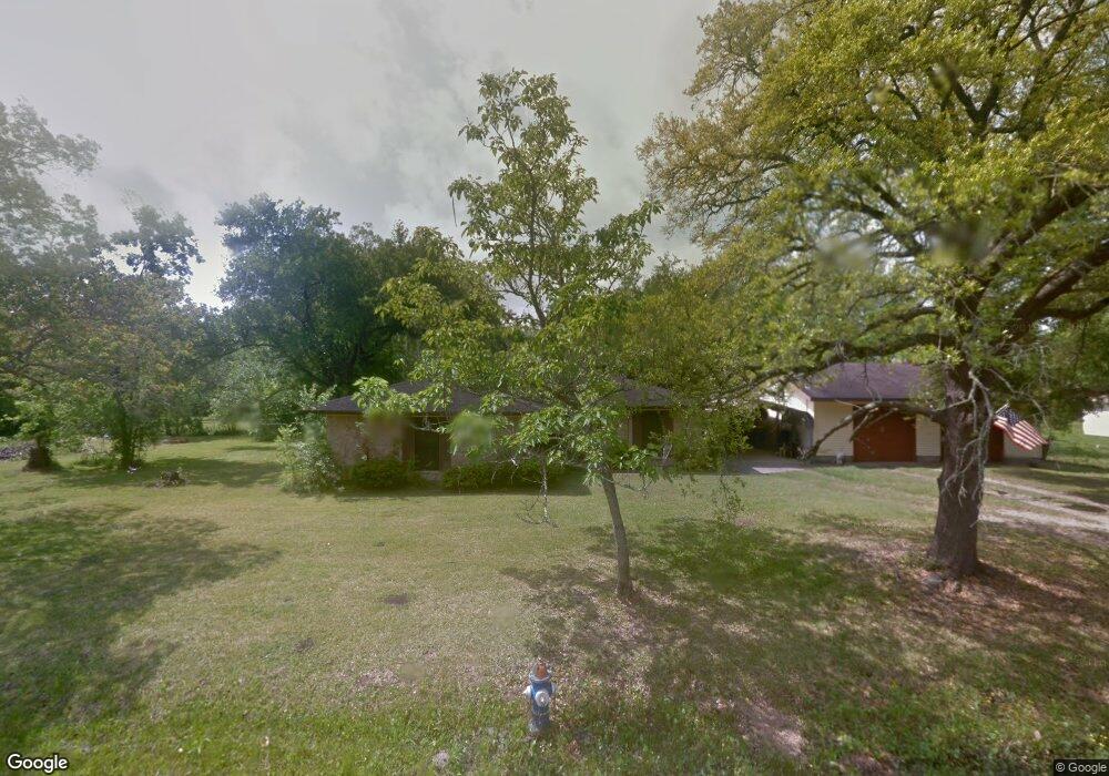
5902 Cottonwood St Pearland, TX 77584
Estimated Value: $344,000 - $403,264
3
Beds
3
Baths
1,977
Sq Ft
$185/Sq Ft
Est. Value
About This Home
This home is located at 5902 Cottonwood St, Pearland, TX 77584 and is currently estimated at $366,316, approximately $185 per square foot. 5902 Cottonwood St is a home located in Brazoria County with nearby schools including H.C. Carleston Elementary School, Pearland Junior High School South, and Sam Jamison Middle School.
Ownership History
Date
Name
Owned For
Owner Type
Purchase Details
Closed on
May 12, 2015
Sold by
Burns Brett L and Williams Linda S
Bought by
Burns Brett L and Williams Linda S
Current Estimated Value
Purchase Details
Closed on
Aug 23, 2007
Sold by
Sanders Patricia Diane
Bought by
Sanders Floyd
Home Financials for this Owner
Home Financials are based on the most recent Mortgage that was taken out on this home.
Original Mortgage
$103,700
Interest Rate
6.72%
Mortgage Type
Credit Line Revolving
Create a Home Valuation Report for This Property
The Home Valuation Report is an in-depth analysis detailing your home's value as well as a comparison with similar homes in the area
Home Values in the Area
Average Home Value in this Area
Purchase History
| Date | Buyer | Sale Price | Title Company |
|---|---|---|---|
| Burns Brett L | -- | None Available | |
| Sanders Floyd | -- | Fidelity National Title |
Source: Public Records
Mortgage History
| Date | Status | Borrower | Loan Amount |
|---|---|---|---|
| Closed | Sanders Floyd | $103,700 |
Source: Public Records
Tax History Compared to Growth
Tax History
| Year | Tax Paid | Tax Assessment Tax Assessment Total Assessment is a certain percentage of the fair market value that is determined by local assessors to be the total taxable value of land and additions on the property. | Land | Improvement |
|---|---|---|---|---|
| 2025 | $7,853 | $329,690 | $115,150 | $214,540 |
| 2023 | $7,853 | $359,140 | $134,330 | $224,810 |
| 2022 | $6,430 | $267,310 | $60,210 | $207,100 |
| 2021 | $6,578 | $255,320 | $59,430 | $195,890 |
| 2020 | $5,965 | $221,090 | $50,930 | $170,160 |
| 2019 | $5,100 | $188,980 | $46,690 | $142,290 |
| 2018 | $5,550 | $206,570 | $50,930 | $155,640 |
| 2017 | $6,131 | $227,040 | $55,190 | $171,850 |
| 2016 | $6,001 | $222,250 | $52,360 | $169,890 |
| 2015 | $2,101 | $187,190 | $40,280 | $146,910 |
| 2014 | $2,101 | $172,030 | $44,310 | $127,720 |
Source: Public Records
Map
Nearby Homes
- 3902 Basil Ct
- 3834 Aubrell Rd
- 3730 Aubrell Rd
- 5806 Wilton St
- 6112 Tomorrow Cir
- 4009 Ravencrest Ct
- 6301 Larrycrest Dr
- 6406 Patridge Dr
- 16708 N Wayne Ln
- 3602 Lindhaven Dr
- 6504 Patridge Dr
- 3510 Dorsey Ln
- 5205 Spring Branch Dr
- 3610 Kale St
- 6407 Hillock Ln
- 6436 Grace Ln
- 3902 Bluebird Way
- 6618 Heron Ln
- 5101 Big Spring Dr
- 3911 Spring Garden Dr
- 5910 Cottonwood St
- 64xx Cottonwood St Cr553
- 5901 Cottonwood St
- 5918 Cottonwood St
- 5901 Raza Rd
- 5822 Cottonwood St
- 5917 Cottonwood St
- 5917 Raza Rd
- 5809 Raza Rd
- 5819 Cottonwood St
- 5921 Raza Rd
- 5801 Cottonwood St
- 5925 Cottonwood St
- 5830 Willow St
- 5830 Willow Dr
- 5830 (Lot 10) Willow Dr
- 5934 Cottonwood St
- 5918 Willow Dr
- 5902 Raza Rd
- 5929 Cottonwood St