5902 Franks Ferry Rd Walling, TN 38587
Estimated Value: $200,755 - $351,000
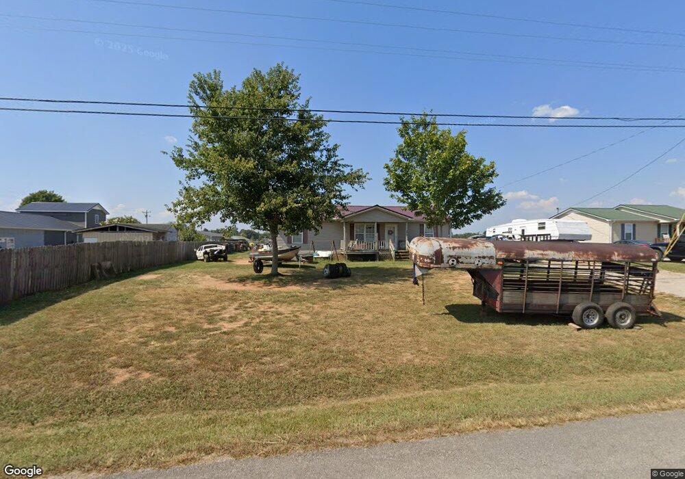
About This Home
This home is located at 5902 Franks Ferry Rd, Walling, TN 38587 and is currently estimated at $270,439, approximately $208 per square foot. 5902 Franks Ferry Rd is a home located in White County with nearby schools including Central View Elementary School, White County Middle School, and White County High School.
Ownership History
We collect this data history from publicly available records. To have your information removed, we recommend requesting removal directly through your county’s website.
Purchase Details
Home Financials for this Owner
Home Financials are based on the most recent Mortgage that was taken out on this home.Purchase Details
Purchase Details
Purchase History
We collect this data history from publicly available records. To have your information removed, we recommend requesting removal directly through your county’s website.
| Date | Buyer | Sale Price | Title Company |
|---|---|---|---|
| $63,500 | -- | ||
| $5,200 | -- | ||
| $72,000 | -- |
Mortgage History
We collect this data history from publicly available records. To have your information removed, we recommend requesting removal directly through your county’s website.
| Date | Status | Borrower | Loan Amount |
|---|---|---|---|
| Open | $63,500 |
Tax History
We collect this data history from publicly available records. To have your information removed, we recommend requesting removal directly through your county’s website.
| Year | Tax Paid | Tax Assessment Tax Assessment Total Assessment is a certain percentage of the fair market value that is determined by local assessors to be the total taxable value of land and additions on the property. | Land | Improvement |
|---|---|---|---|---|
| 2025 | $661 | $46,900 | $2,975 | $43,925 |
| 2024 | $554 | $27,025 | $1,950 | $25,075 |
| 2023 | $554 | $27,025 | $1,950 | $25,075 |
| 2022 | $554 | $27,025 | $1,950 | $25,075 |
| 2021 | $554 | $27,025 | $1,950 | $25,075 |
| 2020 | $554 | $27,025 | $1,950 | $25,075 |
| 2019 | $488 | $23,800 | $1,775 | $22,025 |
| 2018 | $488 | $23,800 | $1,775 | $22,025 |
| 2017 | $488 | $23,800 | $1,775 | $22,025 |
| 2016 | $488 | $23,800 | $1,775 | $22,025 |
| 2015 | $440 | $23,800 | $1,775 | $22,025 |
| 2014 | -- | $23,800 | $1,775 | $22,025 |
| 2013 | -- | $23,150 | $1,650 | $21,500 |
Map
- 1476 Conrad Templeton Rd
- 620 Roberts Cemetery Rd
- 00 Roberts Cemetery Rd
- 7400 Franks Ferry Rd
- 1050 Franks Ferry Rd
- 14193 Old Kentucky Rd
- 14305 Old Kentucky Rd
- 13400 Old Kentucky Rd
- 515 Jericho Rd Unit 3
- 515 Jericho Rd
- 515 Jericho Rd Unit 1
- 515 Jericho Rd Unit 2
- lot 7 Franks Ferry Rd
- lot 4 Franks Ferry Rd
- lot 8 Franks Ferry Rd
- 265 N Center Point Acres
- 550 N Center Point Acres
- 0 Old Kentucky Rd Unit 9
- 0 Center Point Acres N Unit 1322803
- 5884 Franks Ferry Rd
- 15637 Old Kentucky Rd
- 5866 Franks Ferry Rd
- 15617 Old Kentucky Rd
- 5.10 Old Kentucky Rd
- 5846 Franks Ferry Rd
- 15678 Old Kentucky Rd
- 0 38 25 Ac Old Kentucky Rd Unit 1119940
- 15597 Old Kentucky Rd
- 15667 Old Kentucky Rd
- 5828 Franks Ferry Rd
- 15732 Old Kentucky Rd
- 15597 Old Kentucky Rd
- 5384 Franks Ferry Rd
- 15667 Old Kentucky Rd
- 5790 Franks Ferry Rd
- 15541 Old Kentucky Rd
- 15581 Old Kentucky Rd
- 15501 Old Kentucky Rd
- 38 Ac Old Kentucky Rd
Ask me questions while you tour the home.