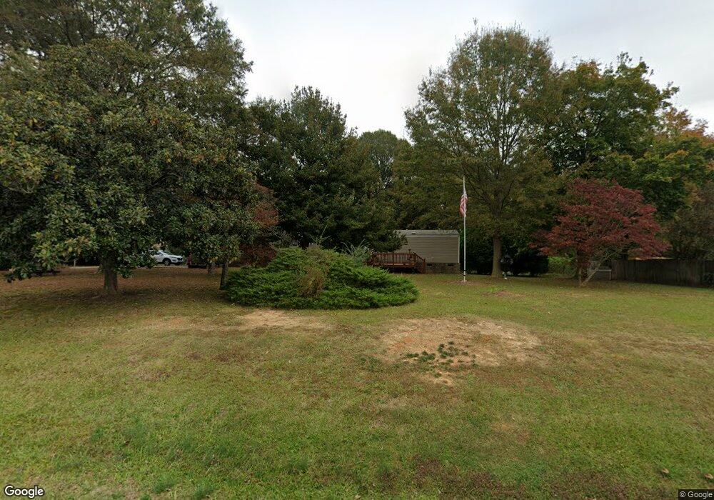
5903 Austin Rd Monroe, NC 28112
Estimated Value: $202,000 - $319,000
--
Bed
1
Bath
2,240
Sq Ft
$121/Sq Ft
Est. Value
About This Home
This home is located at 5903 Austin Rd, Monroe, NC 28112 and is currently estimated at $271,466, approximately $121 per square foot. 5903 Austin Rd is a home located in Union County with nearby schools including Prospect Elementary School, Parkwood Middle School, and Parkwood High School.
Ownership History
Date
Name
Owned For
Owner Type
Purchase Details
Closed on
Sep 28, 2011
Sold by
Glassberg William Frank
Bought by
Glassberg William F and Glassberg Diane S
Current Estimated Value
Purchase Details
Closed on
Sep 24, 2011
Sold by
Secretary Of Housing & Urban Development
Bought by
Glassberg William Frank
Purchase Details
Closed on
Jul 1, 2011
Sold by
Midfirst Bank
Bought by
Secretary Of Housing & Urban Development
Purchase Details
Closed on
Jun 27, 2011
Sold by
Laney Jerry K and Carpenter Marsha A
Bought by
Midfirst Bank
Purchase Details
Closed on
Jan 25, 2006
Sold by
Helms Michael and Helms Pamela
Bought by
Laney Jerry K and Carpenter Marsha A
Home Financials for this Owner
Home Financials are based on the most recent Mortgage that was taken out on this home.
Original Mortgage
$105,650
Interest Rate
6.21%
Mortgage Type
FHA
Purchase Details
Closed on
Jun 28, 2004
Sold by
Sandtrap Properties Llc
Bought by
Helms Michael and Helms Pamela
Home Financials for this Owner
Home Financials are based on the most recent Mortgage that was taken out on this home.
Original Mortgage
$101,150
Interest Rate
6.3%
Mortgage Type
FHA
Purchase Details
Closed on
Dec 16, 2003
Sold by
The Chase Manhattan Bank
Bought by
Sandtrap Properties Llc
Home Financials for this Owner
Home Financials are based on the most recent Mortgage that was taken out on this home.
Original Mortgage
$55,000
Interest Rate
5.87%
Mortgage Type
Purchase Money Mortgage
Purchase Details
Closed on
Nov 25, 2002
Sold by
Laney Hedy H
Bought by
The Chase Manhattan Bank and First Greensboro Home Loan Trust 1998-1
Purchase Details
Closed on
Jul 15, 1999
Sold by
Laney Timothy Lane
Bought by
Laney Hedy H
Home Financials for this Owner
Home Financials are based on the most recent Mortgage that was taken out on this home.
Original Mortgage
$76,000
Interest Rate
7.43%
Create a Home Valuation Report for This Property
The Home Valuation Report is an in-depth analysis detailing your home's value as well as a comparison with similar homes in the area
Home Values in the Area
Average Home Value in this Area
Purchase History
| Date | Buyer | Sale Price | Title Company |
|---|---|---|---|
| Glassberg William F | -- | None Available | |
| Glassberg William Frank | -- | None Available | |
| Secretary Of Housing & Urban Development | -- | None Available | |
| Midfirst Bank | $112,446 | None Available | |
| Laney Jerry K | $106,500 | None Available | |
| Helms Michael | $102,000 | -- | |
| Sandtrap Properties Llc | $55,000 | -- | |
| The Chase Manhattan Bank | $67,735 | -- | |
| Laney Hedy H | -- | -- |
Source: Public Records
Mortgage History
| Date | Status | Borrower | Loan Amount |
|---|---|---|---|
| Previous Owner | Laney Jerry K | $105,650 | |
| Previous Owner | Helms Michael | $101,150 | |
| Previous Owner | Sandtrap Properties Llc | $55,000 | |
| Previous Owner | Laney Hedy H | $76,000 | |
| Closed | Laney Hedy H | $10,700 |
Source: Public Records
Tax History Compared to Growth
Tax History
| Year | Tax Paid | Tax Assessment Tax Assessment Total Assessment is a certain percentage of the fair market value that is determined by local assessors to be the total taxable value of land and additions on the property. | Land | Improvement |
|---|---|---|---|---|
| 2024 | $492 | $78,700 | $27,800 | $50,900 |
| 2023 | $489 | $78,700 | $27,800 | $50,900 |
| 2022 | $489 | $78,700 | $27,800 | $50,900 |
| 2021 | $493 | $78,700 | $27,800 | $50,900 |
| 2020 | $655 | $82,970 | $18,770 | $64,200 |
| 2019 | $707 | $82,970 | $18,770 | $64,200 |
| 2018 | $707 | $82,970 | $18,770 | $64,200 |
| 2017 | $748 | $83,000 | $18,800 | $64,200 |
| 2016 | $736 | $82,970 | $18,770 | $64,200 |
| 2015 | $745 | $82,970 | $18,770 | $64,200 |
| 2014 | $786 | $105,920 | $36,660 | $69,260 |
Source: Public Records
Map
Nearby Homes
- 18AC W M Griffin Rd
- 604 Gay Rd
- 212 Gulledge Parker Rd
- 1812, 1806 Trinity Church Rd
- 1816 Trinity Church Rd
- 1815 Trinity Church Rd
- 6611 Plyler Mill Rd
- 316 W Sandy Ridge Rd
- 6202 Plyler Mill Rd
- 7602 Gus Eubanks Rd
- 1822 Irby Rd
- 1619 Ellis Belk Rd
- 0 Wolf Pond Rd Unit CAR4260991
- 2407 Ruben Rd
- 2310 Ruben Rd
- 105 Eubanks Rd
- 313 W Landsford Rd
- 1004 E Sandy Ridge Rd
- 6118 S Rocky River Rd
- 5606 S Rocky River Rd
- 5907 Austin Rd
- 5915 Austin Rd
- 5912 Austin Rd
- 5916 Austin Rd
- 5917 Austin Rd
- 205 Holt Rd
- 5914 Austin Rd
- 5921 Austin Rd
- 5805 Austin Rd
- 6003 Austin Rd
- 6005 Austin Rd
- 5811 Austin Rd
- 6020 Austin Rd
- 6026 Austin Rd
- 6024 Austin Rd
- 6104 Austin Rd
- 6028 Austin Rd
- 5524 W M Griffin Rd
- 5524 Wm Griffin Rd Unit LOT 3
- 5524 Wm Griffin Rd