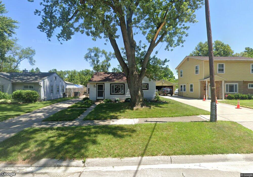
5903 Daniels St Taylor, MI 48180
Estimated Value: $116,801 - $146,000
--
Bed
--
Bath
1,055
Sq Ft
$128/Sq Ft
Est. Value
About This Home
This home is located at 5903 Daniels St, Taylor, MI 48180 and is currently estimated at $135,450, approximately $128 per square foot. 5903 Daniels St is a home located in Wayne County with nearby schools including Holland Elementary School, Hoover Middle School, and Taylor High School.
Ownership History
Date
Name
Owned For
Owner Type
Purchase Details
Closed on
May 3, 2024
Sold by
Hipsley Kenneth P
Bought by
Burke Danielle and Hobbst Thomas
Current Estimated Value
Home Financials for this Owner
Home Financials are based on the most recent Mortgage that was taken out on this home.
Original Mortgage
$70,695
Outstanding Balance
$69,702
Interest Rate
6.87%
Mortgage Type
FHA
Estimated Equity
$65,748
Create a Home Valuation Report for This Property
The Home Valuation Report is an in-depth analysis detailing your home's value as well as a comparison with similar homes in the area
Home Values in the Area
Average Home Value in this Area
Purchase History
| Date | Buyer | Sale Price | Title Company |
|---|---|---|---|
| Burke Danielle | $72,000 | Michigan Title Insurance Agenc | |
| Burke Danielle | $72,000 | Michigan Title Insurance Agenc |
Source: Public Records
Mortgage History
| Date | Status | Borrower | Loan Amount |
|---|---|---|---|
| Open | Burke Danielle | $70,695 | |
| Closed | Burke Danielle | $70,695 |
Source: Public Records
Tax History Compared to Growth
Tax History
| Year | Tax Paid | Tax Assessment Tax Assessment Total Assessment is a certain percentage of the fair market value that is determined by local assessors to be the total taxable value of land and additions on the property. | Land | Improvement |
|---|---|---|---|---|
| 2025 | $1,118 | $66,000 | $0 | $0 |
| 2024 | $1,118 | $60,100 | $0 | $0 |
| 2023 | $1,794 | $51,200 | $0 | $0 |
| 2022 | $1,486 | $47,900 | $0 | $0 |
| 2021 | $1,600 | $40,600 | $0 | $0 |
| 2020 | $1,582 | $34,700 | $0 | $0 |
| 2019 | $156,900 | $30,100 | $0 | $0 |
| 2018 | $1,305 | $23,000 | $0 | $0 |
| 2017 | $515 | $22,500 | $0 | $0 |
| 2016 | $2,459 | $21,900 | $0 | $0 |
| 2015 | $2,070 | $20,700 | $0 | $0 |
| 2013 | $2,350 | $24,300 | $0 | $0 |
| 2012 | $1,510 | $24,100 | $9,400 | $14,700 |
Source: Public Records
Map
Nearby Homes
- 5526 Sylvia St
- 5970 John Daly St
- 5993 John Daly St
- 6211 Inkster Rd
- 6221 Inkster Rd
- 6107 John Daly St
- 6368 Hazel St
- 27523 Powers St
- 26532 Powers Ave
- 6370 Hampden St
- 4863 Glenis St
- 6075 Duncan St
- 6319 Duncan St
- 6179 Fellrath St
- 5961 Marvin St
- 26106 Powers Ave
- 26215 Beverly Rd
- 26225 McDonald St
- 26439 Hopkins St
- 6338 Marvin St
- 5891 Daniels St
- 5915 Daniels St
- 5879 Daniels St Unit Bldg-Unit
- 5879 Daniels St
- 5927 Daniels St
- 5910 Sylvia St
- 5894 Sylvia St
- 5924 Sylvia St
- 5867 Daniels St
- 5939 Daniels St
- 5938 Sylvia St
- 5880 Sylvia St
- 5902 Daniels St
- 5882 Daniels St
- 5920 Daniels St
- 5864 Sylvia St
- 5954 Sylvia St
- 5951 Daniels St
- 5866 Daniels St
- 5940 Daniels St