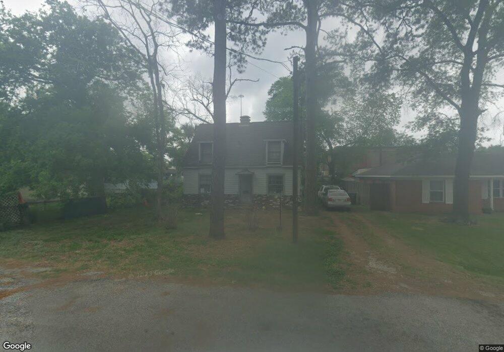
5903 Leon St Houston, TX 77009
Northside Village NeighborhoodEstimated Value: $222,402 - $322,000
2
Beds
2
Baths
1,073
Sq Ft
$262/Sq Ft
Est. Value
About This Home
This home is located at 5903 Leon St, Houston, TX 77009 and is currently estimated at $280,851, approximately $261 per square foot. 5903 Leon St is a home located in Harris County with nearby schools including Jefferson Elementary School, Marshall Middle, and Northside High School.
Ownership History
Date
Name
Owned For
Owner Type
Purchase Details
Closed on
Oct 1, 1993
Sold by
Koska Ronald P and Koska Donna
Bought by
Pietropaolo Nicola David and Pietropaolo Sally Ann
Current Estimated Value
Home Financials for this Owner
Home Financials are based on the most recent Mortgage that was taken out on this home.
Original Mortgage
$23,600
Interest Rate
7.11%
Create a Home Valuation Report for This Property
The Home Valuation Report is an in-depth analysis detailing your home's value as well as a comparison with similar homes in the area
Home Values in the Area
Average Home Value in this Area
Purchase History
| Date | Buyer | Sale Price | Title Company |
|---|---|---|---|
| Pietropaolo Nicola David | -- | Charter Title Company |
Source: Public Records
Mortgage History
| Date | Status | Borrower | Loan Amount |
|---|---|---|---|
| Closed | Pietropaolo Nicola David | $23,600 |
Source: Public Records
Tax History Compared to Growth
Tax History
| Year | Tax Paid | Tax Assessment Tax Assessment Total Assessment is a certain percentage of the fair market value that is determined by local assessors to be the total taxable value of land and additions on the property. | Land | Improvement |
|---|---|---|---|---|
| 2025 | $285 | $205,488 | $145,796 | $59,692 |
| 2024 | $285 | $223,607 | $145,796 | $77,811 |
| 2023 | $285 | $227,100 | $145,796 | $81,304 |
| 2022 | $3,932 | $192,351 | $125,785 | $66,566 |
| 2021 | $3,784 | $182,465 | $125,785 | $56,680 |
| 2020 | $3,574 | $170,939 | $125,785 | $45,154 |
| 2019 | $3,395 | $161,403 | $125,785 | $35,618 |
| 2018 | $2,180 | $139,809 | $102,915 | $36,894 |
| 2017 | $2,804 | $139,809 | $102,915 | $36,894 |
| 2016 | $2,549 | $139,914 | $97,198 | $42,716 |
| 2015 | $1,543 | $128,952 | $82,904 | $46,048 |
| 2014 | $1,543 | $85,083 | $57,175 | $27,908 |
Source: Public Records
Map
Nearby Homes
- 213 Sylvester Rd
- 408 Eichwurzel Ln Unit A
- 5907 Nancy Ann St
- 119 Sylvester Rd
- 5715 Enid St
- 105 Delaney St
- 408 Robert Lee Rd
- 6305 Gay St
- 5511 Enid St
- 1611 Sylvester Rd
- 5510 Fulton St
- 1607 Sylvester Rd
- 1833 Tabor St
- 1603 Sylvester Rd
- 205 Caplin St
- 220 Caplin St
- 1737 Tabor St
- 317 Avenue of Oaks St
- 317 Kelley St
- 1818 & 1820 Lula St
- 5907 Leon St
- 5911 Leon St
- 314 Sylvester Rd
- 318 Sylvester Rd
- 310 Sylvester Rd
- 5902 Leon St
- 306 Sylvester Rd
- 5906 Leon St
- 304 Sylvester Rd
- 5910 Leon St
- 300 Sylvester Rd
- 5914 Leon St
- 225 Delaney St
- 5903 Nelwyn St
- 5907 Nelwyn St
- 221 Delaney St
- 5911 Nelwyn St
- 212 Sylvester Rd
- 5915 Nelwyn St
- 315 Sylvester Rd