5905 Saline Mine Rd Shawneetown, IL 62984
Estimated Value: $104,000 - $152,843
3
Beds
2
Baths
1,910
Sq Ft
$69/Sq Ft
Est. Value
About This Home
This home is located at 5905 Saline Mine Rd, Shawneetown, IL 62984 and is currently estimated at $131,461, approximately $68 per square foot. 5905 Saline Mine Rd is a home located in Gallatin County with nearby schools including Gallatin Elementary School, Gallatin Junior High School, and Gallatin High School.
Ownership History
Date
Name
Owned For
Owner Type
Purchase Details
Closed on
Feb 9, 2024
Sold by
Stacey Joseph E
Bought by
Flahardy Michael L
Current Estimated Value
Home Financials for this Owner
Home Financials are based on the most recent Mortgage that was taken out on this home.
Original Mortgage
$123,626
Outstanding Balance
$121,290
Interest Rate
6.25%
Mortgage Type
Construction
Estimated Equity
$10,171
Purchase Details
Closed on
Oct 20, 2005
Bought by
Stacey Joseph E and Stacey Natasha L
Create a Home Valuation Report for This Property
The Home Valuation Report is an in-depth analysis detailing your home's value as well as a comparison with similar homes in the area
Home Values in the Area
Average Home Value in this Area
Purchase History
| Date | Buyer | Sale Price | Title Company |
|---|---|---|---|
| Flahardy Michael L | $135,000 | Title Professionals | |
| Stacey Joseph E | $75,000 | -- |
Source: Public Records
Mortgage History
| Date | Status | Borrower | Loan Amount |
|---|---|---|---|
| Open | Flahardy Michael L | $123,626 |
Source: Public Records
Tax History Compared to Growth
Tax History
| Year | Tax Paid | Tax Assessment Tax Assessment Total Assessment is a certain percentage of the fair market value that is determined by local assessors to be the total taxable value of land and additions on the property. | Land | Improvement |
|---|---|---|---|---|
| 2024 | $1,636 | $27,715 | $2,385 | $25,330 |
| 2023 | $1,476 | $27,715 | $2,385 | $25,330 |
| 2022 | $1,513 | $26,395 | $2,271 | $24,124 |
| 2021 | $1,484 | $25,877 | $2,226 | $23,651 |
| 2020 | $1,478 | $26,138 | $2,248 | $23,890 |
| 2019 | $1,499 | $26,138 | $2,248 | $23,890 |
| 2018 | $1,513 | $25,303 | $2,176 | $23,127 |
| 2017 | $1,528 | $23,429 | $2,015 | $21,414 |
| 2015 | $1,175 | $21,663 | $1,863 | $19,800 |
| 2014 | $1,175 | $21,663 | $1,863 | $19,800 |
| 2013 | $1,512 | $28,619 | $1,863 | $26,756 |
| 2012 | -- | $26,872 | $1,749 | $25,123 |
Source: Public Records
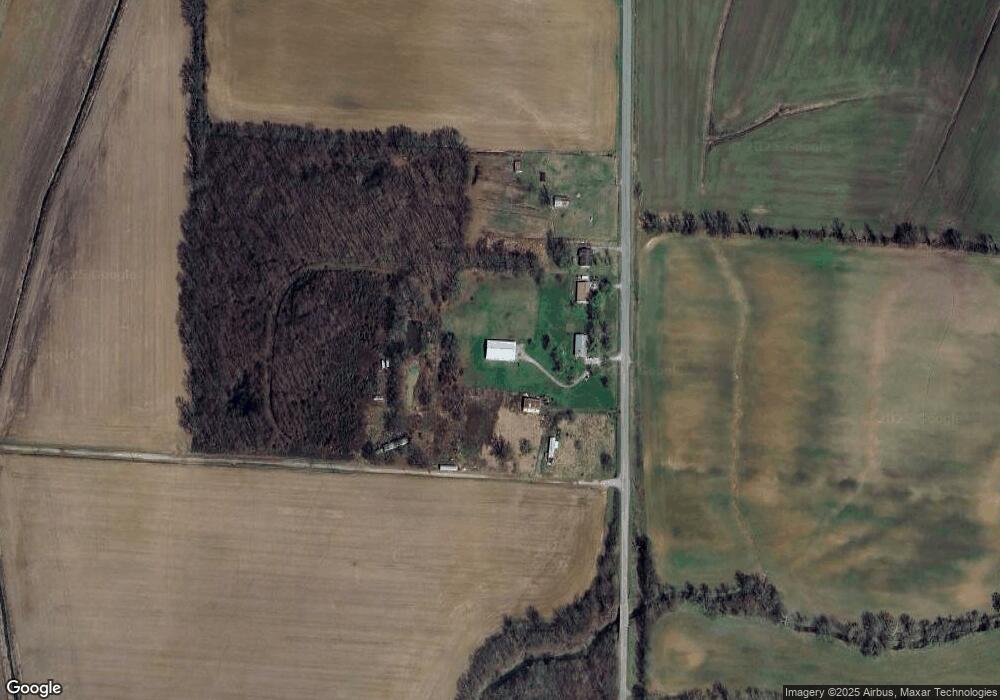
Map
Nearby Homes
- 149 Lincoln Blvd
- TBD N Lincoln Blvd
- 133 W Shawnee Ave
- 141 W Shawnee Ave
- 143 E Posey Ave
- 2174 Highway 1
- 273 W McClernand Ave
- 174 E Wilson Ave
- 129 E Wilson Ave
- 8860 Shawnee Hill Rd
- 000 Shawnee Hill Rd
- 10116 State Route 56 W
- 890 Bald Hill Rd W Unit tract 3
- 0 Bald Hill Rd
- 889 Bald Hill Rd W Unit Tract 1
- 162 Yellow Springs Rd
- 255 Yellow Springs Rd
- 000 Shawneetown New Haven Rd
- 3485 Coyle Ln
- 718 Karbers Ridge Rd
- 5875 Saline Mine Rd
- 5935 Saline Mine Rd
- 6025 Saline Mine Rd
- 6175 Saline Mine Rd
- 6255 Saline Mine Rd
- 5837 Saline Mine Rd
- 6355 Saline Mine Rd
- 5500 Saline Mine Rd
- 6425 Saline Mine Rd
- 5450 Saline Mine Rd
- 5385 Saline Mine Rd
- 6575 Saline Mine Rd
- 5150 Saline Mine Rd
- 9700 Hogan Cemetery Rd
- 6820 Saline Mine Rd