Estimated Value: $201,000 - $349,979
2
Beds
1
Bath
1,380
Sq Ft
$200/Sq Ft
Est. Value
About This Home
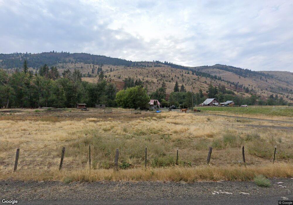
This home is located at 59054 Highway 203, Union, OR 97883 and is currently estimated at $275,490, approximately $199 per square foot. 59054 Highway 203 is a home located in Union County with nearby schools including Union Elementary School and Union High School.
Create a Home Valuation Report for This Property
The Home Valuation Report is an in-depth analysis detailing your home's value as well as a comparison with similar homes in the area
Home Values in the Area
Average Home Value in this Area
Tax History Compared to Growth
Tax History
| Year | Tax Paid | Tax Assessment Tax Assessment Total Assessment is a certain percentage of the fair market value that is determined by local assessors to be the total taxable value of land and additions on the property. | Land | Improvement |
|---|---|---|---|---|
| 2025 | $1,162 | $100,270 | $13,120 | $87,150 |
| 2024 | $1,130 | $97,440 | $12,820 | $84,620 |
| 2023 | $1,095 | $94,750 | $12,590 | $82,160 |
| 2022 | $1,079 | $92,150 | $12,373 | $79,777 |
| 2021 | $1,074 | $91,522 | $14,068 | $77,454 |
| 2020 | $1,042 | $88,984 | $13,785 | $75,199 |
| 2019 | $929 | $86,521 | $13,512 | $73,009 |
| 2018 | $903 | $84,128 | $13,245 | $70,883 |
| 2017 | $878 | $81,807 | $12,988 | $68,819 |
| 2016 | $854 | $79,553 | $12,738 | $66,815 |
| 2015 | $820 | $79,636 | $14,767 | $64,869 |
| 2014 | $820 | $77,445 | $14,465 | $62,980 |
| 2013 | $797 | $75,321 | $14,175 | $61,146 |
Source: Public Records
Map
Nearby Homes
- 548 S Pioneer Ct
- 558 E Fulton St
- 610 E Fulton St
- 1115 S 2nd St
- 469 S Gale St
- 571 S Bellwood St
- 362 E Dearborn St
- 650 E Chestnut St
- 362 S 4th St
- 746 W Arch St
- 1137 N Bellwood St
- 61615 High Valley Rd
- 61938 High Valley Rd
- 0 Fraizer Mtn Rd Unit 735788799
- 1701 Catherine Creek Ln
- 59926 Comstock Rd
- 300 Catherine Crk Meadow Unit 1
- 0 Rose Ridge Rd Unit 3
- 0 Rose Ridge Rd Unit 1
- 0 Rose Ridge Rd Unit 22290306