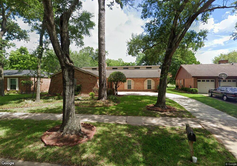
5906 Par Four Dr Houston, TX 77088
Greater Inwood NeighborhoodEstimated Value: $249,000 - $289,000
3
Beds
3
Baths
2,760
Sq Ft
$100/Sq Ft
Est. Value
About This Home
This home is located at 5906 Par Four Dr, Houston, TX 77088 and is currently estimated at $275,400, approximately $99 per square foot. 5906 Par Four Dr is a home located in Harris County with nearby schools including Edward a Vines EC/Pre-K/K School, J. Ruth Smith Elementary, and Hoffman Middle School.
Ownership History
Date
Name
Owned For
Owner Type
Purchase Details
Closed on
May 22, 2008
Sold by
Friedrich Calvin H and Friedrich Laurel
Bought by
Shepard Maddie P
Current Estimated Value
Home Financials for this Owner
Home Financials are based on the most recent Mortgage that was taken out on this home.
Original Mortgage
$121,198
Outstanding Balance
$76,794
Interest Rate
5.89%
Mortgage Type
FHA
Estimated Equity
$198,606
Create a Home Valuation Report for This Property
The Home Valuation Report is an in-depth analysis detailing your home's value as well as a comparison with similar homes in the area
Home Values in the Area
Average Home Value in this Area
Purchase History
| Date | Buyer | Sale Price | Title Company |
|---|---|---|---|
| Shepard Maddie P | -- | American Title Company |
Source: Public Records
Mortgage History
| Date | Status | Borrower | Loan Amount |
|---|---|---|---|
| Open | Shepard Maddie P | $121,198 |
Source: Public Records
Tax History Compared to Growth
Tax History
| Year | Tax Paid | Tax Assessment Tax Assessment Total Assessment is a certain percentage of the fair market value that is determined by local assessors to be the total taxable value of land and additions on the property. | Land | Improvement |
|---|---|---|---|---|
| 2025 | $791 | $303,761 | $37,012 | $266,749 |
| 2024 | $791 | $280,112 | $37,012 | $243,100 |
| 2023 | $791 | $300,645 | $37,012 | $263,633 |
| 2022 | $5,601 | $302,223 | $33,647 | $268,576 |
| 2021 | $5,332 | $283,662 | $20,936 | $262,726 |
| 2020 | $5,094 | $256,372 | $20,936 | $235,436 |
| 2019 | $4,855 | $235,199 | $20,936 | $214,263 |
| 2018 | $1,728 | $179,033 | $20,936 | $158,097 |
| 2017 | $3,846 | $199,978 | $20,936 | $179,042 |
| 2016 | $3,497 | $144,971 | $20,936 | $124,035 |
| 2015 | $2,425 | $121,359 | $13,085 | $108,274 |
| 2014 | $2,425 | $108,939 | $13,085 | $95,854 |
Source: Public Records
Map
Nearby Homes
- 7211 Deep Forest Dr
- 5907 Darkwood Dr
- 0 Maple Hill Dr
- 7606 Victory Dr
- 4444 Victory Dr Unit 1311
- 4444 Victory Dr Unit 1108
- 7526 Antoine Dr
- 6918 Bent Branch Dr
- 6202 Wagonwheel Cir
- 7014 Bent Branch Dr
- 6430 Antoine Dr
- 6931 Wagonwheel Ln
- 5906 Lawn Ln
- 5914 Lawn Ln
- 5710 Council Grove Ln
- 5622 Sheraton Oaks Dr
- 5606 Water Leaf Ln
- 5639 Council Grove Ln
- 6338 Maple Hill Dr
- 7146 Bayou Forest Dr
- 5910 Par Four Dr
- 5902 Par Four Dr
- 5902 Par 4 Dr
- 5914 Par Four Dr
- 5834 Par Four Dr
- 7219 Deep Forest Dr
- 7222 Fairway Ct
- 5918 Par Four Dr
- 5830 Par Four Dr
- 7215 Deep Forest Dr
- 7218 Fairway Ct
- 5922 Par Four Dr
- 5826 Par Four Dr
- 7218 Deep Forest Dr
- 7223 Fairway Ct
- 7214 Fairway Ct
- 5926 Par 4 Dr Unit PAR 4 UNIT 2
- 5926 Par 4 Dr
- 7214 Deep Forest Dr
- 7219 Fairway Ct