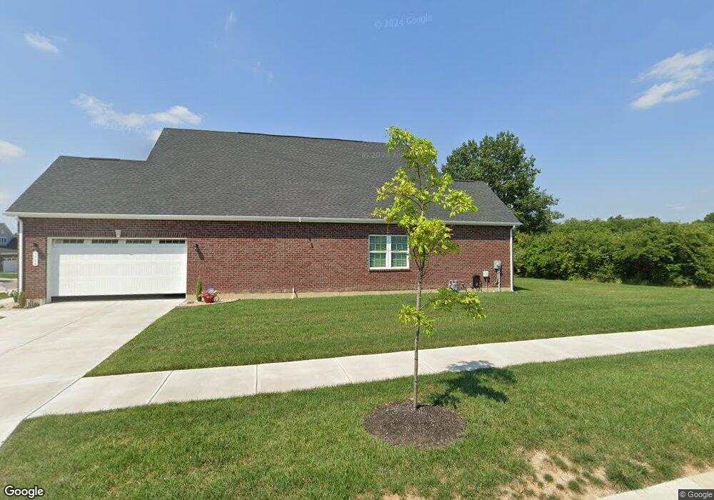
5906 Treeside Dr Liberty Township, OH 45044
Estimated Value: $502,000 - $586,000
3
Beds
2
Baths
1,947
Sq Ft
$283/Sq Ft
Est. Value
About This Home
This home is located at 5906 Treeside Dr, Liberty Township, OH 45044 and is currently estimated at $551,843, approximately $283 per square foot. 5906 Treeside Dr is a home with nearby schools including Independence Elementary School, Liberty Junior School, and Lakota East High School.
Ownership History
Date
Name
Owned For
Owner Type
Purchase Details
Closed on
Jun 5, 2023
Sold by
Baker Barney G and Baker Rose
Bought by
Mccausland Catherine R
Current Estimated Value
Purchase Details
Closed on
Apr 21, 2022
Sold by
Nvr Inc
Bought by
Baker Barney G and Baker Rose
Home Financials for this Owner
Home Financials are based on the most recent Mortgage that was taken out on this home.
Original Mortgage
$300,000
Interest Rate
2.88%
Mortgage Type
New Conventional
Purchase Details
Closed on
Dec 10, 2021
Sold by
Fieldstone Farms Development Llc
Bought by
Nvr Inc
Create a Home Valuation Report for This Property
The Home Valuation Report is an in-depth analysis detailing your home's value as well as a comparison with similar homes in the area
Home Values in the Area
Average Home Value in this Area
Purchase History
| Date | Buyer | Sale Price | Title Company |
|---|---|---|---|
| Mccausland Catherine R | -- | None Listed On Document | |
| Baker Barney G | $460,765 | Dan R Orner Co | |
| Nvr Inc | $81,090 | None Listed On Document |
Source: Public Records
Mortgage History
| Date | Status | Borrower | Loan Amount |
|---|---|---|---|
| Previous Owner | Baker Barney G | $300,000 |
Source: Public Records
Tax History Compared to Growth
Tax History
| Year | Tax Paid | Tax Assessment Tax Assessment Total Assessment is a certain percentage of the fair market value that is determined by local assessors to be the total taxable value of land and additions on the property. | Land | Improvement |
|---|---|---|---|---|
| 2024 | $6,799 | $167,350 | $19,310 | $148,040 |
| 2023 | $6,631 | $167,350 | $19,310 | $148,040 |
| 2022 | $692 | $12,550 | $12,550 | $0 |
| 2021 | $0 | $0 | $0 | $0 |
Source: Public Records
Map
Nearby Homes
- 5913 Stones Throw Way
- 7120 Shady Brook Bend
- 7108 Shady Brook Bend
- 7113 Shady Brook Bend
- 5933 Old Pebble Path
- 7377 Burton Dr
- 7497 Burton Dr
- 5602 Schlade Ct
- 7644 Millikin Rd
- 6919 Millikin Rd
- 7221 Kyles Station Rd
- 7095 Kyles Station Rd
- 6335 Gem Stone Dr
- 7542 Hickory Knoll Dr
- 1 Kyles Station Rd
- 5326 Elmwood Ln
- 7241 Stonebrook Ct
- 7574 Woodmere Ct
- 6405 Cincinnati Dayton Rd
- 7025 Welney Run
- 5850 Round Rock Run
- 5840 Round Rock Run
- 5903 Treeside Dr
- 5909 Treeside Dr
- 5830 Round Rock Run
- 5897 Treeside Dr
- 5855 Round Rock Run
- 5887 Treeside Dr
- 5845 Round Rock Run
- 5820 Round Rock Run
- 5835 Round Rock Run
- 5810 Round Rock Run
- 5877 Treeside Dr
- 5825 Round Rock Run
- 5867 Treeside Dr
- 5860 Treeside Dr
- 5861 Treeside Dr
- 5800 Round Rock Run
- 5854 Treeside Dr
- 5790 Round Rock Run