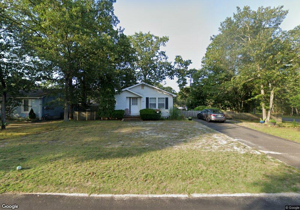
5908 Buttercup Ln Mays Landing, NJ 08330
Estimated Value: $285,000 - $306,000
--
Bed
--
Bath
1,098
Sq Ft
$269/Sq Ft
Est. Value
About This Home
This home is located at 5908 Buttercup Ln, Mays Landing, NJ 08330 and is currently estimated at $295,252, approximately $268 per square foot. 5908 Buttercup Ln is a home located in Atlantic County with nearby schools including Joseph Shaner School, George L. Hess Educational Complex, and William Davies Middle School.
Ownership History
Date
Name
Owned For
Owner Type
Purchase Details
Closed on
Feb 10, 2012
Sold by
Catalano Joseph
Bought by
Catalano Lisa
Current Estimated Value
Purchase Details
Closed on
May 11, 2007
Sold by
Goodman Kimberly A and Parker James A
Bought by
Catalano Joseph and Catalano Lisa
Home Financials for this Owner
Home Financials are based on the most recent Mortgage that was taken out on this home.
Original Mortgage
$33,450
Outstanding Balance
$20,358
Interest Rate
6.18%
Mortgage Type
Stand Alone Second
Estimated Equity
$274,894
Purchase Details
Closed on
May 31, 1989
Sold by
Figueroa Ricardo and Figueroa Dyhalma
Bought by
Wieck John J
Purchase Details
Closed on
Aug 22, 1988
Sold by
Guzman Carlito and Guzman Dyhalma
Bought by
Guzman Dyhalma
Create a Home Valuation Report for This Property
The Home Valuation Report is an in-depth analysis detailing your home's value as well as a comparison with similar homes in the area
Home Values in the Area
Average Home Value in this Area
Purchase History
| Date | Buyer | Sale Price | Title Company |
|---|---|---|---|
| Catalano Lisa | -- | None Available | |
| Catalano Joseph | $223,000 | Agents Title Services | |
| Wieck John J | $87,000 | -- | |
| Guzman Dyhalma | $3,000 | -- |
Source: Public Records
Mortgage History
| Date | Status | Borrower | Loan Amount |
|---|---|---|---|
| Open | Catalano Joseph | $33,450 | |
| Open | Catalano Joseph | $178,400 |
Source: Public Records
Tax History Compared to Growth
Tax History
| Year | Tax Paid | Tax Assessment Tax Assessment Total Assessment is a certain percentage of the fair market value that is determined by local assessors to be the total taxable value of land and additions on the property. | Land | Improvement |
|---|---|---|---|---|
| 2025 | $4,872 | $142,000 | $43,900 | $98,100 |
| 2024 | $4,872 | $142,000 | $43,900 | $98,100 |
| 2023 | $4,581 | $142,000 | $43,900 | $98,100 |
| 2022 | $4,581 | $142,000 | $43,900 | $98,100 |
| 2021 | $4,571 | $142,000 | $43,900 | $98,100 |
| 2020 | $4,571 | $142,000 | $43,900 | $98,100 |
| 2019 | $4,582 | $142,000 | $43,900 | $98,100 |
| 2018 | $4,422 | $142,000 | $43,900 | $98,100 |
| 2017 | $4,352 | $142,000 | $43,900 | $98,100 |
| 2016 | $4,230 | $142,000 | $43,900 | $98,100 |
| 2015 | $4,087 | $142,000 | $43,900 | $98,100 |
| 2014 | $4,114 | $156,600 | $48,400 | $108,200 |
Source: Public Records
Map
Nearby Homes
- 55 Lewis Dr
- 18 Lewis Dr
- 40 Vender Ln
- 94 Merlino Ln
- 5910 Somerset Dr
- 5906 Vine Dr
- 42 Ernst Ct
- 5910 Redwood Ct
- 5926 Berry Dr
- Bl 531 Lot 8&9 Adams Ave
- 0 Cape May Ave
- 22 Ernst Ct
- Lot:11.02-12.02 Estelle Ave
- B:534 L:11.01 Estelle Ave
- B:534 L:12.02 Estelle Ave
- B:534 L:11.02 Estelle Ave
- 1st First Ave
- Rt 50 and Old Mays Landing Rd
- 717 Route 50
- 000 Apple St
- 5906 Buttercup Ln
- 5907 Sweet Gum Dr
- 1524 Old Egg Harbor Rd
- 5905 Sweet Gum Dr
- 5904 Buttercup Ln
- 5909 Buttercup Ln
- 1526 Old Egg Harbor Rd
- 1521 Pinehurst Dr
- 1523 Pinehurst Dr
- 1525 Pinehurst Dr
- 1528 Old Egg Harbor Rd
- 5906 Colony Dr
- 1527 Pinehurst Dr
- 5904 Colony Dr
- 5908 Colony Dr
- 1530 Old Egg Harbor Rd
- 37 Lewis Dr
- 35 Lewis Dr
- 39 Lewis Dr
- 33 Lewis Dr