5908 Secrest Rd Wooster, OH 44691
Estimated Value: $356,000 - $514,000
About This Home
This home is located at 5908 Secrest Rd, Wooster, OH 44691 and is currently estimated at $428,138, approximately $145 per square foot. 5908 Secrest Rd is a home located in Wayne County with nearby schools including Waynedale High School, Maple Grove, and STONE HILL.
Ownership History
We collect this data history from publicly available records. To have your information removed, we recommend requesting removal directly through your county’s website.
Purchase Details
Purchase Details
Purchase History
We collect this data history from publicly available records. To have your information removed, we recommend requesting removal directly through your county’s website.
| Date | Buyer | Sale Price | Title Company |
|---|---|---|---|
| -- | -- | ||
| $13,000 | -- |
Tax History
We collect this data history from publicly available records. To have your information removed, we recommend requesting removal directly through your county’s website.
| Year | Tax Paid | Tax Assessment Tax Assessment Total Assessment is a certain percentage of the fair market value that is determined by local assessors to be the total taxable value of land and additions on the property. | Land | Improvement |
|---|---|---|---|---|
| 2025 | $3,693 | $113,060 | $24,450 | $88,610 |
| 2024 | $3,693 | $113,060 | $24,450 | $88,610 |
| 2023 | $3,766 | $113,060 | $24,450 | $88,610 |
| 2022 | $3,060 | $85,000 | $18,380 | $66,620 |
| 2021 | $3,067 | $85,000 | $18,380 | $66,620 |
| 2020 | $3,100 | $85,000 | $18,380 | $66,620 |
| 2019 | $2,906 | $78,510 | $14,420 | $64,090 |
| 2018 | $3,020 | $78,510 | $14,420 | $64,090 |
| 2017 | $3,054 | $78,510 | $14,420 | $64,090 |
| 2016 | $2,919 | $74,250 | $13,870 | $60,380 |
| 2015 | $2,705 | $74,250 | $13,870 | $60,380 |
| 2014 | $2,662 | $72,890 | $13,870 | $59,020 |
| 2013 | $3,157 | $73,060 | $14,120 | $58,940 |
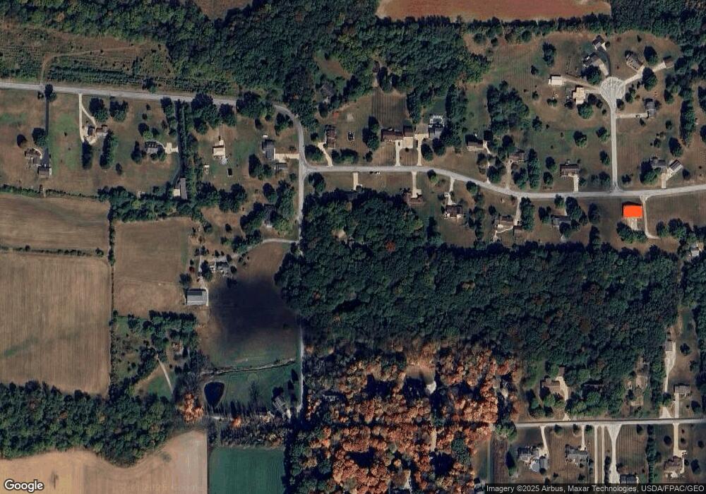
Map
- 7437 E Lincoln Way
- 1043 N Honeytown Rd
- 4273 Canal Rd
- 81 Lerue St
- 3283 Lakeview Dr
- 660/682 N Millborne Rd
- 2442 Pleasant Ridge Rd
- 2530 Tuckahoe Rd
- 9000 Lincoln Way E
- 5069 Back Orrville Rd
- 116 Maple St
- 198 E Main St
- 1565 Willoughby Dr
- 1572 Willoughby Dr
- 2676 Eastwood Dr
- 1181 Point of View Dr
- 2600 Eastwood Dr
- 2983 Tolbert Rd
- 513 Washington St
- 1718 Armadale Isle
- 6045 Chestnut Ridge Dr
- 5964 Secrest Rd
- 5932 Secrest Rd
- 6105 Chestnut Ridge Dr
- 5877 Secrest Rd
- 5818 Secrest Rd
- 6145 Chestnut Ridge Dr
- 6090 Chestnut Ridge Dr
- 5829 Secrest Rd
- 6126 Chestnut Ridge Dr
- 6080 Secrest Rd
- 6120 Secrest Rd
- 5727 Secrest Rd
- 5917 Secrest Rd
- 5794 Secrest Rd
- 6193 Chestnut Ridge Dr
- 6150 Secrest Rd
- 6166 Chestnut Ridge Dr
- 5687 Secrest Rd
- 6039 Secrest Rd
Ask me questions while you tour the home.