6039 Secrest Rd Wooster, OH 44691
Estimated Value: $340,000 - $410,000
About This Home
This home is located at 6039 Secrest Rd, Wooster, OH 44691 and is currently estimated at $371,528, approximately $198 per square foot. 6039 Secrest Rd is a home located in Wayne County with nearby schools including Waynedale High School, Maple Grove, and STONE HILL.
Ownership History
We collect this data history from publicly available records. To have your information removed, we recommend requesting removal directly through your county’s website.
Purchase Details
Home Financials for this Owner
Home Financials are based on the most recent Mortgage that was taken out on this home.Purchase History
We collect this data history from publicly available records. To have your information removed, we recommend requesting removal directly through your county’s website.
| Date | Buyer | Sale Price | Title Company |
|---|---|---|---|
| -- | Servicelink |
Mortgage History
We collect this data history from publicly available records. To have your information removed, we recommend requesting removal directly through your county’s website.
| Date | Status | Borrower | Loan Amount |
|---|---|---|---|
| Closed | $38,000 |
Tax History
We collect this data history from publicly available records. To have your information removed, we recommend requesting removal directly through your county’s website.
| Year | Tax Paid | Tax Assessment Tax Assessment Total Assessment is a certain percentage of the fair market value that is determined by local assessors to be the total taxable value of land and additions on the property. | Land | Improvement |
|---|---|---|---|---|
| 2025 | $3,745 | $104,180 | $28,430 | $75,750 |
| 2024 | $3,745 | $104,180 | $28,430 | $75,750 |
| 2023 | $3,806 | $104,180 | $28,430 | $75,750 |
| 2022 | $2,950 | $73,360 | $20,020 | $53,340 |
| 2021 | $2,956 | $73,360 | $20,020 | $53,340 |
| 2020 | $2,988 | $73,360 | $20,020 | $53,340 |
| 2019 | $2,885 | $69,110 | $18,320 | $50,790 |
| 2018 | $2,997 | $69,110 | $18,320 | $50,790 |
| 2017 | $3,032 | $69,110 | $18,320 | $50,790 |
| 2016 | $2,683 | $60,090 | $15,930 | $44,160 |
| 2015 | $2,487 | $60,090 | $15,930 | $44,160 |
| 2014 | $2,500 | $60,090 | $15,930 | $44,160 |
| 2013 | $2,417 | $55,730 | $14,220 | $41,510 |
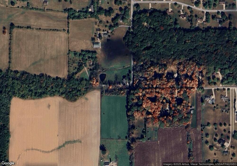
Map
- 7437 E Lincoln Way
- 314 Kountz Dr
- 4273 Canal Rd
- 1043 N Honeytown Rd
- 81 Lerue St
- 3283 Lakeview Dr
- 2442 Pleasant Ridge Rd
- 3208 Fredericksburg Rd
- 660/682 N Millborne Rd
- 2530 Tuckahoe Rd
- 116 Maple St
- 9000 Lincoln Way E
- 198 E Main St
- 2632 Peach Ln
- 1181 Point of View Dr
- 1565 Willoughby Dr
- 31 Shannon Dr
- 1572 Willoughby Dr
- 2676 Eastwood Dr
- 2600 Eastwood Dr
- 6080 Secrest Rd
- 6077 Secrest Rd
- 6120 Secrest Rd
- 6139 Secrest Rd
- 6139 Secrest Rd
- 6041 Secrest Rd
- 5964 Secrest Rd
- 5917 Secrest Rd
- 6150 Secrest Rd
- 6151 Secrest Rd
- 6173 Secrest Rd
- 5932 Secrest Rd
- 5908 Secrest Rd
- 6182 Secrest Rd
- 5877 Secrest Rd
- 6201 Secrest Rd
- 6045 Chestnut Ridge Dr
- 6220 Secrest Rd
- 5687 Secrest Rd
- 6105 Chestnut Ridge Dr
Ask me questions while you tour the home.