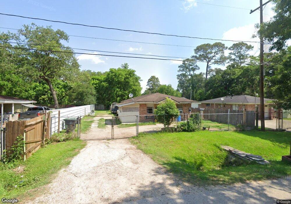
5909 Breland St Houston, TX 77016
East Little York NeighborhoodEstimated Value: $146,000 - $189,000
3
Beds
2
Baths
1,219
Sq Ft
$136/Sq Ft
Est. Value
About This Home
This home is located at 5909 Breland St, Houston, TX 77016 and is currently estimated at $165,183, approximately $135 per square foot. 5909 Breland St is a home located in Harris County with nearby schools including Shadydale Elementary School, Forest Brook Middle, and North Forest High School.
Ownership History
Date
Name
Owned For
Owner Type
Purchase Details
Closed on
May 24, 2002
Sold by
Avalos Abdias C and Avalos Victor Hugo
Bought by
Gamez Oscar
Current Estimated Value
Home Financials for this Owner
Home Financials are based on the most recent Mortgage that was taken out on this home.
Original Mortgage
$39,556
Outstanding Balance
$16,691
Interest Rate
6.92%
Mortgage Type
Purchase Money Mortgage
Estimated Equity
$148,492
Create a Home Valuation Report for This Property
The Home Valuation Report is an in-depth analysis detailing your home's value as well as a comparison with similar homes in the area
Home Values in the Area
Average Home Value in this Area
Purchase History
| Date | Buyer | Sale Price | Title Company |
|---|---|---|---|
| Gamez Oscar | -- | Stewart Title |
Source: Public Records
Mortgage History
| Date | Status | Borrower | Loan Amount |
|---|---|---|---|
| Open | Gamez Oscar | $39,556 |
Source: Public Records
Tax History Compared to Growth
Tax History
| Year | Tax Paid | Tax Assessment Tax Assessment Total Assessment is a certain percentage of the fair market value that is determined by local assessors to be the total taxable value of land and additions on the property. | Land | Improvement |
|---|---|---|---|---|
| 2025 | $686 | $110,620 | $55,303 | $55,317 |
| 2024 | $686 | $101,401 | $48,167 | $53,234 |
| 2023 | $686 | $90,632 | $30,328 | $60,304 |
| 2022 | $1,271 | $78,756 | $30,328 | $48,428 |
| 2021 | $1,223 | $68,309 | $21,408 | $46,901 |
| 2020 | $1,155 | $57,241 | $21,408 | $35,833 |
| 2019 | $1,098 | $47,478 | $14,985 | $32,493 |
| 2018 | $499 | $39,430 | $12,488 | $26,942 |
| 2017 | $947 | $39,430 | $12,488 | $26,942 |
| 2016 | $861 | $34,037 | $7,493 | $26,544 |
| 2015 | $517 | $34,037 | $7,493 | $26,544 |
| 2014 | $517 | $34,037 | $7,493 | $26,544 |
Source: Public Records
Map
Nearby Homes
- 5914 Breland St
- 5203 Mayle St
- 5125 Mayle St
- 5713 Rietta St
- 5715 Rietta St
- 9711 Bertwood St
- 9838 Camay Dr
- 9603 Bertwood St
- 5418 Parker Rd
- 5621 Haywood St
- 4708 Antha St
- 6206 Antha St
- 9705 Peachtree St
- 9410 Dandy St
- 9421 Sandra St
- 6226 E Tidwell Rd
- 9325 Grady St
- 7902 S Lockwood Dr
- 6001 Bretshire Dr
- 5009 Tidwell Rd
- 5911 Breland St
- 5907 Breland St
- 5813 Breland St
- 5813 Breland St Unit B
- 5906 Breland St
- 5809 Breland St
- 9940 Allwood St
- 5830 Pate Rd
- 5912 Pate Rd
- 5826 Pate Rd
- 5814 Breland St
- 5713 Breland St
- 5805 Breland St
- 9934 Allwood St
- 5816 Pate Rd
- 6002 Pate Rd
- 5810 Breland St
- 9947 Bertwood St
- 9930 Allwood St
- 5812 Pate Rd