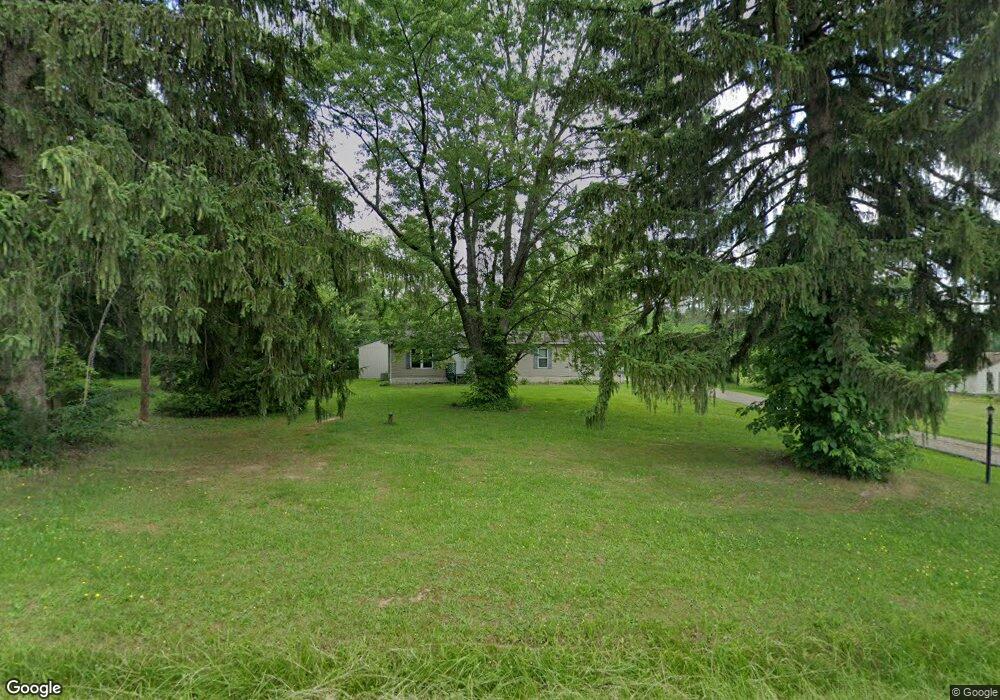
5909 Grove Rd New Franklin, OH 44216
Estimated Value: $246,000 - $311,000
4
Beds
2
Baths
1,711
Sq Ft
$161/Sq Ft
Est. Value
About This Home
This home is located at 5909 Grove Rd, New Franklin, OH 44216 and is currently estimated at $276,000, approximately $161 per square foot. 5909 Grove Rd is a home located in Summit County with nearby schools including Nolley Elementary School, Manchester Middle School, and Manchester High School.
Ownership History
Date
Name
Owned For
Owner Type
Purchase Details
Closed on
May 13, 2021
Sold by
Le Hung Q
Bought by
Le Denise E
Current Estimated Value
Purchase Details
Closed on
Jan 16, 2009
Sold by
Firstmerit Mortgage Corporation
Bought by
Le Hung Q and Le Denise E
Purchase Details
Closed on
Jul 18, 2008
Sold by
Federal National Mortgage Association
Bought by
First Merit Mortgage Corp
Purchase Details
Closed on
Mar 6, 2008
Sold by
Boatright Sandra D
Bought by
Fanniemae and Federal National Mortgage Association
Purchase Details
Closed on
Sep 12, 2001
Sold by
Boatright James Lee
Bought by
Boatright Sandra D
Create a Home Valuation Report for This Property
The Home Valuation Report is an in-depth analysis detailing your home's value as well as a comparison with similar homes in the area
Home Values in the Area
Average Home Value in this Area
Purchase History
| Date | Buyer | Sale Price | Title Company |
|---|---|---|---|
| Le Denise E | -- | None Available | |
| Le Hung Q | $50,000 | Abby Title | |
| First Merit Mortgage Corp | $117,100 | First American Title Ins Co | |
| Fanniemae | $72,000 | Ohio Title Corp | |
| Boatright Sandra D | -- | -- |
Source: Public Records
Tax History
| Year | Tax Paid | Tax Assessment Tax Assessment Total Assessment is a certain percentage of the fair market value that is determined by local assessors to be the total taxable value of land and additions on the property. | Land | Improvement |
|---|---|---|---|---|
| 2024 | $3,437 | $68,723 | $15,271 | $53,452 |
| 2023 | $3,437 | $68,723 | $15,271 | $53,452 |
| 2022 | $3,362 | $52,360 | $11,396 | $40,964 |
| 2021 | $3,374 | $52,360 | $11,396 | $40,964 |
| 2020 | $3,315 | $52,360 | $11,400 | $40,960 |
| 2019 | $3,417 | $48,350 | $14,770 | $33,580 |
| 2018 | $2,949 | $48,350 | $14,770 | $33,580 |
| 2017 | $3,109 | $48,350 | $14,770 | $33,580 |
| 2016 | $3,072 | $46,180 | $14,770 | $31,410 |
| 2015 | $3,109 | $46,180 | $14,770 | $31,410 |
| 2014 | $3,085 | $46,180 | $14,770 | $31,410 |
| 2013 | $3,069 | $46,200 | $14,770 | $31,430 |
Source: Public Records
Map
Nearby Homes
- 5429 Grove Rd
- 1365 Vanderhoof Rd
- 6090 Manchester Rd Unit 6096
- 771 Leeman Dr
- 715 Highland Park Dr
- 6235 Manchester Rd
- 2672 Lyman Dr
- 4698 Manchester Rd
- V/L 1 Grill Rd
- 6300 S Cleveland Massillon Rd
- 2457 Bishop Oval
- 427 Catalina Dr
- 5766 Weaver Rd
- 2688 Himelrigh Blvd
- 5042 Laddie Dr
- 2761 North St
- V/L Monroe Square
- V/L Bishop Oval
- 5813 S Cleveland Massillon Rd
- 3179 Vanderhoof Rd
Your Personal Tour Guide
Ask me questions while you tour the home.