5909 Ray Knight Dr Dexter, MI 48130
Estimated Value: $625,399 - $722,000
5
Beds
4
Baths
2,186
Sq Ft
$313/Sq Ft
Est. Value
About This Home
This home is located at 5909 Ray Knight Dr, Dexter, MI 48130 and is currently estimated at $685,100, approximately $313 per square foot. 5909 Ray Knight Dr is a home located in Washtenaw County with nearby schools including Bates Elementary School, Creekside Intermediate School, and Anchor Elementary School.
Ownership History
Date
Name
Owned For
Owner Type
Purchase Details
Closed on
Feb 26, 2010
Sold by
Dally Donald S and Dally Tiffany R
Bought by
Fitzgerald Richard W and Fitzgerald Catherine M
Current Estimated Value
Create a Home Valuation Report for This Property
The Home Valuation Report is an in-depth analysis detailing your home's value as well as a comparison with similar homes in the area
Home Values in the Area
Average Home Value in this Area
Purchase History
| Date | Buyer | Sale Price | Title Company |
|---|---|---|---|
| Fitzgerald Richard W | $312,500 | Title One Inc |
Source: Public Records
Tax History Compared to Growth
Tax History
| Year | Tax Paid | Tax Assessment Tax Assessment Total Assessment is a certain percentage of the fair market value that is determined by local assessors to be the total taxable value of land and additions on the property. | Land | Improvement |
|---|---|---|---|---|
| 2025 | $2,172 | $301,900 | $0 | $0 |
| 2024 | $2,110 | $307,600 | $0 | $0 |
| 2023 | $2,009 | $254,400 | $0 | $0 |
| 2022 | $6,901 | $247,400 | $0 | $0 |
| 2021 | $6,619 | $229,400 | $0 | $0 |
| 2020 | $6,524 | $224,200 | $0 | $0 |
| 2019 | $6,357 | $212,200 | $212,200 | $0 |
| 2018 | $6,268 | $218,600 | $28,200 | $190,400 |
| 2017 | $6,010 | $218,600 | $0 | $0 |
| 2016 | $1,728 | $162,575 | $0 | $0 |
| 2015 | -- | $162,089 | $0 | $0 |
| 2014 | -- | $151,120 | $0 | $0 |
| 2013 | -- | $151,120 | $0 | $0 |
Source: Public Records
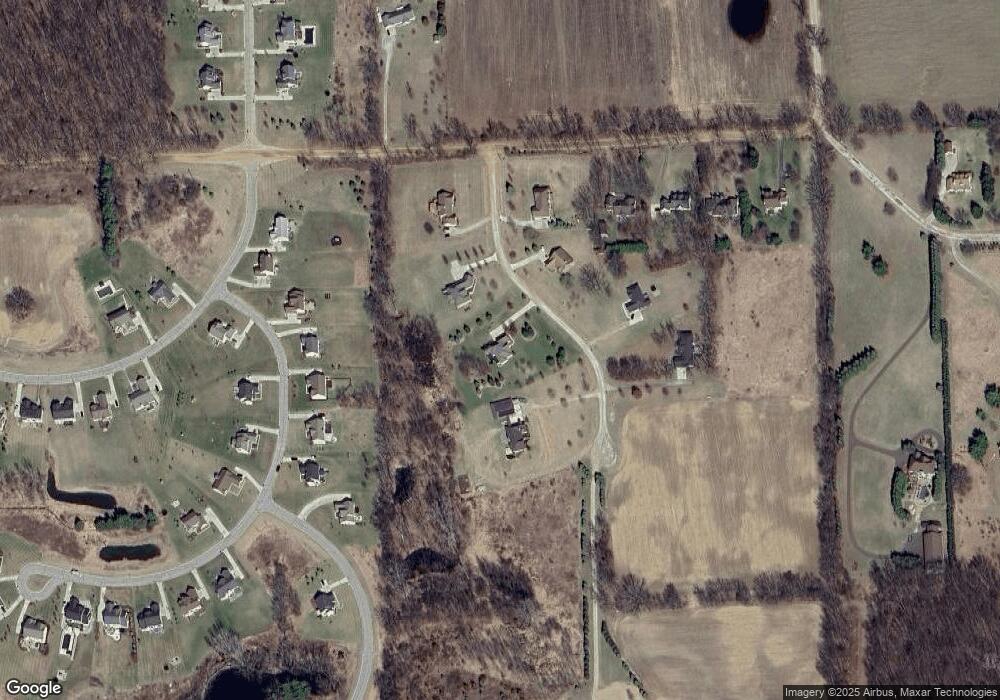
Map
Nearby Homes
- 11490 Castleton Ct
- 6470 Earl June Ct
- 11655 Hillside Dr
- 6525 Earl June Ct
- 11760 Hillside Dr
- 11780 Hillside Dr
- 0 N Territorial Unit 25014835
- 7400 Dexter Townhall Rd
- 6441 Huron Creek Ct
- 4975 Westwind Dr
- 0 Alice Hill Rd
- 6524 Reilly Dr
- 13360 N Territorial Rd
- 8044 Dexter-Pinckney Rd
- 13493 Riker Rd
- 10146 Island Lake Rd
- 10265 Island Lake Rd
- 7261 N Lake Orchard Dr
- 9098 Dexter-Pinckney Rd
- 9623 Winston Rd
- 5857 Ray Knight Dr
- 0 Ray Knight Dr
- 5947 Ray Knight Dr
- 5938 Ray Knight Dr
- 5975 Ray Knight Dr
- 5976 Ray Knight Dr
- 5878 Tyler Ct
- 5876 Tyler Ct
- 5894 Ray Knight Dr
- 5870 Tyler Ct
- 5880 Tyler Ct
- 10807 Quigley Rd
- 5862 Ray Knight Dr
- 5868 Tyler Ct
- 5790 Libby Ct
- 5936 Sterling Trail
- 10781 Quigley Rd
- 0 Tyler Ct
- 5877 Tyler Ct
- 10755 Quigley Rd