Estimated Value: $200,000 - $373,000
4
Beds
3
Baths
2,104
Sq Ft
$129/Sq Ft
Est. Value
About This Home
This home is located at 59099 S 4744 Rd, Watts, OK 74964 and is currently estimated at $270,771, approximately $128 per square foot. 59099 S 4744 Rd is a home with nearby schools including Watts Elementary School and Watts High School.
Ownership History
Date
Name
Owned For
Owner Type
Purchase Details
Closed on
Jun 3, 2016
Sold by
Gatewood Roaer Dale
Bought by
Blackmon Jeremy Allen and Blackmon Holly Renee
Current Estimated Value
Purchase Details
Closed on
Sep 4, 2012
Sold by
Shepherd Dorothy L and Shepherd Frank D
Bought by
Gatewood Roger Dale and Gatewood Kathryn Ann
Home Financials for this Owner
Home Financials are based on the most recent Mortgage that was taken out on this home.
Original Mortgage
$98,382
Interest Rate
3.56%
Mortgage Type
Purchase Money Mortgage
Create a Home Valuation Report for This Property
The Home Valuation Report is an in-depth analysis detailing your home's value as well as a comparison with similar homes in the area
Home Values in the Area
Average Home Value in this Area
Purchase History
| Date | Buyer | Sale Price | Title Company |
|---|---|---|---|
| Blackmon Jeremy Allen | $100,000 | None Available | |
| Gatewood Roger Dale | $92,000 | None Available |
Source: Public Records
Mortgage History
| Date | Status | Borrower | Loan Amount |
|---|---|---|---|
| Previous Owner | Gatewood Roger Dale | $98,382 |
Source: Public Records
Tax History Compared to Growth
Tax History
| Year | Tax Paid | Tax Assessment Tax Assessment Total Assessment is a certain percentage of the fair market value that is determined by local assessors to be the total taxable value of land and additions on the property. | Land | Improvement |
|---|---|---|---|---|
| 2025 | $649 | $9,893 | $1,147 | $8,746 |
| 2024 | $628 | $9,604 | $1,113 | $8,491 |
| 2023 | $628 | $9,325 | $1,068 | $8,257 |
| 2022 | $588 | $9,053 | $1,018 | $8,035 |
| 2021 | $661 | $9,053 | $1,018 | $8,035 |
| 2020 | $679 | $9,295 | $1,018 | $8,277 |
| 2019 | $679 | $9,295 | $1,018 | $8,277 |
| 2018 | $828 | $11,750 | $1,018 | $10,732 |
| 2017 | $837 | $11,873 | $1,018 | $10,855 |
| 2016 | $714 | $11,131 | $778 | $10,353 |
| 2015 | $691 | $10,807 | $778 | $10,029 |
| 2014 | $691 | $10,808 | $778 | $10,030 |
Source: Public Records
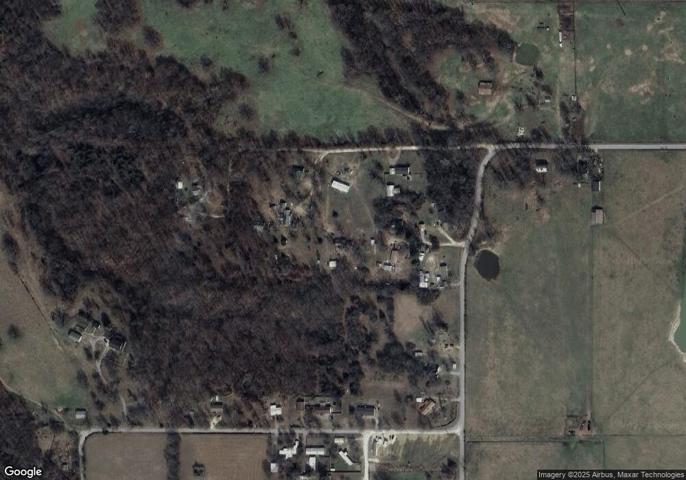
Map
Nearby Homes
- 473298 E County Road 660
- 873 Snyder Springs Loop
- 474677 E 611 Rd
- 63125 S 4750 Rd
- 63155 S 4700 Rd
- 0 S 608 Rd Unit 2028649
- 114 Main St
- 25036 Lake Frances Rd
- 22750 W Spring Harbor Rd
- TBD Lake Francis Rd
- 0 Riverdale Rd
- 0 Marsh Rd
- 0 S 4730 Road1
- 475834 E 649 Rd
- 64594 S 4725 Rd
- 21940 Sawmill Rd
- 21260 Nicodemus Church Rd
- 3902 Short Ln
- 64677 S 4710 Rd
- 0000 Elm St S
- 65311 Highway 59
- 66818 Highway 59
- 63480 Highway 59
- 63578 Highway 59
- 66818 Highway 59
- 66044 S 4730 Rd
- 60751 S 4748 Rd
- 473182 E 610 Rd
- 65459 S 4743 Rd
- 462648 Chewy Dr
- 473542 E 610 Rd
- 462413 Oakball Dr
- 462615 Oakball Dr
- 65166 S 4730 Rd
- 64559 S 4740 Rd
- 63298 S 4734 Rd
- 60325 S 4748 Rd
- 63514 Highway 59
- 462600 Chewy Dr
- 65435 S 4743 Rd