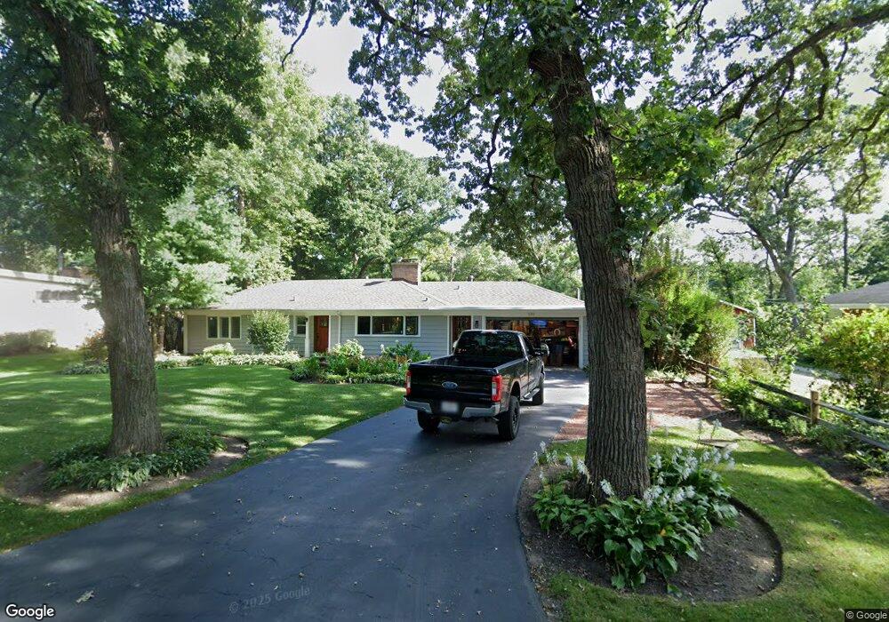
591 Brookside Rd Unit 2 North Barrington, IL 60010
Estimated Value: $295,934 - $470,000
--
Bed
1
Bath
1,290
Sq Ft
$311/Sq Ft
Est. Value
About This Home
This home is located at 591 Brookside Rd Unit 2, North Barrington, IL 60010 and is currently estimated at $400,984, approximately $310 per square foot. 591 Brookside Rd Unit 2 is a home located in Lake County with nearby schools including North Barrington Elementary School, Barrington Mdle School- Prairie Cmps, and Barrington High School.
Ownership History
Date
Name
Owned For
Owner Type
Purchase Details
Closed on
Nov 4, 2002
Sold by
Rumsey John P
Bought by
Rumsey John P and Rumsey Julie Marie
Current Estimated Value
Home Financials for this Owner
Home Financials are based on the most recent Mortgage that was taken out on this home.
Original Mortgage
$182,000
Outstanding Balance
$76,848
Interest Rate
6.13%
Estimated Equity
$324,136
Purchase Details
Closed on
Dec 2, 1996
Sold by
Kieffer Karl E
Bought by
Rumsey John P
Home Financials for this Owner
Home Financials are based on the most recent Mortgage that was taken out on this home.
Original Mortgage
$169,000
Interest Rate
7.73%
Create a Home Valuation Report for This Property
The Home Valuation Report is an in-depth analysis detailing your home's value as well as a comparison with similar homes in the area
Home Values in the Area
Average Home Value in this Area
Purchase History
| Date | Buyer | Sale Price | Title Company |
|---|---|---|---|
| Rumsey John P | -- | Chicago Title Insurance Co | |
| Rumsey John P | $189,000 | 1St American Title |
Source: Public Records
Mortgage History
| Date | Status | Borrower | Loan Amount |
|---|---|---|---|
| Open | Rumsey John P | $182,000 | |
| Previous Owner | Rumsey John P | $169,000 |
Source: Public Records
Tax History Compared to Growth
Tax History
| Year | Tax Paid | Tax Assessment Tax Assessment Total Assessment is a certain percentage of the fair market value that is determined by local assessors to be the total taxable value of land and additions on the property. | Land | Improvement |
|---|---|---|---|---|
| 2024 | $4,589 | $75,838 | $12,409 | $63,429 |
| 2023 | $4,637 | $71,884 | $11,762 | $60,122 |
| 2022 | $4,637 | $70,549 | $13,306 | $57,243 |
| 2021 | $4,576 | $69,350 | $13,080 | $56,270 |
| 2020 | $4,451 | $69,136 | $13,040 | $56,096 |
| 2019 | $4,609 | $72,301 | $12,696 | $59,605 |
| 2018 | $4,189 | $68,252 | $15,127 | $53,125 |
| 2017 | $4,131 | $66,881 | $14,823 | $52,058 |
| 2016 | $4,087 | $64,358 | $14,264 | $50,094 |
| 2015 | $3,824 | $60,362 | $13,378 | $46,984 |
| 2014 | $4,331 | $63,716 | $13,419 | $50,297 |
| 2012 | $4,205 | $64,812 | $13,650 | $51,162 |
Source: Public Records
Map
Nearby Homes
- 600 Eton Dr
- 25 Shoreline Rd Unit B
- 78 Foxwood Ln Unit M169
- 59 Thornhill Ln Unit K176
- 68 Thornhill Ln
- 208 Biltmore Dr
- 220 Thornhill Ct Unit D
- 240 Oxford Rd
- 209 Shoreline Rd Unit B
- 24334 N Grandview Dr
- 294 Mallard Point Unit A
- 321 Shoreline Rd Unit D
- 557 Signal Hill Rd
- 455 Eton Dr
- 47 S Wynstone Dr
- 535 Woodview Rd
- 404 N Shoreline Rd Unit 298
- 868 Longmeadow Ct Unit 1006
- 315 Bluff Ct Unit C
- 928 Longmeadow Ct Unit 1016
- 587 Brookside Rd
- 588 Eton Dr
- 595 Brookside Rd
- 584 Eton Dr
- 583 Brookside Rd Unit 2
- 594 Brookside Rd Unit 2
- 584 Brookside Rd Unit 2
- 589 Eton Dr
- 601 Brookside Rd
- 598 Eton Dr
- 254 Woodland Dr
- 267 Woodland Dr
- 597 Eton Dr Unit 2
- 263 Woodland Dr
- 584 Crooked Ln
- 591 Glen Cir
- 278 Woodland Dr
- 250 Woodland Dr
- 604 Brookside Rd
- 255 Woodland Dr Unit 2