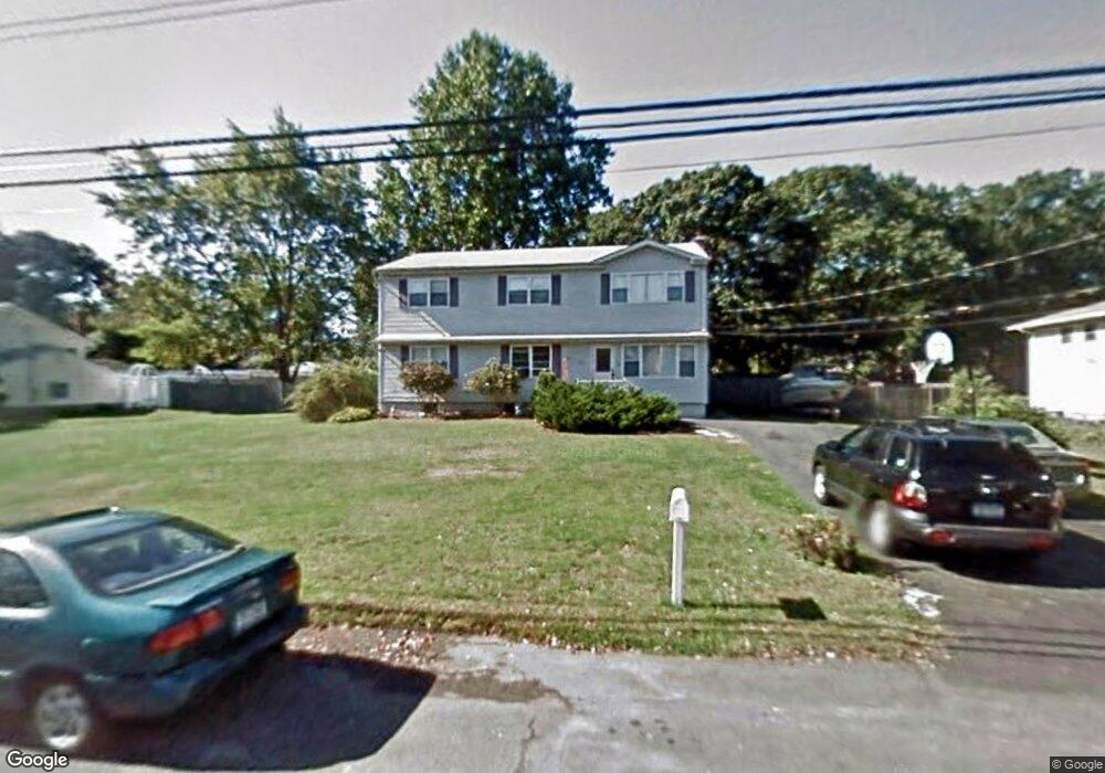
591 East Dr Lindenhurst, NY 11757
Estimated Value: $640,949 - $803,000
--
Bed
--
Bath
2,288
Sq Ft
$315/Sq Ft
Est. Value
About This Home
This home is located at 591 East Dr, Lindenhurst, NY 11757 and is currently estimated at $719,987, approximately $314 per square foot. 591 East Dr is a home located in Suffolk County with nearby schools including Daniel Street School, Lindenhurst Middle School, and Lindenhurst Senior High School.
Ownership History
Date
Name
Owned For
Owner Type
Purchase Details
Closed on
Jul 29, 2005
Current Estimated Value
Purchase Details
Closed on
Feb 17, 2000
Sold by
Frank Frances
Bought by
Frank Frances and Osullivan Toni Ann
Home Financials for this Owner
Home Financials are based on the most recent Mortgage that was taken out on this home.
Original Mortgage
$127,500
Interest Rate
8.31%
Create a Home Valuation Report for This Property
The Home Valuation Report is an in-depth analysis detailing your home's value as well as a comparison with similar homes in the area
Home Values in the Area
Average Home Value in this Area
Purchase History
| Date | Buyer | Sale Price | Title Company |
|---|---|---|---|
| -- | -- | -- | |
| Frank Frances | -- | -- |
Source: Public Records
Mortgage History
| Date | Status | Borrower | Loan Amount |
|---|---|---|---|
| Closed | Frank Frances | $127,500 |
Source: Public Records
Tax History Compared to Growth
Tax History
| Year | Tax Paid | Tax Assessment Tax Assessment Total Assessment is a certain percentage of the fair market value that is determined by local assessors to be the total taxable value of land and additions on the property. | Land | Improvement |
|---|---|---|---|---|
| 2024 | $15,583 | $4,120 | $500 | $3,620 |
| 2023 | $13,666 | $4,120 | $500 | $3,620 |
| 2022 | $11,487 | $4,120 | $500 | $3,620 |
| 2021 | $11,487 | $4,120 | $500 | $3,620 |
| 2020 | $12,054 | $4,120 | $500 | $3,620 |
| 2019 | $13,756 | $0 | $0 | $0 |
| 2018 | $11,397 | $4,120 | $500 | $3,620 |
| 2017 | $11,397 | $4,120 | $500 | $3,620 |
| 2016 | $11,434 | $4,120 | $500 | $3,620 |
| 2015 | -- | $4,120 | $500 | $3,620 |
| 2014 | -- | $4,120 | $500 | $3,620 |
Source: Public Records
Map
Nearby Homes
- 34 Karen St
- 1701 Alto St
- 669 East Dr
- 825 Weber Ave
- 166 & 170 Woodrow Pkwy
- 792 Glendale Rd
- 475 N Putnam Ave
- 16 Della Dr
- 833 Bermuda Rd
- 404 N Putnam Ave
- 436 N Ontario Ave
- 7 Rosella Ct
- 1 Puritan Place
- 805 Arlington Rd
- 465 N Monroe Ave
- 104 Golding Ave
- 457 N Monroe Ave
- 417 N Monroe Ave
- 31 Fuller Ave
- 557 N Kings Ave