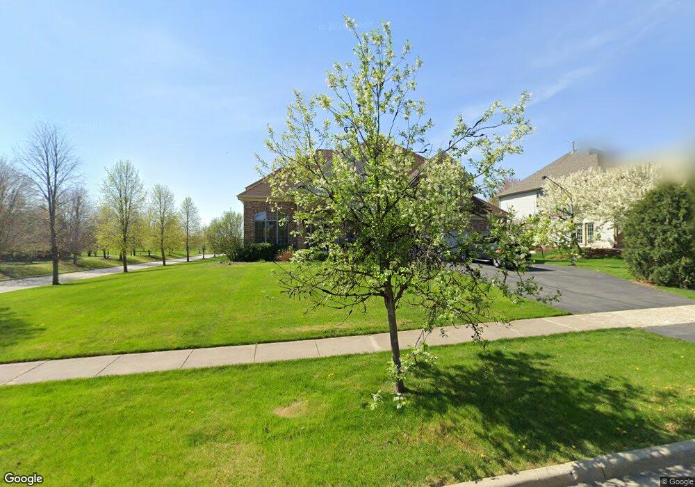
591 Mallard Point Dr Unit DDR North Aurora, IL 60542
Estimated Value: $613,484 - $813,000
4
Beds
--
Bath
3,853
Sq Ft
$188/Sq Ft
Est. Value
About This Home
This home is located at 591 Mallard Point Dr Unit DDR, North Aurora, IL 60542 and is currently estimated at $725,371, approximately $188 per square foot. 591 Mallard Point Dr Unit DDR is a home located in Kane County with nearby schools including Goodwin Elementary School, Jewel Middle School, and West Aurora High School.
Ownership History
Date
Name
Owned For
Owner Type
Purchase Details
Closed on
Sep 25, 2016
Sold by
Jamie Soprych
Bought by
Soprych Brian
Current Estimated Value
Purchase Details
Closed on
Nov 29, 2007
Sold by
Gladstone Acquisitions Llc
Bought by
Soprych Brian and Soprych Jamie
Home Financials for this Owner
Home Financials are based on the most recent Mortgage that was taken out on this home.
Original Mortgage
$415,000
Interest Rate
6.33%
Mortgage Type
Purchase Money Mortgage
Create a Home Valuation Report for This Property
The Home Valuation Report is an in-depth analysis detailing your home's value as well as a comparison with similar homes in the area
Home Values in the Area
Average Home Value in this Area
Purchase History
| Date | Buyer | Sale Price | Title Company |
|---|---|---|---|
| Soprych Brian | -- | None Listed On Document | |
| Soprych Brian | $546,000 | Chicago Title Insurance Co |
Source: Public Records
Mortgage History
| Date | Status | Borrower | Loan Amount |
|---|---|---|---|
| Previous Owner | Soprych Brian | $415,000 |
Source: Public Records
Tax History Compared to Growth
Tax History
| Year | Tax Paid | Tax Assessment Tax Assessment Total Assessment is a certain percentage of the fair market value that is determined by local assessors to be the total taxable value of land and additions on the property. | Land | Improvement |
|---|---|---|---|---|
| 2024 | $12,535 | $174,756 | $30,147 | $144,609 |
| 2023 | $12,255 | $158,610 | $27,362 | $131,248 |
| 2022 | $11,754 | $148,234 | $25,572 | $122,662 |
| 2021 | $11,442 | $140,586 | $24,253 | $116,333 |
| 2020 | $11,408 | $137,884 | $23,787 | $114,097 |
| 2019 | $11,546 | $133,003 | $22,945 | $110,058 |
| 2018 | $11,462 | $127,937 | $22,071 | $105,866 |
| 2017 | $11,474 | $123,718 | $21,343 | $102,375 |
| 2016 | $11,460 | $120,114 | $20,721 | $99,393 |
| 2015 | -- | $117,379 | $20,249 | $97,130 |
| 2014 | -- | $113,685 | $19,612 | $94,073 |
| 2013 | -- | $111,466 | $19,229 | $92,237 |
Source: Public Records
Map
Nearby Homes
- 459 Prairie Ridge Ln
- 572 Quail Ln
- 460 Prairie Ridge Ln
- 556 Quail St
- 448 Prairie Ridge Ln
- 444 Prairie Ridge Ln
- 415 Juniper Dr
- 413 N Sycamore Ln
- 451 Pheasant Hill Dr
- 406 Juniper Dr
- 355 Hilltop Dr
- 952 Darwin St
- 220 Larchwood Ln
- 1 N Sycamore Ln
- 310 Oak St
- 307 Hill Ave
- 328 W State St
- 43 S Juniper Dr Unit 3
- 109 E Victoria Cir Unit 7/5
- 203 E Victoria Cir Unit 9/2
- 587 Mallard Point Dr
- 531 Prairie Ridge Ln Unit 1
- 583 Mallard Point Dr
- 544 Moose Lake Ave
- 535 Prairie Ridge Ln Unit 1
- 590 Mallard Point Dr
- 523 Prairie Ridge Ln
- 539 Prairie Ridge Ln
- 579 Mallard Point Dr
- 586 Mallard Point Dr
- 540 Moose Lake Ave
- 582 Mallard Point Dr Unit 1
- 543 Prairie Ridge Ln
- 519 Prairie Ridge Ln
- 578 Mallard Point Dr
- 575 Mallard Point Dr
- 541 Moose Lake Ave
- 536 Moose Lake Ave
- 574 Mallard Point Dr
- 547 Prairie Ridge Ln