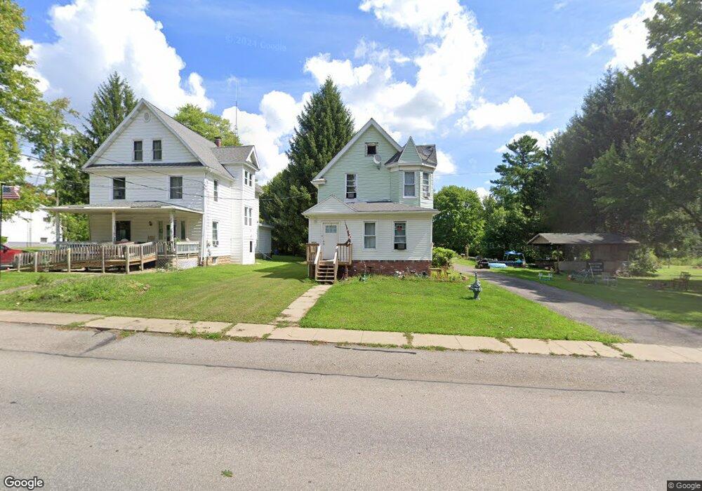
591 Penn St Linesville, PA 16424
Estimated Value: $99,545 - $143,000
--
Bed
--
Bath
--
Sq Ft
0.36
Acres
About This Home
This home is located at 591 Penn St, Linesville, PA 16424 and is currently estimated at $128,386. 591 Penn St is a home located in Crawford County with nearby schools including Conneaut Valley Elementary School, Conneaut Valley Middle School, and Conneaut Area Senior High School.
Ownership History
Date
Name
Owned For
Owner Type
Purchase Details
Closed on
Oct 3, 2025
Sold by
Gibson Melissa L and Gibson Robert D
Bought by
Results Homebuyers Inc
Current Estimated Value
Home Financials for this Owner
Home Financials are based on the most recent Mortgage that was taken out on this home.
Original Mortgage
$107,300
Outstanding Balance
$107,300
Interest Rate
6.58%
Mortgage Type
Credit Line Revolving
Estimated Equity
$21,086
Purchase Details
Closed on
Feb 7, 2023
Sold by
Richards James L and Richards Barbara
Bought by
Gibson Melissa L and Gibson Robert D
Purchase Details
Closed on
Jan 24, 2017
Sold by
Richard James L
Bought by
Richards James L and Richards Barbara
Home Financials for this Owner
Home Financials are based on the most recent Mortgage that was taken out on this home.
Original Mortgage
$86,766
Interest Rate
4.32%
Mortgage Type
New Conventional
Create a Home Valuation Report for This Property
The Home Valuation Report is an in-depth analysis detailing your home's value as well as a comparison with similar homes in the area
Home Values in the Area
Average Home Value in this Area
Purchase History
| Date | Buyer | Sale Price | Title Company |
|---|---|---|---|
| Results Homebuyers Inc | $107,000 | Simplifile (Recording Service) | |
| Gibson Melissa L | $168,000 | None Listed On Document | |
| Richards James L | -- | Servicelink |
Source: Public Records
Mortgage History
| Date | Status | Borrower | Loan Amount |
|---|---|---|---|
| Open | Results Homebuyers Inc | $107,300 | |
| Previous Owner | Richards James L | $86,766 |
Source: Public Records
Tax History Compared to Growth
Tax History
| Year | Tax Paid | Tax Assessment Tax Assessment Total Assessment is a certain percentage of the fair market value that is determined by local assessors to be the total taxable value of land and additions on the property. | Land | Improvement |
|---|---|---|---|---|
| 2025 | $730 | $19,708 | $2,000 | $17,708 |
| 2024 | $1,746 | $19,708 | $2,000 | $17,708 |
| 2023 | $1,746 | $19,708 | $2,000 | $17,708 |
| 2022 | $1,746 | $19,708 | $2,000 | $17,708 |
| 2021 | $1,746 | $19,708 | $2,000 | $17,708 |
| 2020 | $1,746 | $19,708 | $2,000 | $17,708 |
| 2019 | $1,746 | $19,708 | $2,000 | $17,708 |
| 2018 | $1,672 | $19,708 | $2,000 | $17,708 |
| 2017 | $1,590 | $18,743 | $2,000 | $16,743 |
| 2016 | $638 | $18,743 | $2,000 | $16,743 |
| 2015 | $638 | $18,743 | $2,000 | $16,743 |
| 2014 | -- | $18,743 | $2,000 | $16,743 |
Source: Public Records
Map
Nearby Homes
- 351 Homestead Ave
- 14711 Wallace Avenue Extension
- 218 S Mercer St
- 126 E Erie St
- 3+ /- Acres on 3+ - Acres On Phelps Rd
- 15287 Airport Rd
- 15916 Airport Rd
- 0 Conaway Rd
- 17263 Airport Rd
- 0 Hickory Dr
- 2149 Aldee Dr
- 12490 Ash Dr
- 1793 Stuart Ave
- 2057 Mccann Dr
- 2090 Butternut Dr
- 0 Linn & Fries Roads Unit 184346
- 1765 Wyandott Dr
- 1364 Sioux Ln
- 11078 Taft Ave
- 3+ /- Acres on Phelps Rd