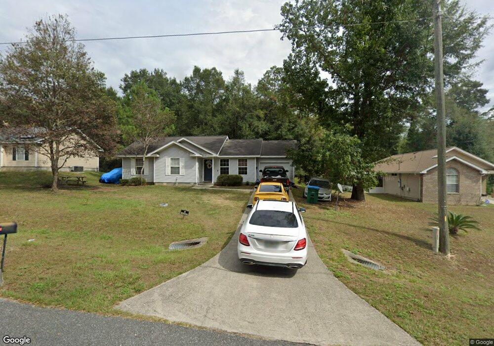
591 Sand Pine Dr Midway, FL 32343
Estimated Value: $178,000 - $247,000
3
Beds
2
Baths
1,029
Sq Ft
$205/Sq Ft
Est. Value
About This Home
This home is located at 591 Sand Pine Dr, Midway, FL 32343 and is currently estimated at $211,275, approximately $205 per square foot. 591 Sand Pine Dr is a home located in Gadsden County.
Ownership History
Date
Name
Owned For
Owner Type
Purchase Details
Closed on
Jul 24, 2007
Sold by
Russell Construction Group Inc
Bought by
Wade Booker T
Current Estimated Value
Home Financials for this Owner
Home Financials are based on the most recent Mortgage that was taken out on this home.
Original Mortgage
$102,261
Outstanding Balance
$64,614
Interest Rate
6.71%
Mortgage Type
FHA
Estimated Equity
$146,661
Purchase Details
Closed on
May 12, 2006
Sold by
Jlt Development Llc
Bought by
Russell Construction Group Inc
Home Financials for this Owner
Home Financials are based on the most recent Mortgage that was taken out on this home.
Original Mortgage
$50,000
Interest Rate
6.39%
Mortgage Type
Unknown
Create a Home Valuation Report for This Property
The Home Valuation Report is an in-depth analysis detailing your home's value as well as a comparison with similar homes in the area
Home Values in the Area
Average Home Value in this Area
Purchase History
| Date | Buyer | Sale Price | Title Company |
|---|---|---|---|
| Wade Booker T | $130,000 | Attorney | |
| Russell Construction Group Inc | $50,000 | Lawyers Title |
Source: Public Records
Mortgage History
| Date | Status | Borrower | Loan Amount |
|---|---|---|---|
| Open | Wade Booker T | $102,261 | |
| Previous Owner | Russell Construction Group Inc | $50,000 |
Source: Public Records
Tax History Compared to Growth
Tax History
| Year | Tax Paid | Tax Assessment Tax Assessment Total Assessment is a certain percentage of the fair market value that is determined by local assessors to be the total taxable value of land and additions on the property. | Land | Improvement |
|---|---|---|---|---|
| 2024 | $884 | $89,641 | -- | -- |
| 2023 | $846 | $87,031 | $0 | $0 |
| 2022 | $801 | $84,497 | $0 | $0 |
| 2021 | $774 | $82,036 | $0 | $0 |
| 2020 | $752 | $80,904 | $0 | $0 |
| 2019 | $733 | $79,085 | $0 | $0 |
| 2018 | $725 | $77,610 | $0 | $0 |
| 2017 | $696 | $76,014 | $0 | $0 |
| 2016 | $686 | $74,721 | $0 | $0 |
| 2015 | $687 | $74,202 | $0 | $0 |
| 2014 | $675 | $73,613 | $0 | $0 |
Source: Public Records
Map
Nearby Homes
- 17 Pine Bark Ln
- 25 Pine Bark Ln
- 0 Central Rd
- 81 Knight Rd
- 6 Slash Ln
- 7 Mae Cato Dr
- 34 Frank Run
- 164 Deloris Madison Dr
- 137 Monroe Creek Dr
- 65 Deloris Madison Dr
- 920 Rustling Pines Blvd
- 8877 High Bridge Rd
- 8873 High Bridge Rd
- 274 Forest Cir S
- 69 Buckskin Cir
- 325 Mine Rd
- 327 Hayward Dupont St
- 0 Hayward Dupont St Unit 380560
- 0 Hayward Dupont St Unit 386501
- 0 Hayward Dupont St Unit 380558
- 577 Sand Pine Dr
- 605 Sand Pine Dr
- 565 Sand Pine Dr
- 623 Sand Pine Dr
- 553 Sand Pine Dr Unit 1
- 553 Sand Pine Dr
- 0 Pine Bark Trail Unit A4527999
- 519 Sand Pine Dr
- 30 Pine Bark Trail Unit o
- 30 Pine Bark Trail
- 515 Sand Pine Dr
- 25 Pine Bark Ln
- 54 Pine Bark Trail
- 560 Sand Pine Cir
- 0 Pine Bark Ln Unit 261739
- 33 Pine Bark Ln
- 501 Sand Pine Dr
- 570 Sand Pine Dr
- 554 Sand Pine Cir
- 554 Sand Pine Cir