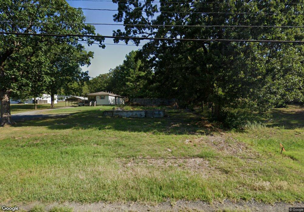
5910 Mac Arthur Dr North Little Rock, AR 72118
Amboy NeighborhoodEstimated Value: $73,792 - $88,000
--
Bed
--
Bath
952
Sq Ft
$87/Sq Ft
Est. Value
About This Home
This home is located at 5910 Mac Arthur Dr, North Little Rock, AR 72118 and is currently estimated at $82,931, approximately $87 per square foot. 5910 Mac Arthur Dr is a home located in Pulaski County with nearby schools including Amboy Elementary School, North Little Rock Middle School 6th Grade Campus, and North Little Rock High School.
Ownership History
Date
Name
Owned For
Owner Type
Purchase Details
Closed on
May 26, 2022
Sold by
Cagle Ralph
Bought by
Fernandez Juan Carlos and Rangel Claudia Zuniga
Current Estimated Value
Purchase Details
Closed on
Mar 29, 2017
Sold by
Rea Rental Company Llc
Bought by
Cagle Ralph M
Purchase Details
Closed on
Nov 19, 2003
Sold by
Freespirit Lawn Care Co
Bought by
Cagle Ralph
Create a Home Valuation Report for This Property
The Home Valuation Report is an in-depth analysis detailing your home's value as well as a comparison with similar homes in the area
Home Values in the Area
Average Home Value in this Area
Purchase History
| Date | Buyer | Sale Price | Title Company |
|---|---|---|---|
| Fernandez Juan Carlos | $9,000 | -- | |
| Cagle Ralph M | $50,000 | None Available | |
| Cagle Ralph | $6,000 | -- |
Source: Public Records
Tax History Compared to Growth
Tax History
| Year | Tax Paid | Tax Assessment Tax Assessment Total Assessment is a certain percentage of the fair market value that is determined by local assessors to be the total taxable value of land and additions on the property. | Land | Improvement |
|---|---|---|---|---|
| 2025 | $369 | $5,527 | $2,619 | $2,908 |
| 2024 | $369 | $5,527 | $2,619 | $2,908 |
| 2023 | $369 | $5,527 | $2,619 | $2,908 |
| 2022 | $369 | $5,527 | $2,619 | $2,908 |
| 2021 | $379 | $5,680 | $3,220 | $2,460 |
| 2020 | $379 | $5,680 | $3,220 | $2,460 |
| 2019 | $379 | $5,680 | $3,220 | $2,460 |
| 2018 | $379 | $5,680 | $3,220 | $2,460 |
| 2017 | $321 | $5,680 | $3,220 | $2,460 |
| 2016 | $292 | $5,320 | $1,200 | $4,120 |
| 2015 | $273 | $4,081 | $1,200 | $2,881 |
| 2014 | $273 | $3,501 | $1,200 | $2,301 |
Source: Public Records
Map
Nearby Homes
- 5700 & 5704 Sorenson
- 160 Sunset Dr
- 47 Sunset Dr
- 5633 Sonora Dr
- 5613 Sonora Dr
- 3017 Parkway Dr
- 5601 Sonora Dr
- 00 La Marche Lateral Rd
- 0 Trapp Rd Unit 25008039
- 2215 Coors Dr
- 2304 Ella Ct
- 261 E Military Dr
- 17 Sunset Dr
- 7 Amber Ln
- 702 E Military Dr
- 4920 Lee St
- 409 Harper Ln
- 5709 Shamrock Dr
- 2500 North Dr
- 1900 Broken Arrow Dr
- 5908 Macarthur Dr
- 5912 Mac Arthur Dr
- 5904 Mac Arthur Dr
- 5900 Mac Arthur Dr
- 118 High St
- 120 High St
- 5826 Mac Arthur Dr
- 5822 Mac Arthur Dr
- 5815 Mac Arthur Dr
- 5818 Mac Arthur Dr
- 6000 Macarthur Dr
- 6000 Mac Arthur Dr
- 5814 Mac Arthur Dr
- 0 High St
- 5810 Mac Arthur Dr
- 119 Sunset Dr
- 121 Sunset Dr
- 5806 Mac Arthur Dr
- 128 High St
- 126 High St