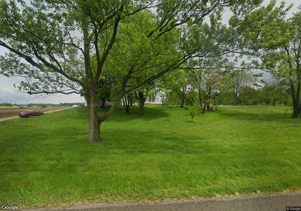
5910 S 1000 W Anderson, IN 46012
Estimated Value: $249,953
4
Beds
2
Baths
1,512
Sq Ft
$165/Sq Ft
Est. Value
About This Home
This home is located at 5910 S 1000 W, Anderson, IN 46012 and is currently priced at $249,953, approximately $165 per square foot. 5910 S 1000 W is a home located in Delaware County with nearby schools including Daleville Elementary School and Daleville Junior/Senior High School.
Ownership History
Date
Name
Owned For
Owner Type
Purchase Details
Closed on
Dec 4, 2024
Sold by
Schlegel Family Farm Llc
Bought by
Reed Susan K
Current Estimated Value
Purchase Details
Closed on
Jan 8, 2016
Sold by
Barrett Jo Ellen and Schlegel Patrick J
Bought by
Schlegel Family Farm Llc
Purchase Details
Closed on
May 13, 2010
Sold by
Schlegel Marjorie and Schlegel Ralph E
Bought by
Lehman Darro W and Lehman Katrina S
Home Financials for this Owner
Home Financials are based on the most recent Mortgage that was taken out on this home.
Original Mortgage
$113,372
Interest Rate
5.12%
Mortgage Type
FHA
Purchase Details
Closed on
Sep 24, 2009
Sold by
Schlegel Marjorie J
Bought by
Barrett Jo Ellen and Schlegel Patrick J
Create a Home Valuation Report for This Property
The Home Valuation Report is an in-depth analysis detailing your home's value as well as a comparison with similar homes in the area
Home Values in the Area
Average Home Value in this Area
Purchase History
| Date | Buyer | Sale Price | Title Company |
|---|---|---|---|
| Reed Susan K | -- | In Title | |
| Deer Field Farms Llc | -- | In Title | |
| Schlegel Family Farm Llc | -- | -- | |
| Lehman Darro W | -- | Rowland Title | |
| Barrett Jo Ellen | -- | -- |
Source: Public Records
Mortgage History
| Date | Status | Borrower | Loan Amount |
|---|---|---|---|
| Previous Owner | Lehman Darro W | $113,372 |
Source: Public Records
Tax History Compared to Growth
Tax History
| Year | Tax Paid | Tax Assessment Tax Assessment Total Assessment is a certain percentage of the fair market value that is determined by local assessors to be the total taxable value of land and additions on the property. | Land | Improvement |
|---|---|---|---|---|
| 2024 | $2,119 | $207,100 | $207,100 | $0 |
| 2023 | $3,546 | $172,600 | $172,600 | $0 |
| 2022 | $2,820 | $136,300 | $136,300 | $0 |
| 2021 | $2,438 | $117,200 | $117,200 | $0 |
| 2020 | $2,420 | $116,300 | $116,300 | $0 |
| 2019 | $2,928 | $141,700 | $141,700 | $0 |
| 2018 | $3,020 | $146,300 | $146,300 | $0 |
| 2017 | $3,502 | $170,400 | $170,400 | $0 |
| 2016 | $3,702 | $180,400 | $180,400 | $0 |
| 2014 | $3,594 | $188,800 | $188,800 | $0 |
| 2013 | -- | $162,100 | $162,100 | $0 |
Source: Public Records
Map
Nearby Homes
- 4832 E 200 N
- 4765 E 200 N
- 15220 W County Road 400 S
- 4644 County Road 150 N
- 4429 Village Dr
- 3730 County Road 150 N
- 14201 W Katriene Dr
- 14412 W Main St
- 8110 S Edwards Ave
- 8900 W Sater St
- 14914 W 6th St
- 407 Crestview Ct
- 13908 W Daleville Rd
- 14009 W Daleville Rd
- 8000 S Maple Dr
- 3054 E 250 N
- 0 W Commerce Rd Unit 202540549
- 2101 N 300 E
- 405 North St
- 0ff W Cr 550 S Rd
- 5910 S County Road 1000 W
- 4877 E 250 N
- 6260 S 1000 W
- 6260 S 1000 W
- 4859 E 250 N
- 6260 N County Road 1000 W
- 4829 E 250 N
- 5510 S 1000 W
- 4807 E 250 N
- 4777 E 250 N
- 15800 W County Road 400 S
- 15800 W County Road 400 S
- 15700 W County Road 400 S
- 15900 W County Road 400 S
- 4740 E 200 N
- 5360 S 1000 W
- 5360 S 1000 W
- 4766 E 200 N
- 5250 S 1000 W
- 15600 W County Road 400 S
