5910 W 163rd St N Skiatook, OK 74070
Estimated Value: $291,000 - $391,000
4
Beds
3
Baths
1,939
Sq Ft
$169/Sq Ft
Est. Value
About This Home
This home is located at 5910 W 163rd St N, Skiatook, OK 74070 and is currently estimated at $327,778, approximately $169 per square foot. 5910 W 163rd St N is a home located in Osage County with nearby schools including Marrs Elementary School, Newman Middle School, and Skiatook High School.
Ownership History
Date
Name
Owned For
Owner Type
Purchase Details
Closed on
Feb 1, 2022
Sold by
Kerley Living Trust
Bought by
Stuckey Mark Ervin and Stuckey Sherri
Current Estimated Value
Purchase Details
Closed on
Jul 2, 2015
Sold by
Kerley Gilbert and Kerley Donna K
Bought by
Kerley Living Trust
Purchase Details
Closed on
Sep 25, 1998
Sold by
Kerley Gilbert and Kerley Donna K
Bought by
Kerley Gilbert and Kerley Donna K
Create a Home Valuation Report for This Property
The Home Valuation Report is an in-depth analysis detailing your home's value as well as a comparison with similar homes in the area
Home Values in the Area
Average Home Value in this Area
Purchase History
| Date | Buyer | Sale Price | Title Company |
|---|---|---|---|
| Stuckey Mark Ervin | $42,500 | Titan Title | |
| Kerley Living Trust | -- | -- | |
| Kerley Gilbert | -- | -- |
Source: Public Records
Tax History Compared to Growth
Tax History
| Year | Tax Paid | Tax Assessment Tax Assessment Total Assessment is a certain percentage of the fair market value that is determined by local assessors to be the total taxable value of land and additions on the property. | Land | Improvement |
|---|---|---|---|---|
| 2025 | $2,042 | $21,519 | $1,620 | $19,899 |
| 2024 | $2,048 | $21,519 | $1,620 | $19,899 |
| 2023 | $2,048 | $21,519 | $1,620 | $19,899 |
| 2022 | $1,970 | $20,283 | $1,620 | $18,663 |
| 2021 | $1,916 | $20,283 | $1,620 | $18,663 |
| 2020 | $1,869 | $19,692 | $1,620 | $18,072 |
| 2019 | $1,853 | $19,692 | $1,620 | $18,072 |
| 2018 | $1,845 | $19,306 | $1,620 | $17,686 |
| 2017 | $1,815 | $18,744 | $1,620 | $17,124 |
| 2016 | $1,766 | $18,198 | $1,620 | $16,578 |
| 2015 | $1,698 | $17,668 | $1,620 | $16,048 |
| 2014 | $1,565 | $17,154 | $1,620 | $15,534 |
| 2013 | $1,613 | $16,654 | $1,620 | $15,034 |
Source: Public Records
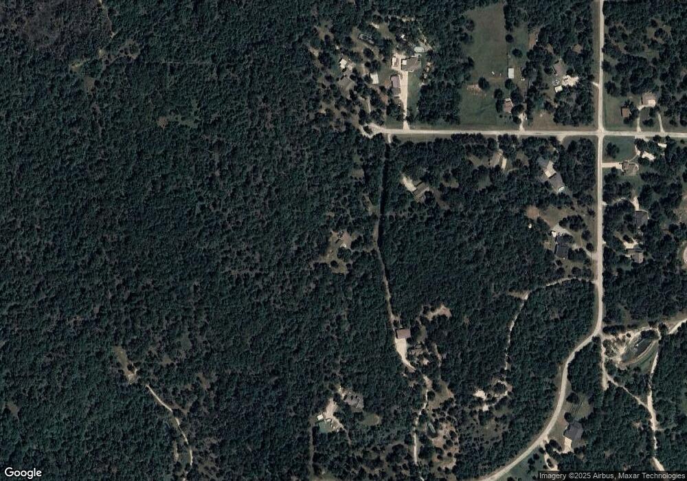
Map
Nearby Homes
- 5694 W 161st St N
- 16561 N 56th West Ave
- 5854 W 168th St N
- 5117 Woodland Dr
- 15524 N 55th West Ave
- 15439 N 55th West Ave
- 15971 Munson Ct
- 15823 Colonial Ln
- 18053 N Lombard
- 401 S Buffalo
- 0 W Rogers Blvd Unit 2543424
- 4 N 52nd West Ave
- 8 N 52nd West Ave
- 3 N 52nd West Ave
- 5 N 52nd West Ave
- 2 N 52nd West Ave
- 101 N Castle St
- 103 N Phillips St
- 7 Oklahoma 20
- 69 E Highway 20
- 5850 W 163rd St N
- 5799 W 161st St N
- 5799 W 161st St N
- 5855 W 163rd St N
- 11501 W 163rd St N
- 5750 W 163rd St N
- 16250 N 56th West Ave
- 16160 N 56th Ave W
- 5755 W 163rd St N
- 16160 N 56th West Ave
- 5725 W 163rd St N
- 16200 N 56th West Ave
- 16200 N 56th Ave W
- 5662 W 163rd St N
- 5872 W 161st St N
- 5835 W 161st St N
- 16390 N 56th West Ave
- 5872 E 161st St N
- 16233 N 56th West Ave